Minnehaha Creek below Grays Bay Dam Fishing Guides
The controlled outlet of Lake Minnetonka, where every drop of the creek's flow is set by a dam gate, running twenty two miles through Minneapolis to the Mississippi.
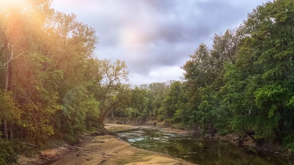
Guides on the Minnehaha Creek below Grays Bay Dam
Claimed profiles take booking requests. Unclaimed profiles are built from public records so the river is never empty; the guide can claim or remove one any time.
No guides listed yet
Guide or outfit this water? Create your profile. Listing is free, the commission is 10% or 7% with a premium profile, and premium profiles list first on this water.
About the Minnehaha Creek below Grays Bay Dam
Minnehaha Creek begins at a gate. The Grays Bay Dam at the eastern end of Lake Minnetonka is the sole source of the creek, and the Minnehaha Creek Watershed District sets the discharge according to the lake’s level and a published operating plan. That makes this one of the most thoroughly controlled small waters in the country: when the gate is closed the creek below runs to almost nothing, and when Minnetonka is high the release can turn it into a genuine river. Everything about fishing the upper creek follows from the number on the gauge.
The water that comes through is lake water, warm in summer and carrying the character of Minnetonka rather than of a spring fed stream, so this is a warmwater fishery throughout. Largemouth bass and northern pike move down out of the lake and hold in the deeper bends and under the overhanging cover of the first miles, and crappie, bluegill and yellow perch are present in numbers whenever flow is sufficient to keep the pools connected. Walleye turn up as strays from the lake above. Carp and white sucker are abundant and are a substantial part of the biomass in the lower reaches.
The creek’s real distinction is its route. From the dam it runs twenty two miles east through the western suburbs and into Minneapolis, where it drops over Minnehaha Falls and reaches the Mississippi a short distance below. Much of that corridor is parkland and the creek is accessible on foot for most of its length, which makes it one of the more genuinely public small waters in any American city. The gauge below the dam reports stage and gives the clearest picture of whether the creek is worth walking on a given week.
This water needs a real photo
The photo at the top of this page is not Minnehaha Creek below Grays Bay Dam.
It is a regional stand-in, honestly captioned but generic — we will not put a name to a river we cannot prove. Send us a photograph you took here and it replaces the stand-in, with your credit on it.
Add a photo of this water
Landscape, not fish — the water itself. Reviewed by hand before it appears. The first one published here earns the Pioneer badge.
Fished this water? Add a photo
Reviewed by hand before it appears. Pick the water, not the spot — we never publish exact locations.
Access
Minnetonka - the city at the dam, with the closest parking and the head of the creek trail.
Lake Minnetonka - the lake above, the source of the creek and a major fishery in its own right.
Grays Bay Dam - the control structure itself, the gauge reference point and the top of the creek.
Minneapolis - the city the creek runs through, with continuous parkland access along the lower miles.
Minnehaha Falls - the waterfall near the mouth, the best known point on the creek.
Mississippi River - the receiving river below the falls, a large and varied fishery.
Saint Paul - the neighbouring city east, with the nearest airport shared and full services.
Seasons
Spring: the highest and most reliable flows of the year as Minnetonka draws down, and the best fishing in the upper creek.
Summer: flow depends entirely on the gate, and in dry years the upper reaches can be reduced to disconnected pools.
Fall: cooler water and steadier releases bring the bass and pike back onto the shallow edges.
Winter: the creek largely freezes and the fishing moves up onto Lake Minnetonka above the dam.
From the water
No logged trips yet. Be the first to put this water on your map.
Log this water
Fished it or cleaned it? Log in or create a free account to log a trip with photos and earn the waterway badge.
Questions
What species can you catch on the Minnehaha Creek below Grays Bay Dam?
Anglers target Black Crappie, Bluegill, Carp, Largemouth Bass, Northern Pike, Walleye, White Sucker, Yellow Perch on the Minnehaha Creek below Grays Bay Dam in Minnesota.
Where can you access the Minnehaha Creek below Grays Bay Dam?
Minnetonka - the city at the dam, with the closest parking and the head of the creek trail. Lake Minnetonka - the lake above, the source of the creek and a major fishery in its own right. Grays Bay Dam - the control structure itself, the gauge reference point and the top of the creek. Minneapolis - the city the creek runs through, with continuous parkland access along the lower miles. Minnehaha Falls - the waterfall near the mouth, the best known point on the creek. Mississippi River - the receiving river below the falls, a large and varied fishery. Saint Paul - the neighbouring city east, wit...
When is the best time to fish the Minnehaha Creek below Grays Bay Dam?
Spring: the highest and most reliable flows of the year as Minnetonka draws down, and the best fishing in the upper creek. Summer: flow depends entirely on the gate, and in dry years the upper reaches can be reduced to disconnected pools. Fall: cooler water and steadier releases bring the bass and pike back onto the shallow edges. Winter: the creek largely freezes and the fishing moves up onto Lake Minnetonka above the dam.
Where are the fishing regulations for the Minnehaha Creek below Grays Bay Dam?
Regulations change by season and section. Read the current rules on the Minnesota agency site: https://www.dnr.state.mn.us/regulations/fishing/index.html