Caillou Bay Fishing Guides
A broad, shallow Terrebonne Parish bay behind the Isles Dernieres, fished out of Cocodrie for trout and redfish, with a gauge reporting stage and water temperature.
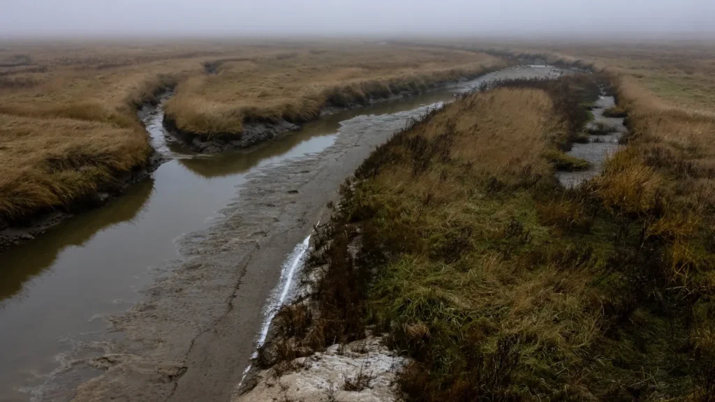
Guides on the Caillou Bay
Claimed profiles take booking requests. Unclaimed profiles are built from public records so the river is never empty; the guide can claim or remove one any time.
No guides listed yet
Guide or outfit this water? Create your profile. Listing is free, the commission is 10% or 7% with a premium profile, and premium profiles list first on this water.
About the Caillou Bay
Caillou Bay lies southwest of Cocodrie, a wide and mostly shallow bay held in on the Gulf side by the remnant barrier islands of the Isles Dernieres. It is classic central Louisiana estuary water: shell reefs, marsh shoreline, oyster leases and a lot of open bay that looks featureless until you learn where the bottom changes. Depth is measured in single feet across most of it, which makes wind the governing factor on any given day far more than tide.
The gauge reports stage and water temperature. Stage here is a tide and wind record rather than a flow record, and on a bay this shallow a sustained south wind will stack water in and a north wind will drain it out well beyond what the tide table predicts. Anglers who fish it regularly watch the wind forecast first and the tide second, which is the reverse of how a pass or a river mouth is read. Water temperature matters as much, since the shallow bottom heats and cools far faster than the deeper passes to the east and moves the fish earlier in both directions.
Speckled trout over the reefs and redfish along the marsh edges are the mainstays. The barrier islands on the south side give the bay some protection and hold fish along their inside shorelines, and the cuts between them fish well on moving water. Cocodrie is the practical base, a small settlement at the end of Highway 56 that exists almost entirely for fishing, with launches, camps and a long-established guide fleet. The road in is itself a reminder of what this coast is losing, running for miles through marsh that was solid ground within living memory. Land loss has opened the bay to the Gulf more than it once was, and long-time guides will tell you the water is saltier and the reefs fewer than they were a generation ago.
This water needs a real photo
The photo at the top of this page is not Caillou Bay.
It is a regional stand-in, honestly captioned but generic — we will not put a name to a river we cannot prove. Send us a photograph you took here and it replaces the stand-in, with your credit on it.
Add a photo of this water
Landscape, not fish — the water itself. Reviewed by hand before it appears. The first one published here earns the Pioneer badge.
Fished this water? Add a photo
Reviewed by hand before it appears. Pick the water, not the spot — we never publish exact locations.
Access
Cocodrie - the settlement at the end of Highway 56 and the practical base for the bay, with launches, camps and guides.
Isles Dernieres - the barrier island chain on the Gulf side, with inside shorelines and cuts that hold fish on moving water.
Chauvin - the larger community up the bayou, with fuel, food and additional launch options.
Houmas - the parish hub well inland, the nearest full services, tackle and lodging.
Terrebonne Bay - the adjoining bay to the east, the usual alternative when wind makes this one unfishable.
Oyster reefs - scattered shell across the bay bottom, the structure that concentrates trout through the warmer months.
Marsh shoreline - the northern edge of the bay, with cuts and points that hold redfish year round.
Seasons
Spring: warming water brings trout onto the reefs and redfish tight to the marsh edges, with wind the main limiting factor.
Summer: the most reliable stretch, fished early over the shell before the afternoon wind builds and the bay turns off-colour.
Fall: bait flushes out of the marsh on falling tides and the fishing is at its best, with flounder moving through the cuts.
Winter: redfish school in the shallow ponds and dead-end canals, and trout drop into whatever deeper water the bay offers.
From the water
No logged trips yet. Be the first to put this water on your map.
Log this water
Fished it or cleaned it? Log in or create a free account to log a trip with photos and earn the waterway badge.
Questions
What species can you catch on the Caillou Bay?
Anglers target Black Drum, Blue Crab, Gafftopsail Catfish, Ladyfish, Red Drum, Sheepshead, Southern Flounder, Spotted Seatrout, Striped Mullet on the Caillou Bay in Louisiana.
Where can you access the Caillou Bay?
Cocodrie - the settlement at the end of Highway 56 and the practical base for the bay, with launches, camps and guides. Isles Dernieres - the barrier island chain on the Gulf side, with inside shorelines and cuts that hold fish on moving water. Chauvin - the larger community up the bayou, with fuel, food and additional launch options. Houmas - the parish hub well inland, the nearest full services, tackle and lodging. Terrebonne Bay - the adjoining bay to the east, the usual alternative when wind makes this one unfishable. Oyster reefs - scattered shell across the bay bottom, the structure that...
When is the best time to fish the Caillou Bay?
Spring: warming water brings trout onto the reefs and redfish tight to the marsh edges, with wind the main limiting factor. Summer: the most reliable stretch, fished early over the shell before the afternoon wind builds and the bay turns off-colour. Fall: bait flushes out of the marsh on falling tides and the fishing is at its best, with flounder moving through the cuts. Winter: redfish school in the shallow ponds and dead-end canals, and trout drop into whatever deeper water the bay offers.
Where are the fishing regulations for the Caillou Bay?
Regulations change by season and section. Read the current rules on the Louisiana agency site: https://www.wlf.louisiana.gov/page/saltwater-sport-fishing-regulations