Wailuku River Fishing Guides
Hawaii's longest river drops off the saddle between Mauna Kea and Mauna Loa into Hilo, a flashy tropical freestone with introduced bass and catfish in its lower pools.
Guides on the Wailuku River
Claimed profiles take booking requests. Unclaimed profiles are built from public records so the river is never empty; the guide can claim or remove one any time.
No guides listed yet
Guide or outfit this water? Create your profile. Listing is free, the commission is 10% or 7% with a premium profile, and premium profiles list first on this water.
About the Wailuku River
The Wailuku is the longest river in the Hawaiian Islands and the only one on the state’s list of guided-float candidates that behaves like a mainland freestone at all. It gathers on the saddle between Mauna Kea and Mauna Loa, runs roughly twenty-eight miles down the wet windward slope, and enters Hilo Bay past Rainbow Falls and the Boiling Pots. The USGS gauge at Piihonua sits above the falls and watches a drainage of about two hundred and twenty square miles. It reports discharge and stage but carries no water temperature series, so anyone planning a trip here reads flow and rainfall rather than a thermometer.
Fishing the Wailuku is a different proposition from fishing a temperate river, and it is worth being plain about that. Hawaii has no native freshwater sport fish in the sense a visiting angler expects. The stream’s native fauna is dominated by amphidromous gobies, the o’opu, which are culturally important and are not a sport target. What anglers actually catch in the lower river and its slower pools are introduced species: smallmouth and largemouth bass, channel catfish, bluegill and tilapia, all established well enough to fish for. Most of that water is below the gauge, in the reaches nearer Hilo where the gradient eases.
Flow is the whole story. The east slope of the Big Island is among the wettest places in the United States, and the Wailuku responds to it within hours. The river can go from a clear, wadeable trickle to a brown flood and back inside a day, and the gorge sections between Piihonua and town are genuinely dangerous when it rises. The Boiling Pots and Rainbow Falls reaches have taken lives. Local practice is to treat any sharp rise on the gauge, or heavy rain anywhere upslope, as a reason to be out of the channel entirely.
There is no established guided drift-boat trade here. What exists is walk-and-wade access from Hilo’s parks and bridges, and the value of the gauge is mostly as a safety instrument: it tells you whether the river is fishable or whether it is running.
This water needs a real photo
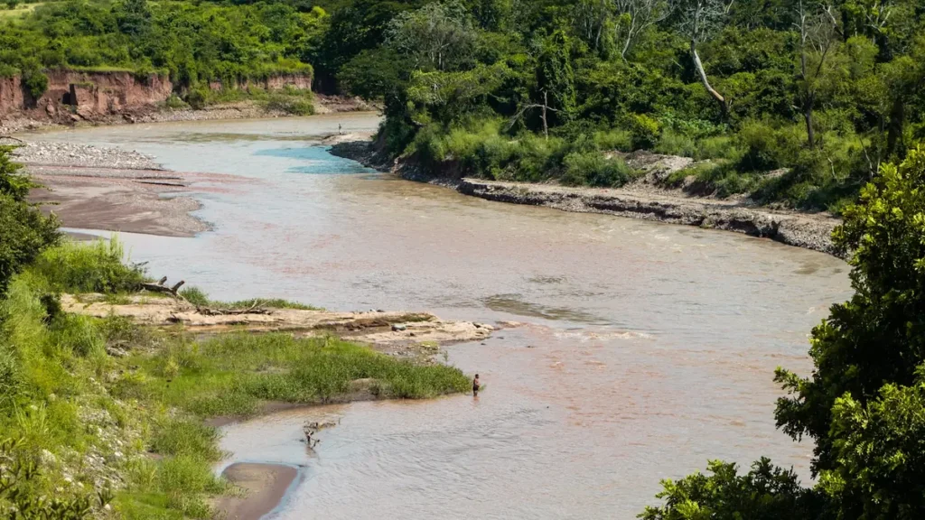
The photo at the top of this page is not Wailuku River.
It is a regional stand-in, honestly captioned but generic — we will not put a name to a river we cannot prove. Send us a photograph you took here and it replaces the stand-in, with your credit on it.
Add a photo of this water
Landscape, not fish — the water itself. Reviewed by hand before it appears. The first one published here earns the Pioneer badge.
Fished this water? Add a photo
Reviewed by hand before it appears. Pick the water, not the spot — we never publish exact locations.
Access
Wailuku River State Park, Rainbow Falls unit - paved parking and overlooks; viewing rather than fishing water.
Boiling Pots section, Peepee Falls - dramatic pool-and-drop reach, extremely dangerous on any rise.
Piihonua gauge vicinity - the flow reference for the whole river.
Wainaku and lower bridge pullouts - the easiest walk-in access to the slower lower pools.
Hilo Bayfront near the river mouth - estuarine water where the river meets the bay.
Kaumana area upstream access - steep and rough; a second gauge sits on this reach.
Puueo Street bridge - short walk to holding water below the falls complex.
Seasons
Spring: reliably wet, with frequent spikes; fish the lower pools between rain events.
Summer: the most settled window and the best odds of low, clear, wadeable water.
Fall: rainfall increases again and flashy rises become more frequent.
Winter: wettest and least predictable; the river is often unfishable and the gorge unsafe.
From the water
No logged trips yet. Be the first to put this water on your map.
Log this water
Fished it or cleaned it? Log in or create a free account to log a trip with photos and earn the waterway badge.
Questions
What species can you catch on the Wailuku River?
Anglers target Bluegill, Channel Catfish, Largemouth Bass, Smallmouth Bass, Tilapia on the Wailuku River in Hawaii.
Where can you access the Wailuku River?
Wailuku River State Park, Rainbow Falls unit - paved parking and overlooks; viewing rather than fishing water. Boiling Pots section, Peepee Falls - dramatic pool-and-drop reach, extremely dangerous on any rise. Piihonua gauge vicinity - the flow reference for the whole river. Wainaku and lower bridge pullouts - the easiest walk-in access to the slower lower pools. Hilo Bayfront near the river mouth - estuarine water where the river meets the bay. Kaumana area upstream access - steep and rough; a second gauge sits on this reach. Puueo Street bridge - short walk to holding water below the falls...
When is the best time to fish the Wailuku River?
Spring: reliably wet, with frequent spikes; fish the lower pools between rain events. Summer: the most settled window and the best odds of low, clear, wadeable water. Fall: rainfall increases again and flashy rises become more frequent. Winter: wettest and least predictable; the river is often unfishable and the gorge unsafe.
Where are the fishing regulations for the Wailuku River?
Regulations change by season and section. Read the current rules on the Hawaii agency site: https://dlnr.hawaii.gov/dar/fishing/fishing-regulations/