Saco River Fishing Guides
A White Mountain freestone running out of Crawford Notch through North Conway — cold pocket water up top, sandy pools and smallmouth below, and one of New England's busiest paddling rivers.
Map of the Saco River
31 numbered points: 6 access points, 5 campsites, 1 bait & fly shop, 9 bridges, 8 parks and conservation areas, 1 regulation section limit, 1 USGS gauge. Tap a marker for details. Reviewed Sep 25, 2026.
- Access / boat ramp (6)
- Campsite (5)
- Bait, tackle & fly shop (1)
- Bridge crossing (9)
- Park / conservation area (8)
- Regulation section limit (1)
- USGS gauge (1)
Print it. Bag it. Bring it.Phones die, screens crack, and most of this water has no signal. Print this map, fold it into a zip-top bag or dry bag with your license, and you have a backup your electronics can’t give you. Every marker is numbered so you can say exactly where you are.
Open the printable mapAll 31 points on this map
| # | Point | Type | Lat, Lon | Notes |
|---|---|---|---|---|
| 1 | Crawford Notch State Park NH State Parks - shorebank | Park / conservation area | 44.18260, -71.39860 | |
| 2 | Dry River Campground Crawford Notch State Park | Campsite | 44.15615, -71.36216 | |
| 3 | US 302 bridge, Crawford Notch Crawford Notch Road | Bridge crossing | 44.15322, -71.36471 | |
| 4 | Crawford Notch Campground Harts Location | Campsite | 44.13050, -71.35713 | |
| 5 | Bemis Bridge Harts Location | Bridge crossing | 44.12052, -71.35372 | |
| 6 | Davis Path shore access NH DOT - shorebank, Harts Location | Access / boat ramp | 44.11840, -71.35370 | |
| 7 | Fourth Iron Campground WMNF, at the Sawyer River confluence | Campsite | 44.08530, -71.34541 | |
| 8 | Sawyer Rock Picnic Ground White Mountain National Forest | Park / conservation area | 44.07589, -71.32778 | |
| 9 | Bear Notch Road bridge Bartlett | Bridge crossing | 44.08368, -71.28529 | |
| 10 | Bartlett Village Gazebo Park Bartlett | Park / conservation area | 44.07845, -71.28186 | |
| 11 | Thorne Pond Conservation Area Bartlett | Park / conservation area | 44.08292, -71.25020 | |
| 12 | Saco River Conservation Easement NH Fish & Game - walk-in, with Attitash | Access / boat ramp | 44.08180, -71.24820 | |
| 13 | US 302 bridge, Glen Crawford Notch Road | Bridge crossing | 44.09528, -71.20303 | |
| 14 | Glen Ellis Family Campground Glen | Campsite | 44.10504, -71.17912 | |
| 15 | Humphreys Ledge Natural Area NH Division of Forests and Lands | Park / conservation area | 44.08764, -71.16580 | |
| 16 | Conway special-rule section NH Fish & Game - fly-fishing-only water, Lucy Brook | Regulation section limit | 44.06838, -71.14993 | Upstream limit at the Lucy Brook confluence, marked by a sign. NH Fish and Game publishes two different downstream limits for this reach (Artist Falls Brook, Mill Brook), so only the upstream limit is mapped. |
| 17 | Hussey Field Town of Conway | Park / conservation area | 44.05831, -71.14109 | |
| 18 | North Country Angler North Conway - fly shop, guides and licences | Bait, tackle & fly shop | 44.05746, -71.13365 | Placed from the shop street address on White Mountain Highway; not mapped in OSM. |
| 19 | Hussey Field boating and tubing access Town of Conway - cartop; 15-minute parking | Access / boat ramp | 44.05660, -71.13960 | |
| 20 | First Bridge Conservation Area Town of Conway - cartop; parking fee or sticker | Access / boat ramp | 44.05640, -71.13740 | |
| 21 | River Road bridge, Conway | Bridge crossing | 44.05632, -71.13803 | |
| 22 | Dahl Wildlife Sanctuary Audubon Society of New Hampshire | Park / conservation area | 44.01429, -71.11642 | |
| 23 | Pine Hill Community Forest Upper Saco Valley Land Trust | Park / conservation area | 44.00071, -71.10047 | |
| 24 | Eastern Slope Camping Area Conway | Campsite | 43.99299, -71.11575 | |
| 25 | West Side Covered Bridge Conway | Bridge crossing | 43.98488, -71.11931 | |
| 26 | Saco River Bridge Covered bridge, East Side Road, Conway | Bridge crossing | 43.98304, -71.11707 | |
| 27 | Davis Park Town of Conway - beach and picnic area | Access / boat ramp | 43.98290, -71.11600 | |
| 28 | NH 16 bridge, Conway White Mountain Highway | Bridge crossing | 43.98143, -71.11504 | |
| 29 | USGS gauge 01064500 - Saco River near Conway Live flow and stage | USGS gauge | 43.99083, -71.09056 | |
| 30 | US 302 bridge, Center Conway Eastman Road | Bridge crossing | 43.99525, -71.08595 | |
| 31 | Smith-Eastman Recreation Area Town of Conway - canoe access | Access / boat ramp | 44.00100, -71.08310 |
Guides on the Saco River
Claimed profiles take booking requests. Unclaimed profiles are built from public records so the river is never empty; the guide can claim or remove one any time.
No guides listed yet
Guide or outfit this water? Create your profile. Listing is free, the commission is 10% or 7% with a premium profile, and premium profiles list first on this water.
About the Saco River
The Saco rises at Saco Lake in Crawford Notch and runs southeast through Bartlett, Glen and North Conway before crossing into Maine. The upper river is a steep White Mountain freestone: cold, clear, boulder-strewn pocket water tight against Route 302, fed by tributaries coming straight off the Presidential Range. Below Bartlett the gradient eases, the bed turns sandy, and by the Conway reach where this gauge sits it has become a wide, gravel-and-sand river with long flats, big pools and a very different character. Most visitors know the lower river as a summer tubing and canoe corridor; the fishing above it is what anglers come for.
Wild brook trout hold in the upper river and its feeder streams, and they are the heart of the fishery — small, bright and willing in the pocket water above Bartlett. New Hampshire Fish and Game stocks brook, brown and rainbow trout through the accessible reaches, and holdover browns of real size live in the deeper pools around Conway. Smallmouth bass take over below town as the water warms through the summer, and landlocked salmon turn up occasionally in the system. Hatches are typical northern New England — early stoneflies, caddis through May and June, and good terrestrial fishing along the banks in late summer.
Access is easy because Route 302 and Route 16 follow the river almost the whole way, with pull-offs, bridges and state park frontage at Crawford Notch and Echo Lake. Wading is straightforward in the upper river and the lower flats. The caution is recreational traffic: from late June through August the Conway reach carries very heavy tubing and paddling use, and serious fishing there means early mornings or moving upstream.
The gauge near Conway is the standard flow reference. Spring snowmelt drives high, cold water into May, and late-summer readings drop low enough that trout concentrate in the deepest pools.
This water needs a real photo
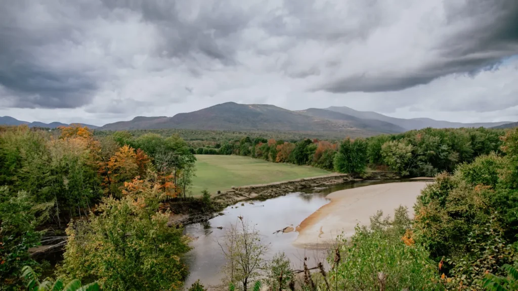
The photo at the top of this page is not Saco River.
It is a regional stand-in, honestly captioned but generic — we will not put a name to a river we cannot prove. Send us a photograph you took here and it replaces the stand-in, with your credit on it.
Add a photo of this water
Landscape, not fish — the water itself. Reviewed by hand before it appears. The first one published here earns the Pioneer badge.
Fished this water? Add a photo
Reviewed by hand before it appears. Pick the water, not the spot — we never publish exact locations.
Access
Crawford Notch State Park — headwater access at Saco Lake and the upper pocket water.
Route 302 pull-offs through Hart's Location and Bartlett — roadside access to the freestone reach.
Bartlett village accesses — the transition between pocket water and flats.
Echo Lake State Park, North Conway — parking and access to the middle river.
Davis Park and First Bridge, Conway — access near the USGS gauge.
Smith-Eastman Landing, Conway — the main paddle put-in and take-out on the lower river.
Route 16 crossings toward Fryeburg — lower river access approaching the Maine line.
Seasons
Spring: high, cold snowmelt into May; fish the edges and the slower seams as flows drop.
Summer: best early. Caddis and terrestrials up top; the Conway reach is crowded with tubers by midday.
Fall: low, clear water and the best pocket-water fishing of the year for wild brook trout.
Winter: largely closed to trout fishing; check current New Hampshire season dates before planning.
From the water
No logged trips yet. Be the first to put this water on your map.
Log this water
Fished it or cleaned it? Log in or create a free account to log a trip with photos and earn the waterway badge.
Questions
What is the current flow on the Saco River?
As of Nov 2, 6:45 am, the USGS gauge Saco River near Conway, NH reads 173 cfs. Conditions update every 15 minutes.
What species can you catch on the Saco River?
Anglers target Brook Trout, Brown Trout, Landlocked Salmon, Rainbow Trout, Smallmouth Bass on the Saco River in New Hampshire.
Where can you access the Saco River?
Crawford Notch State Park — headwater access at Saco Lake and the upper pocket water. Route 302 pull-offs through Hart's Location and Bartlett — roadside access to the freestone reach. Bartlett village accesses — the transition between pocket water and flats. Echo Lake State Park, North Conway — parking and access to the middle river. Davis Park and First Bridge, Conway — access near the USGS gauge. Smith-Eastman Landing, Conway — the main paddle put-in and take-out on the lower river. Route 16 crossings toward Fryeburg — lower river access approaching the Maine line.
When is the best time to fish the Saco River?
Spring: high, cold snowmelt into May; fish the edges and the slower seams as flows drop. Summer: best early. Caddis and terrestrials up top; the Conway reach is crowded with tubers by midday. Fall: low, clear water and the best pocket-water fishing of the year for wild brook trout. Winter: largely closed to trout fishing; check current New Hampshire season dates before planning.
Where are the fishing regulations for the Saco River?
Regulations change by season and section. Read the current rules on the New Hampshire agency site: https://www.wildlife.nh.gov/laws-and-rules