Fishes Kern River
River · Southern Sierra Nevada of California and the Kern County valley floor, from the Kernville canyon down through Lake Isabella to Bakersfield · California
Kern River Fishing Guides
Southern California's best-known trout and whitewater river, dropping out of the Kern Plateau through Kernville and Lake Isabella to the Bakersfield valley floor.
Map of the Kern River
15 numbered points: 4 campsites, 8 hazards, 2 USGS gauges, 1 point of interest. Tap a marker for details. Reviewed Oct 22, 2026.
- Campsite (4)
- Dam / hazard (8)
- USGS gauge (2)
- Point of interest (1)
Map data © OpenStreetMap contributors. Points are curated from OpenStreetMap and state agency sources; confirm access and hours before you go.
Print it. Bag it. Bring it.Phones die, screens crack, and most of this water has no signal. Print this map, fold it into a zip-top bag or dry bag with your license, and you have a backup your electronics can’t give you. Every marker is numbered so you can say exactly where you are.
Open the printable mapAll 15 points on this map
| # | Point | Type | Lat, Lon | Notes |
|---|---|---|---|---|
| 1 | Isabella Main Dam Upstream limit of the lower river | Dam / hazard | 35.64611, -118.48228 | The lower Kern starts at this dam; everything above it is Lake Isabella. |
| 2 | Sandy Flat Campground Sequoia National Forest | Campsite | 35.58339, -118.52527 | Fee campground on the canyon reach at chain-km 12, just off the Kern River Highway. |
| 3 | Hobo Campground Sequoia National Forest | Campsite | 35.57478, -118.52799 | Riverside forest campground a kilometre below Sandy Flat, chain-km 14. |
| 4 | Diversion No. 1 Dam Canyon diversion structure | Dam / hazard | 35.52549, -118.67483 | Diversion dam sitting squarely in the channel at chain-km 33; mapped in OSM as 'Diversion Number 1 104-002 Dam'. |
| 5 | Kern River No. 1 Forebay Dam Hydro forebay dam | Dam / hazard | 35.46027, -118.78018 | Forebay dam for the Kern River No. 1 powerhouse, chain-km 50. |
| 6 | USGS Kern River at Rancheria Road Canyon-mouth gauge | USGS gauge | 35.42583, -118.82936 | The gauge where the river leaves the canyon, chain-km 57. |
| 7 | Kern River County Park Dam Small dam in the county park reach | Dam / hazard | 35.44148, -118.86005 | Low dam at the head of the Kern River County Park frontage. |
| 8 | Kern River Camp Ground Kern County parks | Campsite | 35.43528, -118.87706 | County campground on the river where it meets the valley floor, chain-km 64. |
| 9 | Beardsley Weir Irrigation weir | Dam / hazard | 35.42525, -118.96055 | First of the Bakersfield irrigation weirs, chain-km 76; the river below here is often dewatered. |
| 10 | Four Weirs Weir group, chain-km 82 | Dam / hazard | 35.40079, -119.00738 | Group of diversion weirs on the north-east edge of Bakersfield. |
| 11 | Calloway Weir Irrigation weir | Dam / hazard | 35.39946, -119.02668 | Major diversion weir at chain-km 84, where much of the remaining flow is taken out. |
| 12 | Bakersfield River Run RV Park Private RV park | Campsite | 35.37761, -119.04827 | RV park on the river bank in north-west Bakersfield. |
| 13 | Turner's Outdoorsman Tackle shop, Bakersfield | Point of interest | 35.38252, -119.06591 | The nearest full tackle shop to the Bakersfield reaches, about 1.3 km off the river. |
| 14 | USGS 11194152 Kern River at Enos Park Foot Bridge Primary flow reference | USGS gauge | 35.30354, -119.25165 | The river's headline gauge, on the valley floor west of Bakersfield at chain-km 109. |
| 15 | Richfield Weir Lowest mapped weir | Dam / hazard | 35.29302, -119.28344 | The last weir on the chained reach, chain-km 113. |
Guides on the Kern River
Claimed profiles take booking requests. Unclaimed profiles are built from public records so the river is never empty; the guide can claim or remove one any time.
Order on this page: premium and outfitter plans first (labelled Premium placement), then claimed free profiles, then unclaimed — one published price, no bidding for position. How placement works
About the Kern River
The Kern is the river that made trout fishing possible in southern California. It falls off the Kern Plateau in the southern Sierra, runs a long granite canyon past Johnsondale and Kernville into Lake Isabella, then leaves the dam and drops through the lower canyon to the valley floor at Bakersfield. Guides work it as two quite different rivers. The Upper Kern above Isabella is a pocket-water trout stream with a wild rainbow strain found nowhere else, fished from the bank and by wading, and shared all summer with one of the busiest commercial whitewater operations in the state. The Lower Kern below the dam is bigger, warmer and more forgiving, floated in rafts and fished for stocked and holdover rainbows.
By the time the river reaches the gauge on the Bakersfield edge of the valley it has become something else again. Here the Kern is a warmwater river with bass, catfish, bluegill and carp, running through parkway and orchard country and depending heavily on what is being released and diverted upstream. In dry years the channel through town can go nearly dry; in wet years it is a serious river. This gauge is the valley-floor station rather than a canyon gauge, so read it as the bottom of the system, not as a proxy for conditions at Kernville.
Flow is the whole story on the Kern and it changes fast. Snowmelt in May and June can put the upper canyon out of fishing range while making the whitewater season, and the same runoff filling Isabella governs what the lower river gets for the rest of the summer. Anyone planning a trip should check both the release and the season dates, because sections of the upper river carry special regulations and the wild trout water above Johnsondale is managed differently from the stocked reaches near town.
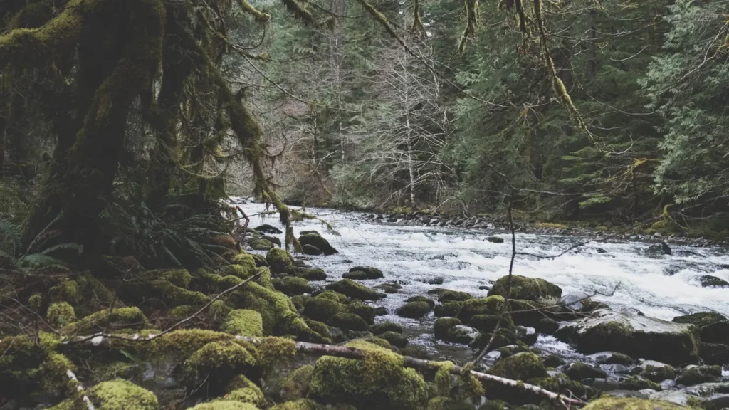
This water needs a real photo
The photo at the top of this page is not Kern River.
It is a regional stand-in, honestly captioned but generic — we will not put a name to a river we cannot prove. Send us a photograph you took here and it replaces the stand-in, with your credit on it.
Pioneer badgeUnclaimed
Add a photo of this water
Landscape, not fish — the water itself. Reviewed by hand before it appears. The first one published here earns the Pioneer badge.
Fished this water? Add a photo
Reviewed by hand before it appears. Pick the water, not the spot — we never publish exact locations.
Access
Johnsondale Bridge - trailhead access to the wild trout water on the upper river above Kernville.
Fairview Dam area on Mountain Road 99 - roadside pocket water in the upper canyon.
Riverside Park in Kernville - town access with parking, the most-used bank fishing on the upper river.
Sandy Flat and Hobo campgrounds below Isabella - developed lower canyon access and standard raft put-ins.
Democrat Springs day use area - lower canyon access on Highway 178 with parking and bank water.
Lake Ming and the Kern River Parkway east of Bakersfield - valley-floor access near the gauge.
Enos Lane and the lower parkway bike path crossings - urban bank access on the Bakersfield reach.
Seasons
Spring: snowmelt builds through May, the whitewater season opens, and fishing is best on the edges and in the lower canyon.
Summer: high water fades, the upper canyon fishes well early and late, and the valley reach turns warm and bass oriented.
Fall: the best trout weeks of the year on the upper river, with low clear water and much less recreational traffic.
Winter: cold and often low, with stocked fish near town and quiet wading in the canyon between storms.
From the water
No logged trips yet. Be the first to put this water on your map.
Log this water
Fished it or cleaned it? Log in or create a free account to log a trip with photos and earn the waterway badge.
Questions
What species can you catch on the Kern River?
Anglers target Bluegill, Brown Trout, Channel Catfish, Common Carp, Largemouth Bass, Rainbow Trout, Smallmouth Bass on the Kern River in California.
Are there fishing guides on the Kern River?
GuidedFloats lists 1 guide and outfitters on the Kern River. Claimed profiles accept booking requests; unclaimed profiles are built from public records and link to the business.
Where can you access the Kern River?
Johnsondale Bridge - trailhead access to the wild trout water on the upper river above Kernville. Fairview Dam area on Mountain Road 99 - roadside pocket water in the upper canyon. Riverside Park in Kernville - town access with parking, the most-used bank fishing on the upper river. Sandy Flat and Hobo campgrounds below Isabella - developed lower canyon access and standard raft put-ins. Democrat Springs day use area - lower canyon access on Highway 178 with parking and bank water. Lake Ming and the Kern River Parkway east of Bakersfield - valley-floor access near the gauge. Enos Lane and the l...
When is the best time to fish the Kern River?
Spring: snowmelt builds through May, the whitewater season opens, and fishing is best on the edges and in the lower canyon. Summer: high water fades, the upper canyon fishes well early and late, and the valley reach turns warm and bass oriented. Fall: the best trout weeks of the year on the upper river, with low clear water and much less recreational traffic. Winter: cold and often low, with stocked fish near town and quiet wading in the canyon between storms.
Where are the fishing regulations for the Kern River?
Regulations change by season and section. Read the current rules on the California agency site: https://wildlife.ca.gov/Fishing/Inland/Regulations