Santa Ynez River Fishing Guides
The regulated reach below Gibraltar Dam in the Santa Barbara backcountry, a hike-in coastal trout stream with a complicated water history.
Guides on the Santa Ynez River
Claimed profiles take booking requests. Unclaimed profiles are built from public records so the river is never empty; the guide can claim or remove one any time.
No guides listed yet
Guide or outfit this water? Create your profile. Listing is free, the commission is 10% or 7% with a premium profile, and premium profiles list first on this water.
About the Santa Ynez River
The Santa Ynez is the largest river on California’s central coast and one of the most heavily managed. It rises in the Los Padres National Forest behind Santa Barbara, is impounded twice in quick succession by Gibraltar Dam and then by Bradbury Dam at Lake Cachuma, and finally runs west through the Santa Ynez Valley to the Pacific near Lompoc. The reach that interests anglers most is the regulated water below Gibraltar, a canyon stretch inside the national forest that stays cooler and wetter than the surrounding country and holds rainbow trout in a landscape that is otherwise oak, chaparral and sandstone.
This is backcountry fishing and it should be approached that way. Access means hiking, the canyon is remote, and the fishery is genuinely at the mercy of how much water is being released and how much rain the coast has seen. In wet years the reach fishes well and the trout are distributed through the pools and pocket water; in drought years the river can shrink to isolated pools and the fishing effectively disappears. The rainbows here are also part of a much larger and long-running conservation story, since the Santa Ynez historically carried a steelhead run and the dams are central to why it no longer does. Below Cachuma the river warms and the fishery shifts entirely, with largemouth and smallmouth bass, channel catfish and bluegill in the lower valley reaches.
The gauge below Gibraltar Dam reads discharge, stage and reservoir stage, with no temperature sensor. Treat the discharge trace as the single most important piece of trip planning on this water. A healthy steady flow means the canyon reach is connected and worth the hike; a trace at or near zero means the river is in disconnected pools and the trip is not worth making. Check it the morning you go.
This water needs a real photo
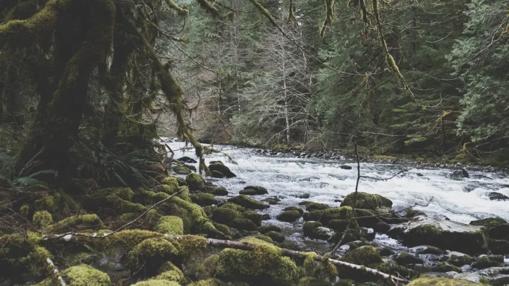
The photo at the top of this page is not Santa Ynez River.
It is a regional stand-in, honestly captioned but generic — we will not put a name to a river we cannot prove. Send us a photograph you took here and it replaces the stand-in, with your credit on it.
Add a photo of this water
Landscape, not fish — the water itself. Reviewed by hand before it appears. The first one published here earns the Pioneer badge.
Fished this water? Add a photo
Reviewed by hand before it appears. Pick the water, not the spot — we never publish exact locations.
Access
Red Rock trailhead, Paradise Road - the main walk-in access to the reach above Cachuma.
Gibraltar Dam outlet - the top of the regulated water, reached on foot or by fire road.
Los Padres National Forest Paradise Road crossings - several informal bank access points.
Upper Oso and Santa Cruz trail junctions - hike-in access to the upper canyon.
Lake Cachuma Recreation Area - developed access to the reservoir below the reach.
Highway 154 bridge - roadside access at the head of Cachuma.
Alisal Road crossing, Solvang - warmwater access on the lower valley river.
Seasons
Spring: the best of the year in the canyon, with runoff keeping the reach connected and fish spread out.
Summer: hot and low, with fishing limited to whatever pools hold water and best at first light.
Fall: dependent entirely on releases and late rain, often the thinnest fishing of the year.
Winter: storms bring the river back to life, though high flows can make the canyon unsafe to reach.
From the water
No logged trips yet. Be the first to put this water on your map.
Log this water
Fished it or cleaned it? Log in or create a free account to log a trip with photos and earn the waterway badge.
Questions
What species can you catch on the Santa Ynez River?
Anglers target Bluegill, Channel Catfish, Common Carp, Largemouth Bass, Rainbow Trout, Smallmouth Bass on the Santa Ynez River in California.
Where can you access the Santa Ynez River?
Red Rock trailhead, Paradise Road - the main walk-in access to the reach above Cachuma. Gibraltar Dam outlet - the top of the regulated water, reached on foot or by fire road. Los Padres National Forest Paradise Road crossings - several informal bank access points. Upper Oso and Santa Cruz trail junctions - hike-in access to the upper canyon. Lake Cachuma Recreation Area - developed access to the reservoir below the reach. Highway 154 bridge - roadside access at the head of Cachuma. Alisal Road crossing, Solvang - warmwater access on the lower valley river.
When is the best time to fish the Santa Ynez River?
Spring: the best of the year in the canyon, with runoff keeping the reach connected and fish spread out. Summer: hot and low, with fishing limited to whatever pools hold water and best at first light. Fall: dependent entirely on releases and late rain, often the thinnest fishing of the year. Winter: storms bring the river back to life, though high flows can make the canyon unsafe to reach.
Where are the fishing regulations for the Santa Ynez River?
Regulations change by season and section. Read the current rules on the California agency site: https://wildlife.ca.gov/Regulations