Cedar Bayou Fishing Guides
The bayou forming the Harris and Chambers county line, freshwater and timbered above Crosby and tidal below Baytown.
Guides on the Cedar Bayou
Claimed profiles take booking requests. Unclaimed profiles are built from public records so the river is never empty; the guide can claim or remove one any time.
No guides listed yet
Guide or outfit this water? Create your profile. Listing is free, the commission is 10% or 7% with a premium profile, and premium profiles list first on this water.
About the Cedar Bayou
Cedar Bayou runs south along the Harris and Chambers county line from the flat coastal prairie northeast of Houston down to upper Galveston Bay at Baytown. For most of its length it forms the county boundary, and for most of its length it is a quiet, stained, timber lined bayou that feels considerably more remote than its position on the edge of the fourth largest city in the country would suggest.
The reach around the Crosby gauge is fresh water. It is narrow and slow, with a soft bottom, undercut clay banks and heavy laydown timber, and it responds sharply to rainfall on the surrounding prairie. Below Baytown the bayou becomes tidal and industrial, meeting the ship channel environment of upper Galveston Bay, and the fishery shifts accordingly. The middle reach between the two is the transition and holds fish from both.
Up top the fishing is bayou bass fishing. Largemouth hold tight against the fallen timber and the cut banks and take soft plastics, spinnerbaits and shallow crankbaits worked close to wood. Bluegill are dense around the same cover. Channel and blue catfish work the deeper holes and are the most consistent target through the heat of the summer. Alligator gar are present and reach real size in the deeper sections, and they are fished for deliberately.
Below, in the tidal water, redfish and southern flounder use the shoreline drains and the creek mouths, particularly through the fall. The lower bayou carries industry and barge traffic, which shapes where it is pleasant to fish more than whether the fish are there. Anglers generally choose one end or the other rather than trying to treat the whole bayou as a single piece of water.
Access is a mix. Public ramps serve the lower bayou around Baytown, and the highway and farm road crossings give bank and kayak access through the middle and upper reaches. Much of the upper bank is private prairie and pasture, so a kayak launched at a bridge crossing is the practical way to fish it. Flow at the Crosby gauge is the honest check on whether the upper bayou is worth the trip after rain.
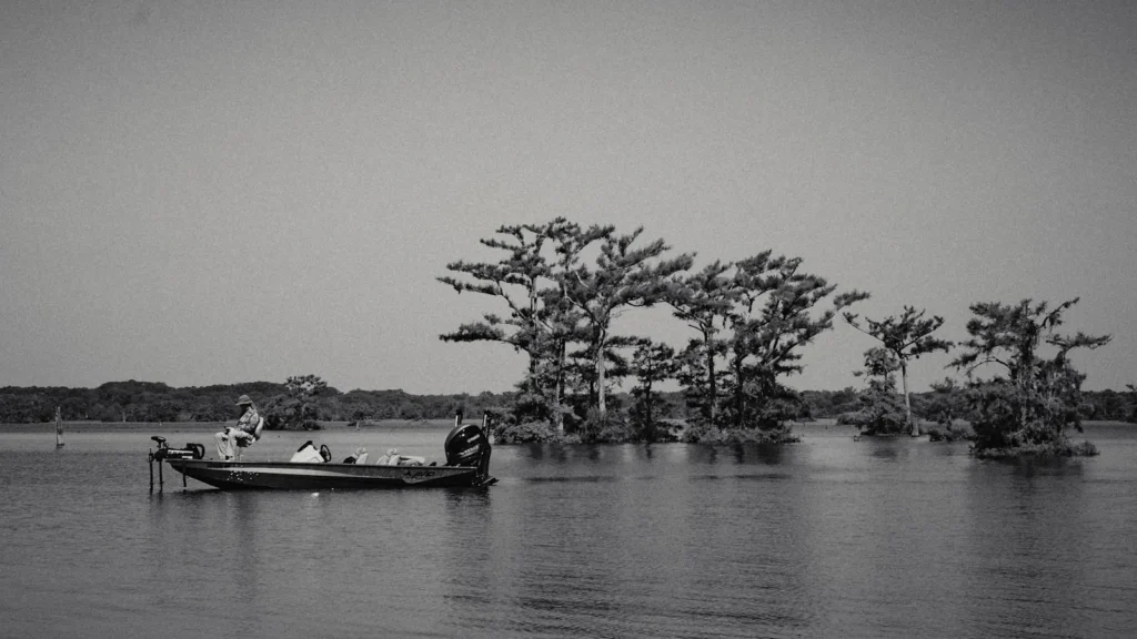
This water needs a real photo
The photo at the top of this page is not Cedar Bayou.
It is a regional stand-in, honestly captioned but generic — we will not put a name to a river we cannot prove. Send us a photograph you took here and it replaces the stand-in, with your credit on it.
Add a photo of this water
Landscape, not fish — the water itself. Reviewed by hand before it appears. The first one published here earns the Pioneer badge.
Fished this water? Add a photo
Reviewed by hand before it appears. Pick the water, not the spot — we never publish exact locations.
Access
Crosby - the Harris County community on the upper bayou and the gauge location.
Baytown - the city on the lower tidal bayou with public ramps.
Galveston Bay - the bay system the bayou drains into.
Mont Belvieu - the Chambers County town on the east bank in the middle reach.
Interstate 10 crossing - the highway bridge access dividing the fresh and tidal reaches.
Highlands - the community on the nearby San Jacinto River with additional ramps.
San Jacinto River - the larger neighboring drainage reaching the same bay.
Seasons
Spring: the strongest bass fishing of the year on the upper bayou timber.
Summer: hot low water up top, with catfish the most consistent target.
Fall: the flounder run and hard feeding redfish in the tidal lower bayou.
Winter: cool water and fish held in the deeper holes and channel bends.
From the water
No logged trips yet. Be the first to put this water on your map.
Log this water
Fished it or cleaned it? Log in or create a free account to log a trip with photos and earn the waterway badge.
Questions
What is the current flow on the Cedar Bayou?
As of Sep 17, 6:30 am, the USGS gauge Cedar Bayou nr Crosby, TX reads 3 cfs. Conditions update every 15 minutes.
What species can you catch on the Cedar Bayou?
Anglers target Alligator Gar, Blue Catfish, Bluegill, Channel Catfish, Largemouth Bass, Red Drum, Southern Flounder on the Cedar Bayou in Texas.
Where can you access the Cedar Bayou?
Crosby - the Harris County community on the upper bayou and the gauge location. Baytown - the city on the lower tidal bayou with public ramps. Galveston Bay - the bay system the bayou drains into. Mont Belvieu - the Chambers County town on the east bank in the middle reach. Interstate 10 crossing - the highway bridge access dividing the fresh and tidal reaches. Highlands - the community on the nearby San Jacinto River with additional ramps. San Jacinto River - the larger neighboring drainage reaching the same bay.
When is the best time to fish the Cedar Bayou?
Spring: the strongest bass fishing of the year on the upper bayou timber. Summer: hot low water up top, with catfish the most consistent target. Fall: the flounder run and hard feeding redfish in the tidal lower bayou. Winter: cool water and fish held in the deeper holes and channel bends.
Where are the fishing regulations for the Cedar Bayou?
Regulations change by season and section. Read the current rules on the Texas agency site: https://tpwd.texas.gov/regulations/outdoor-annual/fishing/