Antietam Creek Fishing Guides
A limestone creek running the length of the Hagerstown Valley to the Potomac, holding wild brown trout in its cold upper reaches and a strong smallmouth population below.
Guides on the Antietam Creek
Claimed profiles take booking requests. Unclaimed profiles are built from public records so the river is never empty; the guide can claim or remove one any time.
No guides listed yet
Guide or outfit this water? Create your profile. Listing is free, the commission is 10% or 7% with a premium profile, and premium profiles list first on this water.
About the Antietam Creek
Antietam Creek is known to most Americans for one day in September 1862, and the battlefield still shapes how the lower creek looks and who owns the land along it. For anglers it is something else entirely: a genuine limestone stream, fed by springs rising out of the valley floor, running clear and fertile through farm country for roughly forty miles before it reaches the Potomac below Sharpsburg.
Limestone geology is what sets it apart from the freestone streams in the ridges to the west. The groundwater feeding it is alkaline and mineral rich, which supports far more aquatic insect and crustacean life than an acidic mountain stream can, and it moderates temperature at both ends of the year. The upper creek and its spring tributaries stay cold enough for wild brown trout. The lower creek warms in summer but stays productive, and that fertility is why the smallmouth grow well here.
The creek fishes as two distinct waters. Above the valley the flow is smaller, cooler and more technical, with wild browns holding in undercut banks and weed edges and refusing anything clumsy. Below the confluences it widens into a classic mid-Atlantic smallmouth stream with riffles, ledges and long pools, and it is fished with crayfish imitations and small streamers from a kayak or on foot.
Access is better than on most private-land limestone creeks, largely because of the federal and state holdings along the lower reaches. The Antietam National Battlefield protects a long section, a state park runs along the creek near the mouth, and the towpath corridor at the Potomac provides a public endpoint. Higher up, much of the land is farmed and permission matters.
Flow is the variable to watch. Being spring fed gives the creek a firmer baseflow than a rain-driven stream, but the valley is agricultural and the creek still blows out and stains after heavy rain, clearing over two or three days. Spring and fall are the strongest windows, and summer mornings fish well in the shaded upper water long after the lower creek has warmed.
This water needs a real photo
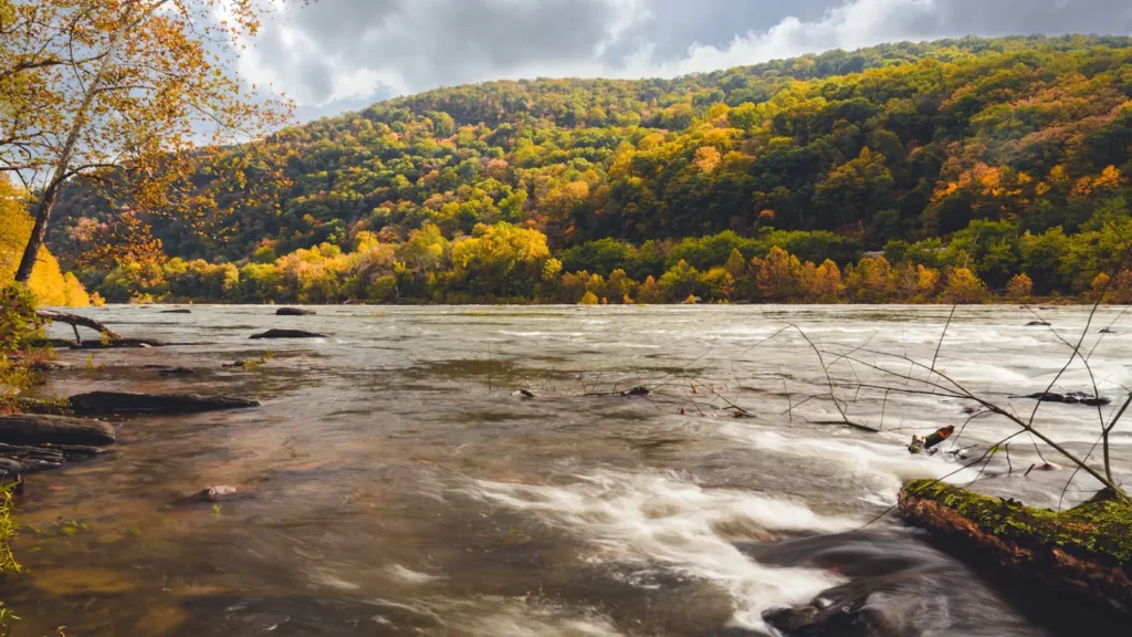
The photo at the top of this page is not Antietam Creek.
It is a regional stand-in, honestly captioned but generic — we will not put a name to a river we cannot prove. Send us a photograph you took here and it replaces the stand-in, with your credit on it.
Add a photo of this water
Landscape, not fish — the water itself. Reviewed by hand before it appears. The first one published here earns the Pioneer badge.
Fished this water? Add a photo
Reviewed by hand before it appears. Pick the water, not the spot — we never publish exact locations.
Access
Antietam National Battlefield - the federal land protecting a long public stretch of the lower creek.
Antietam Creek Aqueduct - the canal aqueduct at the mouth where the creek meets the Potomac.
Sharpsburg - the small town at the lower creek and the reference point for the gauge.
Hagerstown - the largest nearby city and the service center for the valley.
Devils Backbone County Park - the county park with public creek frontage upstream.
Chesapeake and Ohio Canal towpath - the public corridor along the Potomac at the confluence.
Potomac River - the larger river receiving the creek below Sharpsburg.
Seasons
Spring: strong steady flows, active smallmouth and the best wild trout fishing in the upper creek.
Summer: the lower creek warms and fishes early and late, while the spring-fed upper water stays cool.
Fall: cooling water and the most consistent smallmouth fishing of the year.
Winter: cold and clear, with trout in the upper reaches and smallmouth holding deep and slow.
From the water
No logged trips yet. Be the first to put this water on your map.
Log this water
Fished it or cleaned it? Log in or create a free account to log a trip with photos and earn the waterway badge.
Questions
What is the current flow on the Antietam Creek?
As of Sep 17, 6:30 am, the USGS gauge ANTIETAM CREEK NEAR SHARPSBURG, MD reads 94 cfs. Conditions update every 15 minutes.
What species can you catch on the Antietam Creek?
Anglers target Brown Trout, Channel Catfish, Fallfish, Redbreast Sunfish, Rock Bass, Smallmouth Bass on the Antietam Creek in Maryland.
Where can you access the Antietam Creek?
Antietam National Battlefield - the federal land protecting a long public stretch of the lower creek. Antietam Creek Aqueduct - the canal aqueduct at the mouth where the creek meets the Potomac. Sharpsburg - the small town at the lower creek and the reference point for the gauge. Hagerstown - the largest nearby city and the service center for the valley. Devils Backbone County Park - the county park with public creek frontage upstream. Chesapeake and Ohio Canal towpath - the public corridor along the Potomac at the confluence. Potomac River - the larger river receiving the creek below Sharpsbu...
When is the best time to fish the Antietam Creek?
Spring: strong steady flows, active smallmouth and the best wild trout fishing in the upper creek. Summer: the lower creek warms and fishes early and late, while the spring-fed upper water stays cool. Fall: cooling water and the most consistent smallmouth fishing of the year. Winter: cold and clear, with trout in the upper reaches and smallmouth holding deep and slow.
Where are the fishing regulations for the Antietam Creek?
Regulations change by season and section. Read the current rules on the Maryland agency site: https://dnr.maryland.gov/fisheries/Pages/regulations/index.aspx