Fishes St. Croix River
River · St. Croix Valley · Minnesota
St. Croix River Fishing Guides
A National Scenic Riverway on the Minnesota and Wisconsin border, running from the Namekagon confluence through Taylors Falls to Stillwater and Prescott, with world-class smallmouth and musky.
Gauge location. Map data © OpenStreetMap contributors.
Guides on the St. Croix River
Claimed profiles take booking requests. Unclaimed profiles are built from public records so the river is never empty; the guide can claim or remove one any time.
About the St. Croix River
The St. Croix forms the border between Minnesota and Wisconsin for its lower one hundred and thirty miles and was one of the original eight rivers protected under the Wild and Scenic Rivers Act in 1968. It is protected, clean, and remarkably intact for a river that ends within commuting distance of the Twin Cities, and it holds one of the best smallmouth bass populations in the Upper Midwest along with a serious musky fishery and a native lake sturgeon population.
The river has three personalities. Above Taylors Falls it is a narrower, faster, forested river with rock ledges and excellent smallmouth fishing, floated by canoe and jet boat. Through the Dalles at Taylors Falls it drops through a basalt gorge. Below, from Osceola down past Stillwater to the Mississippi at Prescott, it widens into Lake St. Croix, a slow, deep, half-mile-wide river fished from bass boats for smallmouth, musky and walleye.
The Stillwater gauge sits in that lower lake reach and reads the whole basin. This is a big-water reading, typically in the low thousands of cfs in summer; spring flows run several times higher and push the fish tight to structure. Water clarity is usually good, which suits sight-fishing the rock and grass in the upper river.
Stillwater, Osceola, Taylors Falls and Marine on St. Croix are river towns with lodging, ramps and outfitters, and the whole corridor is managed by the National Park Service, which keeps access reasonable and development limited. Guides here run everything from jet boats on the upper ledges to bass boats on the lower lake, and a day can be built around numbers of smallmouth, a shot at a musky, or a mix of both.
One more thing worth knowing before you book: the St. Croix is a border river, and Minnesota and Wisconsin have a reciprocal agreement covering most of it, but the details differ by section and by species. Confirm which license you need for the water you plan to fish, and check the current season dates for bass, walleye and musky, because they do not all open on the same day on both sides.
This water needs a real photo
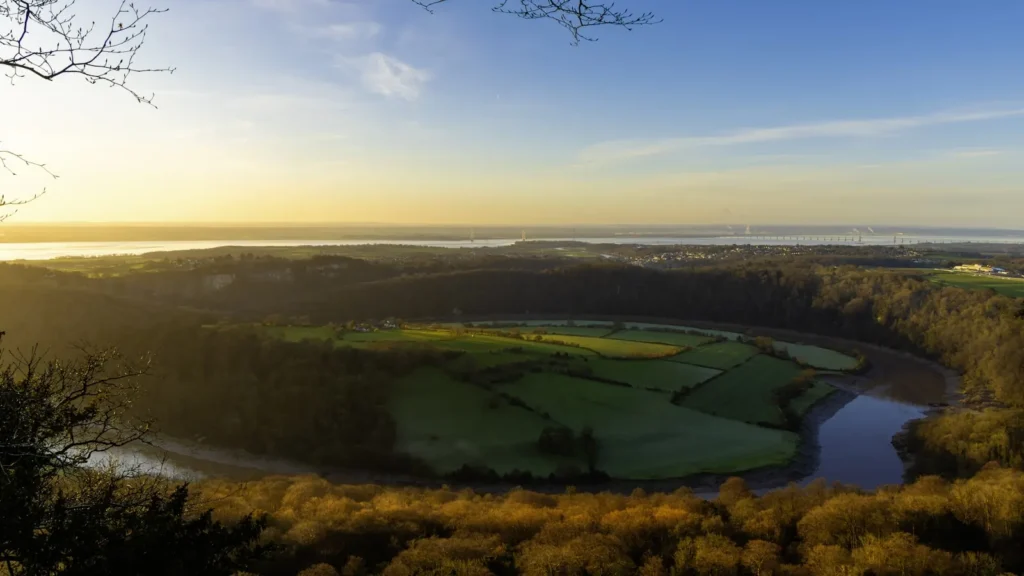
The photo at the top of this page is not St. Croix River.
It is a regional stand-in, honestly captioned but generic — we will not put a name to a river we cannot prove. Send us a photograph you took here and it replaces the stand-in, with your credit on it.
Pioneer badgeUnclaimed
Add a photo of this water
Landscape, not fish — the water itself. Reviewed by hand before it appears. The first one published here earns the Pioneer badge.
Fished this water? Add a photo
Reviewed by hand before it appears. Pick the water, not the spot — we never publish exact locations.
Access
St. Croix Falls and Taylors Falls: Interstate State Park access at the Dalles.
Osceola Landing: the standard upper river ramp below the falls.
William O'Brien State Park: Minnesota park access with camping and a landing.
Marine on St. Croix and Log House Landing: quiet mid-river accesses.
Stillwater: town ramps near the gauge at the head of Lake St. Croix.
Bayport, Hudson and Prescott: lower lake ramps toward the Mississippi confluence.
Seasons
April and May: pre-spawn smallmouth and walleye, high cold water; check current season dates.
June through August: the main season, topwater smallmouth in the upper river, musky in the lower.
September and October: the best smallmouth month and the start of prime musky fishing.
November through March: musky and walleye until ice, then ice fishing on the lower lake.
From the water
No logged trips yet. Be the first to put this water on your map.
Log this water
Fished it or cleaned it? Log in or create a free account to log a trip with photos and earn the waterway badge.
Questions
What is the current flow on the St. Croix River?
As of Oct 19, 3:15 am, the USGS gauge ST. CROIX RIVER AT STILLWATER, MN reads 2,400 cfs, the 19th percentile for this date, with water temperature 53.8 F. Conditions update every 15 minutes.
What species can you catch on the St. Croix River?
Anglers target Channel Catfish, Lake Sturgeon, Muskellunge, Northern Pike, Smallmouth Bass, Walleye on the St. Croix River in Minnesota.
Are there fishing guides on the St. Croix River?
GuidedFloats lists 1 guide and outfitters on the St. Croix River. Claimed profiles accept booking requests; unclaimed profiles are built from public records and link to the business.
Where can you access the St. Croix River?
St. Croix Falls and Taylors Falls: Interstate State Park access at the Dalles. Osceola Landing: the standard upper river ramp below the falls. William O'Brien State Park: Minnesota park access with camping and a landing. Marine on St. Croix and Log House Landing: quiet mid-river accesses. Stillwater: town ramps near the gauge at the head of Lake St. Croix. Bayport, Hudson and Prescott: lower lake ramps toward the Mississippi confluence.
When is the best time to fish the St. Croix River?
April and May: pre-spawn smallmouth and walleye, high cold water; check current season dates. June through August: the main season, topwater smallmouth in the upper river, musky in the lower. September and October: the best smallmouth month and the start of prime musky fishing. November through March: musky and walleye until ice, then ice fishing on the lower lake.
Where are the fishing regulations for the St. Croix River?
Regulations change by season and section. Read the current rules on the Minnesota agency site: https://www.dnr.state.mn.us/regulations/fishing/index.html