White Earth Lake Fishing Guides
A prairie lake in the White Earth Valley of Mountrail County with two hundred and fifty-seven square miles of coulee drainage behind it, gauged for stage, elevation and rainfall.
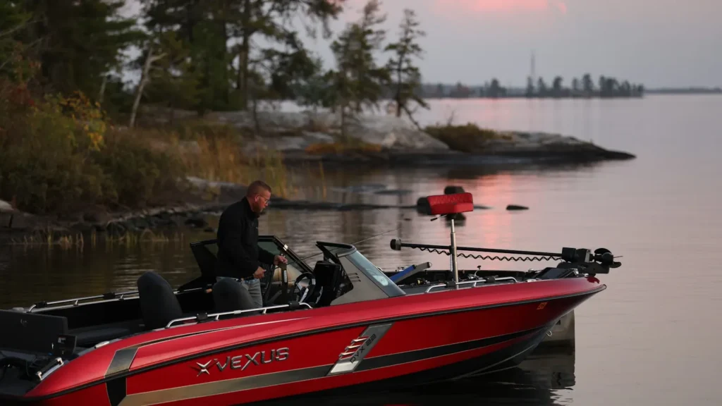
Guides on the White Earth Lake
Claimed profiles take booking requests. Unclaimed profiles are built from public records so the river is never empty; the guide can claim or remove one any time.
No guides listed yet
Guide or outfit this water? Create your profile. Listing is free, the commission is 10% or 7% with a premium profile, and premium profiles list first on this water.
About the White Earth Lake
White Earth Lake sits in the White Earth Valley of Mountrail County in the northwest corner of North Dakota, north of the Lake Sakakawea reach of the Missouri. Two hundred and fifty-seven square miles of coulee and prairie drain into it. The gauge reads lake stage, water surface elevation and rainfall, which together are the numbers that matter most on a prairie lake, because water level on these waters is not stable from year to year and a low cycle changes both the fishing and where you can launch.
This is glaciated prairie country, and the lake has the shape that goes with it. The basin is shallow to moderate, the shoreline is a mixture of low bluff and marsh, and the bottom is soft over much of the area with harder points and rock where the valley walls come down to the water. Wind is the dominant variable in summer and can make the lake unfishable from a small boat in an afternoon; the stage reading will not tell you that, so a forecast is as important as the gauge.
Walleye and northern pike are the principal fish and the reason most anglers make the drive. Yellow perch are abundant and run to good size in the right years, which matters more here than almost anywhere because perch are the winter fishery. Black crappie, bluegill and white bass are present in varying numbers, and carp, bullhead and drum fill in behind them.
Fishing pressure is light compared with the Devils Lake and Sakakawea waters that draw the crowds, and that is much of the appeal. Services in the immediate area are limited, so plan the trip around the nearest towns rather than the lakeshore.
This water needs a real photo
The photo at the top of this page is not White Earth Lake.
It is a regional stand-in, honestly captioned but generic — we will not put a name to a river we cannot prove. Send us a photograph you took here and it replaces the stand-in, with your credit on it.
Add a photo of this water
Landscape, not fish — the water itself. Reviewed by hand before it appears. The first one published here earns the Pioneer badge.
Pool right now
- 24 hours+0.03 ft → steady
Reading taken 2h ago at USGS 06331885, WHITE EARTH LAKE NEAR WHITE EARTH, ND. Elevation is the surface of the lake above the survey datum, not depth. Source.
Fished this water? Add a photo
Reviewed by hand before it appears. Pick the water, not the spot — we never publish exact locations.
Access
White Earth - the small community the lake is named for, immediately adjacent.
Stanley - the Mountrail County seat to the south, with fuel, food, lodging and tackle.
Tioga - the nearest town to the north, with services and lodging.
Lake Sakakawea - the large Missouri River reservoir to the south, with numerous developed ramps.
New Town - a regional centre on Sakakawea with guides, marine supply and accommodation.
Lewis and Clark State Park - a developed park on the reservoir with camping and a ramp.
Williston - the nearest city of size to the west, with full services.
Seasons
Spring: walleye and pike are shallow and aggressive after ice-out, and this is the most productive open-water window.
Summer: fish move deeper and the wind governs the day, with early mornings the reliable option.
Fall: walleye feed hard before freeze-up and pike move back onto the shallow weed edges.
Winter: hard water is the main event, with perch and walleye through the ice and access far easier than in open water.
From the water
No logged trips yet. Be the first to put this water on your map.
Log this water
Fished it or cleaned it? Log in or create a free account to log a trip with photos and earn the waterway badge.
Questions
What species can you catch on the White Earth Lake?
Anglers target Black Crappie, Bluegill, Bullhead, Common Carp, Freshwater Drum, Northern Pike, Walleye, White Bass, Yellow Perch on the White Earth Lake in North Dakota.
Where can you access the White Earth Lake?
White Earth - the small community the lake is named for, immediately adjacent. Stanley - the Mountrail County seat to the south, with fuel, food, lodging and tackle. Tioga - the nearest town to the north, with services and lodging. Lake Sakakawea - the large Missouri River reservoir to the south, with numerous developed ramps. New Town - a regional centre on Sakakawea with guides, marine supply and accommodation. Lewis and Clark State Park - a developed park on the reservoir with camping and a ramp. Williston - the nearest city of size to the west, with full services.
When is the best time to fish the White Earth Lake?
Spring: walleye and pike are shallow and aggressive after ice-out, and this is the most productive open-water window. Summer: fish move deeper and the wind governs the day, with early mornings the reliable option. Fall: walleye feed hard before freeze-up and pike move back onto the shallow weed edges. Winter: hard water is the main event, with perch and walleye through the ice and access far easier than in open water.
Where are the fishing regulations for the White Earth Lake?
Regulations change by season and section. Read the current rules on the North Dakota agency site: https://gf.nd.gov/fishing