Wainiha River Fishing Guides
A short, steep north shore Kauai river draining some of the wettest country on earth, valued for its native stream life and its valley rather than as a sport fishery.
Guides on the Wainiha River
Claimed profiles take booking requests. Unclaimed profiles are built from public records so the river is never empty; the guide can claim or remove one any time.
No guides listed yet
Guide or outfit this water? Create your profile. Listing is free, the commission is 10% or 7% with a premium profile, and premium profiles list first on this water.
About the Wainiha River
The Wainiha River drains one of the wettest places on earth. It runs off the flanks of Mount Waialeale and the Alakai plateau down a steep, narrow valley on the north shore of Kauai, reaching the sea between Hanalei and Haena, and the valley it has cut is among the most dramatic on the island. Annual rainfall in its headwaters is measured in hundreds of inches, and the river responds accordingly: levels rise and fall fast, and a clear river in the morning can be brown and dangerous by the afternoon.
It is not a conventional fishing destination and it would be dishonest to present it as one. The Wainiha is first of all a native stream, and the fish that define it are the oopu, the endemic gobies that climb waterfalls to reach the upper valley, along with native shrimp and snails. These are culturally important, in places protected, and not a sport fishery. Introduced species occur in the lower river and the estuary, where tilapia are common and bass and bluegill turn up in the slower water near the mouth.
What draws visitors is the valley and the water itself. The lower river and its mouth are used for paddling and swimming when conditions allow, the beach at the mouth is well known, and guided activity along this coast is built around the landscape rather than around a catch. Much of the upper valley is remote, roadless and held in conservation and private hands, and it should be treated accordingly by anyone heading inland.
Anyone going near this water should watch the gauge and the sky together. The river reads discharge and stage but no temperature, and the numbers move quickly. Flash flooding is the real hazard on Kauai’s north shore streams, the same rain that feeds the river also closes the highway west of Hanalei on a regular basis, and local advice on current conditions is worth a great deal more here than any forecast.
This water needs a real photo
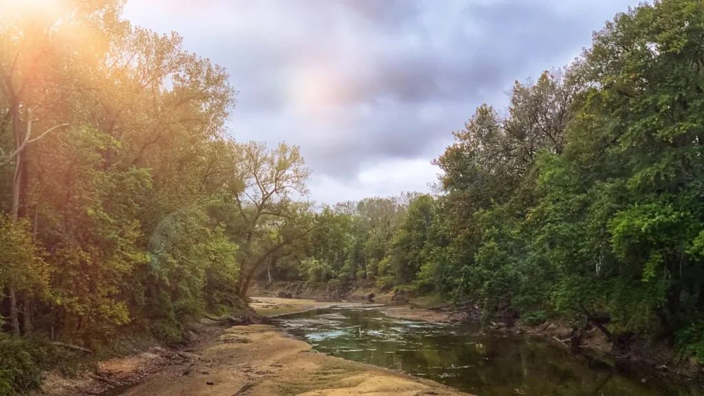
The photo at the top of this page is not Wainiha River.
It is a regional stand-in, honestly captioned but generic — we will not put a name to a river we cannot prove. Send us a photograph you took here and it replaces the stand-in, with your credit on it.
Add a photo of this water
Landscape, not fish — the water itself. Reviewed by hand before it appears. The first one published here earns the Pioneer badge.
Fished this water? Add a photo
Reviewed by hand before it appears. Pick the water, not the spot — we never publish exact locations.
Access
Hanalei - the north shore town east of the valley, with services, lodging and outfitters.
Haena - the community west toward the end of the road, and the nearest coastal landmark.
Wainiha Bay - the river mouth and beach, and the most accessible part of the river.
Kuhio Highway - the coast road, which floods and closes west of Hanalei after heavy rain.
Haena State Park - the developed park at the end of the road, with a reservation system.
Alakai plateau - the high wet country feeding the river, and the source of its flash floods.
Princeville - the resort area east of Hanalei, with the closest full services.
Seasons
Spring: heavy rain continues on the north shore, with the river frequently high and coloured.
Summer: the driest and most settled stretch, and the only dependable window for time on the water.
Fall: rain increases again and levels become unpredictable from one day to the next.
Winter: the wettest season, with flash flooding, road closures and hazardous conditions throughout.
From the water
No logged trips yet. Be the first to put this water on your map.
Log this water
Fished it or cleaned it? Log in or create a free account to log a trip with photos and earn the waterway badge.
Questions
What is the current flow on the Wainiha River?
As of Oct 18, 5:30 pm, the USGS gauge Wainiha River nr Hanalei, Kauai, HI reads 131 cfs. Conditions update every 15 minutes.
What species can you catch on the Wainiha River?
Anglers target Bluegill, Largemouth Bass, Tilapia on the Wainiha River in Hawaii.
Where can you access the Wainiha River?
Hanalei - the north shore town east of the valley, with services, lodging and outfitters. Haena - the community west toward the end of the road, and the nearest coastal landmark. Wainiha Bay - the river mouth and beach, and the most accessible part of the river. Kuhio Highway - the coast road, which floods and closes west of Hanalei after heavy rain. Haena State Park - the developed park at the end of the road, with a reservation system. Alakai plateau - the high wet country feeding the river, and the source of its flash floods. Princeville - the resort area east of Hanalei, with the closest f...
When is the best time to fish the Wainiha River?
Spring: heavy rain continues on the north shore, with the river frequently high and coloured. Summer: the driest and most settled stretch, and the only dependable window for time on the water. Fall: rain increases again and levels become unpredictable from one day to the next. Winter: the wettest season, with flash flooding, road closures and hazardous conditions throughout.
Where are the fishing regulations for the Wainiha River?
Regulations change by season and section. Read the current rules on the Hawaii agency site: https://dlnr.hawaii.gov/dar/fishing/fishing-regulations/