East Branch Pemigewasset River Fishing Guides
A White Mountain freestone branch draining the Pemigewasset Wilderness, cold, clear and flashy, with wild brook trout above the road.
Map of the East Branch Pemigewasset River
13 numbered points: 1 access point, 2 campsites, 5 bridges, 2 parks and conservation areas, 1 USGS gauge, 2 points of interest. Tap a marker for details. Reviewed Sep 26, 2026.
- Access / boat ramp (1)
- Campsite (2)
- Bridge crossing (5)
- Park / conservation area (2)
- USGS gauge (1)
- Point of interest (2)
Print it. Bag it. Bring it.Phones die, screens crack, and most of this water has no signal. Print this map, fold it into a zip-top bag or dry bag with your license, and you have a backup your electronics can’t give you. Every marker is numbered so you can say exactly where you are.
Open the printable mapAll 13 points on this map
| # | Point | Type | Lat, Lon | Notes |
|---|---|---|---|---|
| 1 | Stillwater Junction Wilderness trail junction, Lincoln | Point of interest | 44.12108, -71.46793 | Trail junction deep in the Pemigewasset Wilderness at the head of the mapped reach; a long walk in from any road, with no vehicle access above this point. |
| 2 | Black Brook Trestle Old logging railroad grade, now the Wilderness Trail | Bridge crossing | 44.11106, -71.53678 | Trestle on the abandoned East Branch and Lincoln logging railroad grade that the Wilderness Trail follows along the river. |
| 3 | Franconia Brook Tentsite White Mountain National Forest | Campsite | 44.10012, -71.57149 | The established backcountry tentsite on the upper East Branch, at the Franconia Brook confluence roughly 4.5 km up the Lincoln Woods Trail from the highway. |
| 4 | Lincoln Woods Trailhead footbridge Kancamagus Highway, White Mountain National Forest | Access / boat ramp | 44.06443, -71.58835 | Suspension footbridge at the Lincoln Woods parking area and visitor centre, the walking entry to the whole upper river. Three more trail footbridges upstream carry the same Lincoln Woods Trail name in OSM and are not repeated. |
| 5 | Kancamagus Highway bridge NH 112, Lincoln | Bridge crossing | 44.06387, -71.58997 | The road crossing at Lincoln Woods, immediately below the footbridge, and the last vehicle crossing above the Lincoln village reach. |
| 6 | Hancock Campground US Forest Service, Kancamagus Highway | Campsite | 44.06406, -71.59586 | Forest Service campground on the river just west of Lincoln Woods; seasonal, and the nearest drive-in camping to the upper reach. |
| 7 | Rachel Adams Memorial Forest Society for the Protection of New Hampshire Forests | Park / conservation area | 44.05086, -71.66637 | Conservation forest set back about 0.6 km from the north bank in Lincoln; walk-in only, with no river frontage road. |
| 8 | Richard F. Cooper Memorial Bridge Lincoln village street crossing | Bridge crossing | 44.04206, -71.66439 | Named town bridge over the East Branch in Lincoln. |
| 9 | Interstate 93 bridges Styles Bridges Highway, twin spans | Bridge crossing | 44.03124, -71.67794 | Twin I-93 spans over the East Branch above the confluence; the pair is mapped here as one crossing. |
| 10 | Granite State Railway bridge Plymouth and Lincoln Railroad, North Woodstock | Bridge crossing | 44.03011, -71.67971 | Excursion railroad bridge, the last crossing before the East Branch meets the Pemigewasset. |
| 11 | Fay State Forest NH Division of Forests and Lands | Park / conservation area | 44.03591, -71.68591 | State forest on the high ground north of the river at North Woodstock, about 0.8 km back from the bank. |
| 12 | Confluence with the Pemigewasset River North Woodstock | Point of interest | 44.03051, -71.67900 | The East Branch ends here at the Pemigewasset main stem. Point taken from the downstream end of the chained OSM centreline; the parks and the family park access just west of it sit on the main stem, not on this water. |
| 13 | USGS gauge 01074520, East Branch Pemigewasset at Lincoln Real-time stage and discharge | USGS gauge | 44.04757, -71.65980 | The gauge this water page links to; coordinates taken from the site roster rather than typed by hand. |
Guides on the East Branch Pemigewasset River
Claimed profiles take booking requests. Unclaimed profiles are built from public records so the river is never empty; the guide can claim or remove one any time.
No guides listed yet
Guide or outfit this water? Create your profile. Listing is free, the commission is 10% or 7% with a premium profile, and premium profiles list first on this water.
About the East Branch Pemigewasset River
The East Branch of the Pemigewasset River drains the Pemigewasset Wilderness, one of the largest roadless areas in the White Mountains, and meets the main stem at Lincoln in Grafton County. It is freestone water in the purest sense: granite bed, no meaningful groundwater buffering, a steep catchment holding deep snow into spring, and a hydrograph that reflects all of that with very little smoothing. The river runs over ledge and boulder through a series of pools, pocket water and short gorges, and it is strikingly clear when it is low.
The gauge at Lincoln reports discharge and stage, and both swing hard. Snowmelt and rain move this river quickly and dramatically, and it can go from low and wadeable to dangerous in a matter of hours during a spring melt or after a summer thunderstorm over the notch. Equally, it drops back fast once the weather passes. In a dry August it can run genuinely thin, concentrating the fish in the deeper pools and demanding a much more careful approach. Checking the gauge before driving into the notch is a safety matter here as much as a fishing one.
Wild brook trout are the heart of the fishery and are found throughout, running small as they do in acidic freestone water but present in good numbers and beautifully coloured. Rainbows and browns appear in the lower reaches near Lincoln where stocking supports the accessible water. Landlocked salmon move up from the main stem system seasonally. The real quality of the place is the walking: the Wilderness trail network follows the river for miles above the road, and anglers prepared to hike well beyond the trailhead find water that sees very little pressure. Everything above the trailhead is fished on foot.
This water needs a real photo
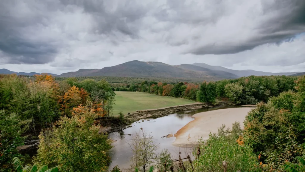
The photo at the top of this page is not East Branch Pemigewasset River.
It is a regional stand-in, honestly captioned but generic — we will not put a name to a river we cannot prove. Send us a photograph you took here and it replaces the stand-in, with your credit on it.
Add a photo of this water
Landscape, not fish — the water itself. Reviewed by hand before it appears. The first one published here earns the Pioneer badge.
Fished this water? Add a photo
Reviewed by hand before it appears. Pick the water, not the spot — we never publish exact locations.
Access
Lincoln - the town at the confluence, with lodging, food, fuel, tackle and the gauge reference point.
Lincoln Woods Trailhead - the main access to the river above the road, with parking and the trail along the bank.
Pemigewasset Wilderness - the roadless country upstream, offering miles of lightly fished water on foot.
North Woodstock - just south, with further lodging, restaurants and services.
Pemigewasset River - the main stem below the confluence, a larger and more accessible trout river.
Franconia Notch - north, with Echo Lake, Profile Lake and the Lafayette trail network.
Loon Mountain - at Lincoln, the local resort with lodging and services through the year.
Seasons
Spring: high, cold and often dangerous with snowmelt, fishable only as the flows begin to settle late in the season.
Summer: the main season, low and clear and ideal for wading, with the best fishing well above the trailhead.
Fall: excellent, with brook trout in full colour and the notch at its most spectacular before the cold sets in.
Winter: snowbound and closed to practical fishing, with access limited to the plowed road corridor.
From the water
No logged trips yet. Be the first to put this water on your map.
Log this water
Fished it or cleaned it? Log in or create a free account to log a trip with photos and earn the waterway badge.
Questions
What is the current flow on the East Branch Pemigewasset River?
As of Oct 18, 5:15 pm, the USGS gauge EAST BRANCH PEMIGEWASSET RIVER AT LINCOLN, NH reads 169 cfs. Conditions update every 15 minutes.
What species can you catch on the East Branch Pemigewasset River?
Anglers target Brook Trout, Brown Trout, Creek Chub, Fallfish, Landlocked Salmon, Rainbow Trout, White Sucker on the East Branch Pemigewasset River in New Hampshire.
Where can you access the East Branch Pemigewasset River?
Lincoln - the town at the confluence, with lodging, food, fuel, tackle and the gauge reference point. Lincoln Woods Trailhead - the main access to the river above the road, with parking and the trail along the bank. Pemigewasset Wilderness - the roadless country upstream, offering miles of lightly fished water on foot. North Woodstock - just south, with further lodging, restaurants and services. Pemigewasset River - the main stem below the confluence, a larger and more accessible trout river. Franconia Notch - north, with Echo Lake, Profile Lake and the Lafayette trail network. Loon Mountain -...
When is the best time to fish the East Branch Pemigewasset River?
Spring: high, cold and often dangerous with snowmelt, fishable only as the flows begin to settle late in the season. Summer: the main season, low and clear and ideal for wading, with the best fishing well above the trailhead. Fall: excellent, with brook trout in full colour and the notch at its most spectacular before the cold sets in. Winter: snowbound and closed to practical fishing, with access limited to the plowed road corridor.
Where are the fishing regulations for the East Branch Pemigewasset River?
Regulations change by season and section. Read the current rules on the New Hampshire agency site: https://www.wildlife.nh.gov/fishing-new-hampshire/fishing-rules-and-regulations