Daddys Creek Fishing Guides
A Cumberland Plateau gorge creek in the Obed system, famous among whitewater boaters for a short high-water window and fished for smallmouth and rock bass when the level drops.
Guides on the Daddys Creek
Claimed profiles take booking requests. Unclaimed profiles are built from public records so the river is never empty; the guide can claim or remove one any time.
No guides listed yet
Guide or outfit this water? Create your profile. Listing is free, the commission is 10% or 7% with a premium profile, and premium profiles list first on this water.
About the Daddys Creek
Daddys Creek is one of the four streams that make up the Obed Wild and Scenic River system on the Cumberland Plateau, and among paddlers it has a reputation that far exceeds its size. It cuts a sandstone gorge northwest of Crossville, drops through a series of ledges and boulder gardens, and then joins the Obed above its confluence with the Emory. The water is tea-coloured and acidic, stained by the plateau’s hemlock and rhododendron, and the gorge walls are high enough that the creek feels remote within a few hundred yards of any road crossing.
Everything here depends on flow, and the gauge near Hebbertsburg is the number that plateau boaters watch through the winter and spring. This is a rain-fed creek with almost no groundwater contribution, so it comes up hard after a storm and falls away within a day or two. The whitewater window is short and mostly a December-to-April affair. The gauge also reports water temperature, which is genuinely useful here because the creek runs cold in the gorge shade well into the spring and warms quickly once summer low flow sets in.
Fishing is a summer and fall pursuit, done on foot, and it rewards anglers willing to walk the gorge. Smallmouth bass hold in the plunge pools below the ledges, rock bass sit tight to the boulders, and redeye bass and longear sunfish fill the smaller water. The plateau’s low-nutrient sandstone geology means fish run small by valley standards, but they are wild, abundant and unpressured. Access is by a handful of bridges and by the National Park Service trails into the gorge, and the walk out is always uphill. Anglers who treat it as a hiking trip with a rod attached rather than a fishing trip with a walk attached tend to enjoy it a great deal more.
This water needs a real photo
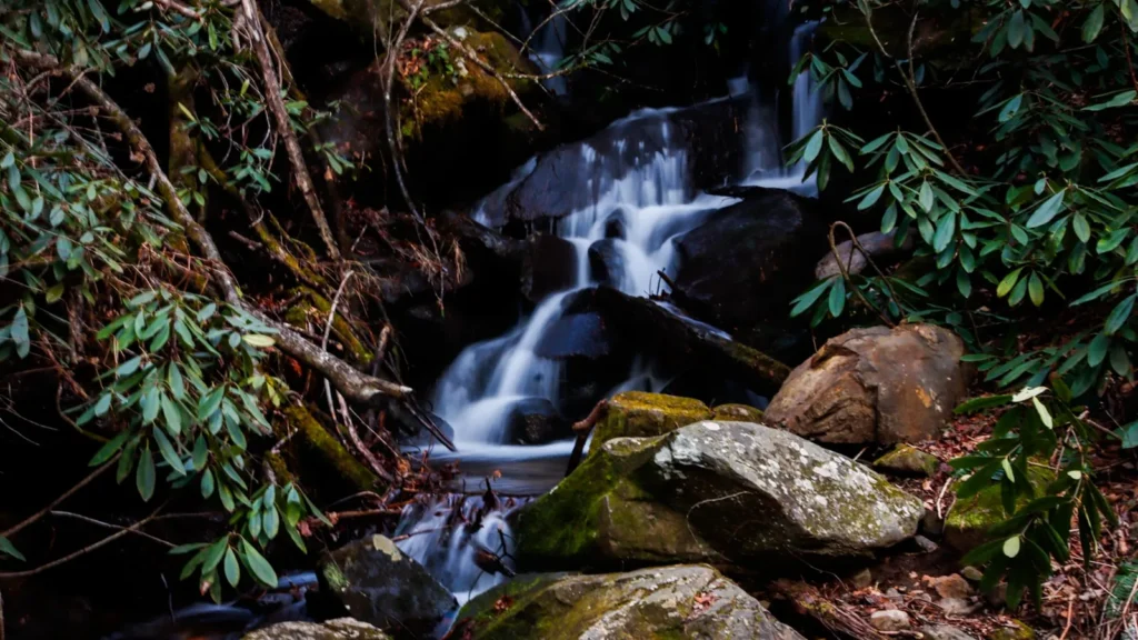
The photo at the top of this page is not Daddys Creek.
It is a regional stand-in, honestly captioned but generic — we will not put a name to a river we cannot prove. Send us a photograph you took here and it replaces the stand-in, with your credit on it.
Add a photo of this water
Landscape, not fish — the water itself. Reviewed by hand before it appears. The first one published here earns the Pioneer badge.
Fished this water? Add a photo
Reviewed by hand before it appears. Pick the water, not the spot — we never publish exact locations.
Access
Hebbertsburg - the community at the gauge and the usual reference point for plateau flow readings.
Obed Wild and Scenic River - National Park Service access points and trails reach the gorge from several directions.
Crossville - the nearest town of any size, with lodging, fuel and supplies southeast of the creek.
Devils Breakfast Table - the best-known bridge access and put-in on the lower creek.
Antioch Bridge - an upstream crossing that serves the middle gorge.
Wartburg - the Morgan County seat to the east, the base for Obed system trips.
Nemo - the downstream Obed and Emory access, the usual takeout for long plateau runs.
Seasons
Spring: the heart of the paddling season, with the gorge running after every front and the water still cold in the shade.
Summer: low and clear, unrunnable by boat but the best wading and smallmouth fishing of the year in the plunge pools.
Fall: low water continues with cooler temperatures and excellent walking, and the gorge colour is worth the trip on its own.
Winter: the other half of the whitewater season, cold and serious, with rain events bringing the creek up quickly and briefly.
From the water
No logged trips yet. Be the first to put this water on your map.
Log this water
Fished it or cleaned it? Log in or create a free account to log a trip with photos and earn the waterway badge.
Questions
What is the current flow on the Daddys Creek?
As of Oct 18, 5:00 pm, the USGS gauge DADDYS CREEK NEAR HEBBERTSBURG, TN reads 18 cfs. Conditions update every 15 minutes.
What species can you catch on the Daddys Creek?
Anglers target Bluegill, Channel Catfish, Creek Chub, Longear Sunfish, Redeye Bass, Rock Bass, Smallmouth Bass, White Sucker on the Daddys Creek in Tennessee.
Where can you access the Daddys Creek?
Hebbertsburg - the community at the gauge and the usual reference point for plateau flow readings. Obed Wild and Scenic River - National Park Service access points and trails reach the gorge from several directions. Crossville - the nearest town of any size, with lodging, fuel and supplies southeast of the creek. Devils Breakfast Table - the best-known bridge access and put-in on the lower creek. Antioch Bridge - an upstream crossing that serves the middle gorge. Wartburg - the Morgan County seat to the east, the base for Obed system trips. Nemo - the downstream Obed and Emory access, the usua...
When is the best time to fish the Daddys Creek?
Spring: the heart of the paddling season, with the gorge running after every front and the water still cold in the shade. Summer: low and clear, unrunnable by boat but the best wading and smallmouth fishing of the year in the plunge pools. Fall: low water continues with cooler temperatures and excellent walking, and the gorge colour is worth the trip on its own. Winter: the other half of the whitewater season, cold and serious, with rain events bringing the creek up quickly and briefly.
Where are the fishing regulations for the Daddys Creek?
Regulations change by season and section. Read the current rules on the Tennessee agency site: https://www.tn.gov/twra/fishing/fishing-regulations.html