Bitterroot River Fishing Guides
Braided valley river floated from Darby down to Missoula for westslope cutthroat, rainbows and browns, with a skwala stonefly hatch in March and dry-fly fishing through the summer hopper season.
Map of the Bitterroot River
7 numbered points: 5 access points, 1 bait & fly shop, 1 USGS gauge. Tap a marker for details. Reviewed Sep 7, 2026.
- Access / boat ramp (5)
- Bait, tackle & fly shop (1)
- USGS gauge (1)
Print it. Bag it. Bring it.Phones die, screens crack, and most of this water has no signal. Print this map, fold it into a zip-top bag or dry bag with your license, and you have a backup your electronics can’t give you. Every marker is numbered so you can say exactly where you are.
Open the printable mapAll 7 points on this map
| # | Point | Type | Lat, Lon | Notes |
|---|---|---|---|---|
| 1 | Darby Fly Company 808 N Main St, Darby | Bait, tackle & fly shop | 46.02902, -114.17735 | Fly shop at the top of the valley, on the highway beside the river at Darby. |
| 2 | Angler's Roost Montana FWP fishing access site | Access / boat ramp | 46.19893, -114.16943 | First FWP ramp below Darby, on US 93 south of Hamilton. |
| 3 | Woodside Bridge Montana FWP fishing access site | Access / boat ramp | 46.31324, -114.14482 | Bridge access between Hamilton and Corvallis. |
| 4 | Bell Crossing Montana FWP fishing access site | Access / boat ramp | 46.44434, -114.12629 | Mid-valley access near Victor. |
| 5 | Bass Creek Montana FWP fishing access site | Access / boat ramp | 46.56674, -114.10113 | Access on the Stevensville reach, below the Bass Creek confluence. |
| 6 | Chief Looking Glass Montana FWP fishing access site | Access / boat ramp | 46.66165, -114.05355 | FWP directions: 6.5 miles south of Lolo on US 93 to Chief Looking Glass Road, then east 1.0 mile. Campground on site. |
| 7 | USGS 12352500 - Bitterroot River near Missoula USGS streamgage | USGS gauge | 46.83174, -114.05486 | The gauge this water page reads, on the lowest miles of the river above its mouth on the Clark Fork. |
Guides on the Bitterroot River
Claimed profiles take booking requests. Unclaimed profiles are built from public records so the river is never empty; the guide can claim or remove one any time.
About the Bitterroot River
Braided valley river floated from Darby down to Missoula for westslope cutthroat, rainbows and browns, with a skwala stonefly hatch in March and dry-fly fishing through the summer hopper season.
This water needs a real photo
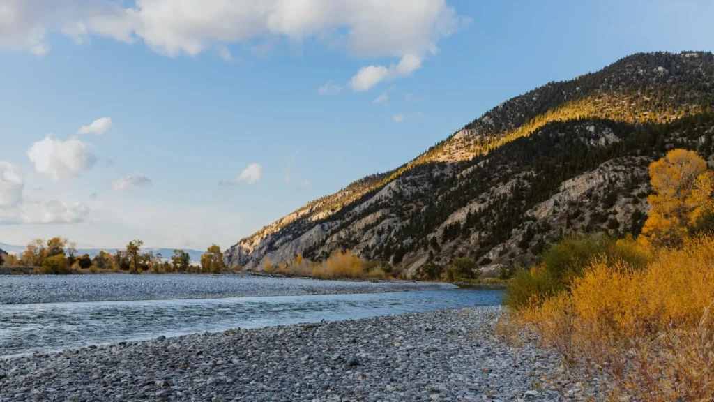
The photo at the top of this page is not Bitterroot River.
It is a regional stand-in, honestly captioned but generic — we will not put a name to a river we cannot prove. Send us a photograph you took here and it replaces the stand-in, with your credit on it.
Add a photo of this water
Landscape, not fish — the water itself. Reviewed by hand before it appears. The first one published here earns the Pioneer badge.
Fished this water? Add a photo
Reviewed by hand before it appears. Pick the water, not the spot — we never publish exact locations.
From the water
No logged trips yet. Be the first to put this water on your map.
Log this water
Fished it or cleaned it? Log in or create a free account to log a trip with photos and earn the waterway badge.
Questions
What is the current flow on the Bitterroot River?
As of Oct 18, 5:00 pm, the USGS gauge Bitterroot River near Missoula MT reads 840 cfs, the 49th percentile for this date. Conditions update every 15 minutes.
What species can you catch on the Bitterroot River?
Anglers target Brown Trout, Mountain Whitefish, Rainbow Trout, Westslope Cutthroat Trout on the Bitterroot River in Montana.
Are there fishing guides on the Bitterroot River?
GuidedFloats lists 2 guides and outfitters on the Bitterroot River. Claimed profiles accept booking requests; unclaimed profiles are built from public records and link to the business.
Where are the fishing regulations for the Bitterroot River?
Regulations change by season and section. Read the current rules on the Montana agency site: https://fwp.mt.gov/fish/regulations