Piru Creek Fishing Guides
A genuine southern California trout tailwater below Santa Felicia Dam, cold enough to hold wild rainbows within an hour of Los Angeles.
Guides on the Piru Creek
Claimed profiles take booking requests. Unclaimed profiles are built from public records so the river is never empty; the guide can claim or remove one any time.
No guides listed yet
Guide or outfit this water? Create your profile. Listing is free, the commission is 10% or 7% with a premium profile, and premium profiles list first on this water.
About the Piru Creek
Southern California is not supposed to have trout water an hour from Los Angeles, which is precisely what makes lower Piru Creek interesting. The creek drains the back side of the Transverse Ranges, is impounded at Lake Piru by Santa Felicia Dam, and below that dam it becomes something genuinely unusual for the region: a cold, regulated, year-round flowing stream in country that is otherwise chaparral and dry wash. The reach below the dam holds wild rainbow trout, is managed under special regulations, and is fished by a small and fairly devoted group of anglers who are willing to hike into a canyon to get at it.
This is a real tailwater and it behaves like one. Releases from Santa Felicia keep water moving and temperatures down through months when every unregulated stream nearby has gone dry or lethal, and the trout are concentrated in the pools, pocket water and undercut banks of the canyon. The fish are not large by Rocky Mountain standards and nobody should come here expecting them to be. What they are is wild, wary and living in a place they have no business being, which is most of the appeal. Below the trout water, as the creek warms toward the Santa Clara River, largemouth and smallmouth bass, channel catfish and bluegill take over. Access requires walking, and the canyon is hot and exposed in summer.
The gauge below the dam publishes discharge, stage and reservoir-related stage, but no water temperature. Read the discharge trace as a release schedule rather than a weather report. A steady flow means the reach is fishable and the trout are distributed normally; a flat trace near zero means releases have stopped and the creek is dropping into disconnected pools, which is both poor fishing and hard on the fish. Check it before driving out.
This water needs a real photo
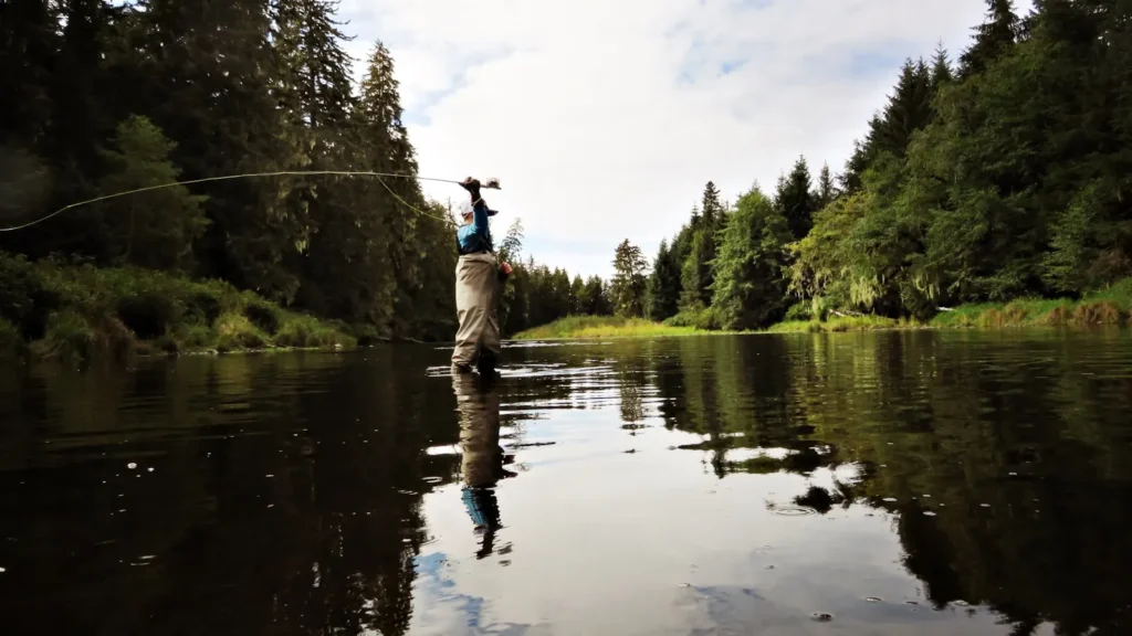
The photo at the top of this page is not Piru Creek.
It is a regional stand-in, honestly captioned but generic — we will not put a name to a river we cannot prove. Send us a photograph you took here and it replaces the stand-in, with your credit on it.
Add a photo of this water
Landscape, not fish — the water itself. Reviewed by hand before it appears. The first one published here earns the Pioneer badge.
Fished this water? Add a photo
Reviewed by hand before it appears. Pick the water, not the spot — we never publish exact locations.
Access
Frenchmans Flat, Highway 5 corridor - the standard walk-in access to the upper canyon.
Santa Felicia Dam outlet area - the top of the regulated reach below Lake Piru.
Lake Piru Recreation Area - developed access to the reservoir and the dam vicinity.
Piru Canyon Road pullouts - roadside access to the middle reach.
Blue Point campground area - access to the canyon water in the national forest.
Route 126 crossing at Piru - bank access on the warmwater lower creek.
Santa Clara River confluence - the lowest access, warmwater species only.
Seasons
Spring: the best flows and the strongest trout fishing of the year in the canyon reach.
Summer: hot and exposed, with fishing early and late and releases determining whether it is worth the walk.
Fall: cooling temperatures and steadier releases make for good conditions again in the canyon.
Winter: cold and often the most reliable flows, with storms occasionally blowing the creek out entirely.
From the water
No logged trips yet. Be the first to put this water on your map.
Log this water
Fished it or cleaned it? Log in or create a free account to log a trip with photos and earn the waterway badge.
Questions
What is the current flow on the Piru Creek?
As of Sep 17, 4:45 am, the USGS gauge PIRU CREEK BELOW SANTA FELICIA DAM CA reads 349 cfs. Conditions update every 15 minutes.
What species can you catch on the Piru Creek?
Anglers target Bluegill, Channel Catfish, Common Carp, Largemouth Bass, Rainbow Trout, Smallmouth Bass on the Piru Creek in California.
Where can you access the Piru Creek?
Frenchmans Flat, Highway 5 corridor - the standard walk-in access to the upper canyon. Santa Felicia Dam outlet area - the top of the regulated reach below Lake Piru. Lake Piru Recreation Area - developed access to the reservoir and the dam vicinity. Piru Canyon Road pullouts - roadside access to the middle reach. Blue Point campground area - access to the canyon water in the national forest. Route 126 crossing at Piru - bank access on the warmwater lower creek. Santa Clara River confluence - the lowest access, warmwater species only.
When is the best time to fish the Piru Creek?
Spring: the best flows and the strongest trout fishing of the year in the canyon reach. Summer: hot and exposed, with fishing early and late and releases determining whether it is worth the walk. Fall: cooling temperatures and steadier releases make for good conditions again in the canyon. Winter: cold and often the most reliable flows, with storms occasionally blowing the creek out entirely.
Where are the fishing regulations for the Piru Creek?
Regulations change by season and section. Read the current rules on the California agency site: https://wildlife.ca.gov/Regulations