Sespe Creek Fishing Guides
One of the last undammed streams in southern California, running wild through a designated wilderness an hour and a half from Los Angeles.
Guides on the Sespe Creek
Claimed profiles take booking requests. Unclaimed profiles are built from public records so the river is never empty; the guide can claim or remove one any time.
No guides listed yet
Guide or outfit this water? Create your profile. Listing is free, the commission is 10% or 7% with a premium profile, and premium profiles list first on this water.
About the Sespe Creek
Sespe Creek is a genuine rarity: a substantial southern California stream with no dam on it anywhere along its length. It rises near Wheeler Springs north of Ojai, runs east and then south through the Sespe Wilderness and the Los Padres National Forest, and joins the Santa Clara River at Fillmore. Roughly thirty miles of it carry federal Wild and Scenic designation. For anglers used to the reservoir-and-tailwater pattern of most southern California water, it is a different proposition entirely – a free-flowing creek behaving the way creeks in this landscape behaved before the twentieth century.
The fish are wild resident rainbow trout, small and beautifully coloured, holding in plunge pools and pocket water among sandstone boulders. Sespe also historically supported southern steelhead, and the creek remains critical habitat for that endangered population, which is a large part of why it has been protected. Anglers must check the current California regulations for this drainage before fishing – closures and gear restrictions apply, and they exist for a reason.
Getting to the good water takes effort. The Sespe Wilderness has no roads, and reaching the middle creek means walking in on trail, often for hours, through chaparral country that gets ferociously hot from late spring onward. Water is the constraint on the trip as much as on the fishing. This is best treated as a spring backpacking proposition rather than a day trip, and the reward is solitude that is genuinely hard to find within a hundred miles of Los Angeles.
The gauge near Wheeler Springs publishes discharge, stage and velocity with no temperature sensor. Flow here is flashy and seasonal – it can roar after a winter storm and drop to disconnected pools by August, and a low reading means exactly that.
This water needs a real photo
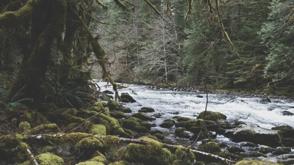
The photo at the top of this page is not Sespe Creek.
It is a regional stand-in, honestly captioned but generic — we will not put a name to a river we cannot prove. Send us a photograph you took here and it replaces the stand-in, with your credit on it.
Add a photo of this water
Landscape, not fish — the water itself. Reviewed by hand before it appears. The first one published here earns the Pioneer badge.
Fished this water? Add a photo
Reviewed by hand before it appears. Pick the water, not the spot — we never publish exact locations.
Access
Piedra Blanca trailhead - the main walk-in access to the upper creek and wilderness.
Rose Valley Recreation Area - forest service access and campgrounds near the headwaters.
Highway 33 crossings above Ojai - roadside access to the upper creek.
Sespe Wilderness trail system - multi-hour walk-in to the middle creek.
Lions Canyon campground - forest service base for upper creek trips.
Fillmore area - access near the Santa Clara River confluence.
Middle Sespe trailhead - alternative walk-in on the middle reach.
Seasons
Spring: the best window - flows are good, the backcountry is green, and the trout are active.
Summer: hot and low, with the creek reduced to disconnected pools in many reaches; travel is punishing.
Fall: cooler and pleasant for walking, but flows are at their annual minimum.
Winter: storms bring the creek up hard and fast; access roads and trails are frequently impassable.
From the water
No logged trips yet. Be the first to put this water on your map.
Log this water
Fished it or cleaned it? Log in or create a free account to log a trip with photos and earn the waterway badge.
Questions
What is the current flow on the Sespe Creek?
As of Sep 17, 4:40 am, the USGS gauge SESPE CREEK NEAR WHEELER SPRINGS CA reads 1 cfs. Conditions update every 15 minutes.
What species can you catch on the Sespe Creek?
Anglers target Rainbow Trout, Sacramento Sucker on the Sespe Creek in California.
Where can you access the Sespe Creek?
Piedra Blanca trailhead - the main walk-in access to the upper creek and wilderness. Rose Valley Recreation Area - forest service access and campgrounds near the headwaters. Highway 33 crossings above Ojai - roadside access to the upper creek. Sespe Wilderness trail system - multi-hour walk-in to the middle creek. Lions Canyon campground - forest service base for upper creek trips. Fillmore area - access near the Santa Clara River confluence. Middle Sespe trailhead - alternative walk-in on the middle reach.
When is the best time to fish the Sespe Creek?
Spring: the best window - flows are good, the backcountry is green, and the trout are active. Summer: hot and low, with the creek reduced to disconnected pools in many reaches; travel is punishing. Fall: cooler and pleasant for walking, but flows are at their annual minimum. Winter: storms bring the creek up hard and fast; access roads and trails are frequently impassable.
Where are the fishing regulations for the Sespe Creek?
Regulations change by season and section. Read the current rules on the California agency site: https://wildlife.ca.gov/Regulations