Mattapoisett Harbor Fishing Guides
An inner Buzzards Bay harbour with genuine shore access at Neds Point Light, a continuous water quality gauge, and striped bass from early May through the autumn run.
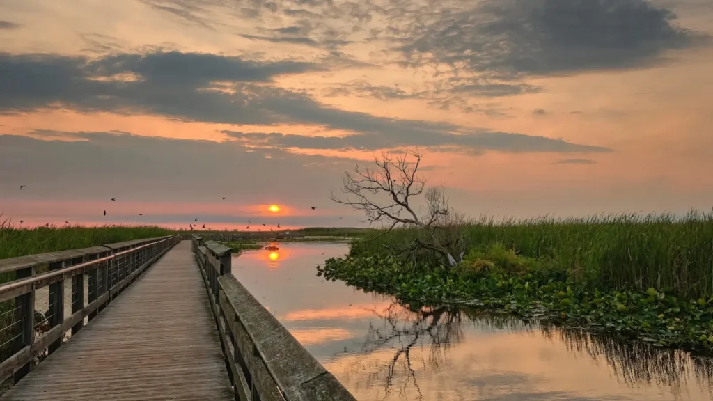
Guides on the Mattapoisett Harbor
Claimed profiles take booking requests. Unclaimed profiles are built from public records so the river is never empty; the guide can claim or remove one any time.
No guides listed yet
Guide or outfit this water? Create your profile. Listing is free, the commission is 10% or 7% with a premium profile, and premium profiles list first on this water.
About the Mattapoisett Harbor
Mattapoisett Harbour opens onto the inner end of Buzzards Bay, on the stretch of the Massachusetts south coast between New Bedford and the Cape Cod Canal. It is a working and recreational harbour rather than a wild estuary, but the structure around it, ledges, points and islands within easy running distance, makes it one of the more productive small harbours on this shoreline. The gauge off Neds Point runs a full water quality suite, so water temperature here is measured rather than inferred.
Striped bass set the calendar. The first fish appear in early May, often in the Mattapoisett River before they settle onto the deeper structure outside, and by June the harbour and the ledges beyond it are holding bass through the season. The trigger that matters most is menhaden. When schools of adult pogies push into the harbour, the fishing changes character entirely and the largest bass of the year are usually taken on or under them.
Around the bass there is an unusually broad mixed fishery. Bluefish arrive in the middle of May, black sea bass are abundant from late May, and the June scup run here produces genuinely large fish. Tautog fish well in spring and then again from October to Thanksgiving, which extends the season well past the point most inshore fishing has finished. Summer flounder are available through the warm months, and false albacore and bonito show in some years from late August into September.
Neds Point is the piece worth knowing about. Officially Veterans of Mattapoisett Memorial Park, it is a four-acre town park around an 1838 stone lighthouse, and the rocks below it give real shore access to spring stripers, which is unusual for a lighthouse park. Boats launch from the town wharf and run to Angelica Point, Mattapoisett Ledge, Ram Island and the Cleveland Ledge area. A Massachusetts saltwater permit is required.
This water needs a real photo
The photo at the top of this page is not Mattapoisett Harbor.
It is a regional stand-in, honestly captioned but generic — we will not put a name to a river we cannot prove. Send us a photograph you took here and it replaces the stand-in, with your credit on it.
Add a photo of this water
Landscape, not fish — the water itself. Reviewed by hand before it appears. The first one published here earns the Pioneer badge.
Fished this water? Add a photo
Reviewed by hand before it appears. Pick the water, not the spot — we never publish exact locations.
Access
Neds Point - the town park and 1838 lighthouse, with casting from the rocks and a small beach kayak launch.
Mattapoisett Town Wharf - the trailer launch and the usual departure point for boats heading offshore.
Angelica Point - a named point just east of the harbour that holds bass on moving water.
Mattapoisett Ledge - nearby structure worked by boat for bass and bluefish.
Ram Island - an island mark within easy running distance, productive on the tide.
Cleveland Ledge - the well known ledge toward the canal end of the bay, a standard autumn tautog spot.
Mattapoisett village - tackle, food, fuel and lodging within a few minutes of the wharf.
Seasons
Spring: stripers arrive in early May and bluefish follow mid-month, with tautog fishing well before the water warms.
Summer: sea bass, scup and fluke fill the days while the harbour itself slows, so the islands and night tides fish best.
Fall: the strongest stretch, with the bass run, tautog from October to Thanksgiving and albies in some years.
Winter: the fishery closes down and the harbour is quiet, with the gauge still recording through the cold months.
From the water
No logged trips yet. Be the first to put this water on your map.
Log this water
Fished it or cleaned it? Log in or create a free account to log a trip with photos and earn the waterway badge.
Questions
What species can you catch on the Mattapoisett Harbor?
Anglers target Atlantic Menhaden, Black Sea Bass, Bluefish, Bonito, False Albacore, Scup, Striped Bass, Summer Flounder, Tautog, Weakfish on the Mattapoisett Harbor in Massachusetts.
Where can you access the Mattapoisett Harbor?
Neds Point - the town park and 1838 lighthouse, with casting from the rocks and a small beach kayak launch. Mattapoisett Town Wharf - the trailer launch and the usual departure point for boats heading offshore. Angelica Point - a named point just east of the harbour that holds bass on moving water. Mattapoisett Ledge - nearby structure worked by boat for bass and bluefish. Ram Island - an island mark within easy running distance, productive on the tide. Cleveland Ledge - the well known ledge toward the canal end of the bay, a standard autumn tautog spot. Mattapoisett village - tackle, food, fu...
When is the best time to fish the Mattapoisett Harbor?
Spring: stripers arrive in early May and bluefish follow mid-month, with tautog fishing well before the water warms. Summer: sea bass, scup and fluke fill the days while the harbour itself slows, so the islands and night tides fish best. Fall: the strongest stretch, with the bass run, tautog from October to Thanksgiving and albies in some years. Winter: the fishery closes down and the harbour is quiet, with the gauge still recording through the cold months.
Where are the fishing regulations for the Mattapoisett Harbor?
Regulations change by season and section. Read the current rules on the Massachusetts agency site: https://www.mass.gov/recreational-saltwater-fishing