Dry Lake Fishing Guides
A closed-basin prairie lake in the Devils Lake chain near Penn, whose name is a warning and whose level has risen enormously since the 1990s.
Guides on the Dry Lake
Claimed profiles take booking requests. Unclaimed profiles are built from public records so the river is never empty; the guide can claim or remove one any time.
No guides listed yet
Guide or outfit this water? Create your profile. Listing is free, the commission is 10% or 7% with a premium profile, and premium profiles list first on this water.
About the Dry Lake
Dry Lake lies in the Devils Lake basin of Ramsey County, and its name is not an accident. This is a closed-basin prairie lake in a landscape with no natural outlet to the sea: water arrives as snowmelt and rain and leaves mainly by evaporation, so the lake level is set by the balance between the two over years rather than days. The lake has been genuinely dry within living memory. Since the early 1990s, a long wet cycle across the basin has raised water levels across the whole Devils Lake chain dramatically, flooding roads and farmland, and Dry Lake has risen and expanded with the rest of it.
That history is the single most important thing for an angler to understand, because it sets both the opportunity and the risk. Rising water flooded terrestrial vegetation and released nutrients, which is exactly the condition that produces explosive fish growth, and the Devils Lake system became a nationally known perch, walleye and pike fishery on the strength of it. Dry Lake shares the water and, when connected, shares the fish. The other side of the same coin is that a closed basin can reverse: a long dry cycle lowers the lake, concentrates salts, and in the worst case winterkills or strands the fishery entirely.
The gauge near Penn reports stage and water-surface elevation, and on this lake that trace is the fishery report. A rising or high elevation means the lake is connected to the broader chain, deep enough to overwinter fish and worth the drive; a falling one means caution. Structure is limited – this is a shallow prairie basin with flooded brush, old fence lines, roadbeds and submerged vegetation rather than rock – and those flooded features are where the fish hold. Access is informal, by county road and gravel approach, and Devils Lake city is the base for everything.
This water needs a real photo
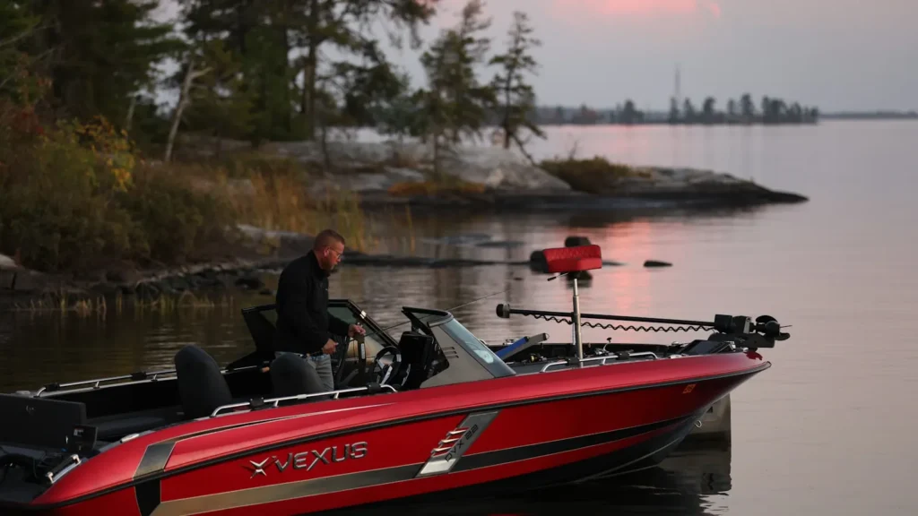
The photo at the top of this page is not Dry Lake.
It is a regional stand-in, honestly captioned but generic — we will not put a name to a river we cannot prove. Send us a photograph you took here and it replaces the stand-in, with your credit on it.
Add a photo of this water
Landscape, not fish — the water itself. Reviewed by hand before it appears. The first one published here earns the Pioneer badge.
Pool right now
- 24 hours0.00 ft → steady
Reading taken 2h ago at USGS 05056241, DRY LAKE NEAR PENN, ND. Elevation is the surface of the lake above the survey datum, not depth. Source.
Fished this water? Add a photo
Reviewed by hand before it appears. Pick the water, not the spot — we never publish exact locations.
Access
Penn - the small Ramsey County community nearest the gauge and the lake. / Devils Lake - the regional city southeast, the base for guides, tackle, lodging and everything else. / Devils Lake proper - the large main lake of the chain, the nationally known fishery next door. / Lake Irvine - a neighbouring basin in the same chain with its own access. / Churchs Ferry - a small town on the western approach to the upper basin. / County road crossings and approaches - the informal gravel access that serves most of this lake. / Grahams Island State Park - the main developed access on Devils Lake, with ramps and camping.
Seasons
Spring: strong fishing as the ice leaves, with pike shallow early and perch and walleye following into the flooded vegetation. / Summer: warm and shallow with good walleye and perch fishing over the flooded structure; wind decides most days on open prairie water. / Fall: cooling water brings the best walleye and pike fishing of the open-water year, and the crowds thin. / Winter: a serious ice fishery for perch, walleye and pike, and for many anglers the main season; watch access and ice conditions carefully.
From the water
No logged trips yet. Be the first to put this water on your map.
Log this water
Fished it or cleaned it? Log in or create a free account to log a trip with photos and earn the waterway badge.
Questions
What species can you catch on the Dry Lake?
Anglers target Black Crappie, Bluegill, Bowfin, Bullhead, Channel Catfish, Common Carp, Freshwater Drum, Goldeye, Largemouth Bass, Northern Pike, Sauger, Walleye, White Bass, Yellow Perch on the Dry Lake in North Dakota.
Where can you access the Dry Lake?
Penn - the small Ramsey County community nearest the gauge and the lake. / Devils Lake - the regional city southeast, the base for guides, tackle, lodging and everything else. / Devils Lake proper - the large main lake of the chain, the nationally known fishery next door. / Lake Irvine - a neighbouring basin in the same chain with its own access. / Churchs Ferry - a small town on the western approach to the upper basin. / County road crossings and approaches - the informal gravel access that serves most of this lake. / Grahams Island State Park - the main developed access on Devils Lake, with...
When is the best time to fish the Dry Lake?
Spring: strong fishing as the ice leaves, with pike shallow early and perch and walleye following into the flooded vegetation. / Summer: warm and shallow with good walleye and perch fishing over the flooded structure; wind decides most days on open prairie water. / Fall: cooling water brings the best walleye and pike fishing of the open-water year, and the crowds thin. / Winter: a serious ice fishery for perch, walleye and pike, and for many anglers the main season; watch access and ice conditions carefully.
Where are the fishing regulations for the Dry Lake?
Regulations change by season and section. Read the current rules on the North Dakota agency site: https://gf.nd.gov/fishing