Morrison Lake Fishing Guides
One of the upper basins in the Devils Lake chain north of Webster, with five hundred and nineteen square miles of closed-basin drainage behind it and a gauge on stage and lake elevation.
Guides on the Morrison Lake
Claimed profiles take booking requests. Unclaimed profiles are built from public records so the river is never empty; the guide can claim or remove one any time.
No guides listed yet
Guide or outfit this water? Create your profile. Listing is free, the commission is 10% or 7% with a premium profile, and premium profiles list first on this water.
About the Morrison Lake
Morrison Lake lies in the upper part of the Devils Lake basin in Ramsey County, one of a chain of prairie lakes that fill and spill into one another as water moves south toward Devils Lake itself. Five hundred and nineteen square miles drain to it. The gauge reads lake stage and water surface elevation, and on this system those readings carry more meaning than they do almost anywhere else, because the Devils Lake basin is a closed basin that has risen dramatically over the past three decades and flooded roads, farmland and whole shorelines in the process.
That history is the thing to understand before fishing here. Water levels are not a seasonal fluctuation on this chain, they are a long trend, and the flooded terrain is what creates the fishery. Drowned trees, submerged fencelines, roadbeds and shelterbelts sit under the surface across large areas and hold fish in a way a natural prairie basin never would. The same structure is a genuine navigation hazard, and a chart and a careful eye matter as much as tackle.
Walleye, northern pike and yellow perch are the fish that draw anglers to this basin, and the Devils Lake system as a whole has a national reputation built on exactly that trio. White bass are abundant in the connected waters and move through the chain. Black crappie, bluegill, drum, carp and bullhead fill out the list.
Access on the upper basins is less developed than on Devils Lake proper, and that is the trade. Fewer boats, less pressure, and a longer walk or drive to a launch. Check current levels and road conditions before committing to a ramp, because the same rising water that built the fishery has closed and reopened approaches across this basin more than once. Local advice from a shop in Devils Lake is worth the stop before heading north.
This water needs a real photo
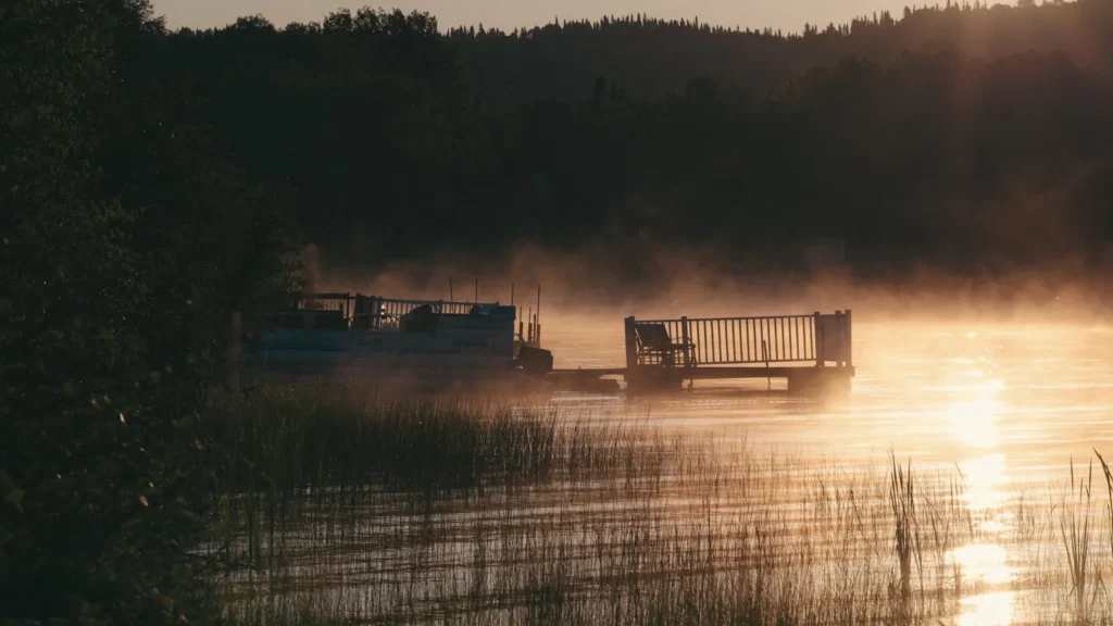
The photo at the top of this page is not Morrison Lake.
It is a regional stand-in, honestly captioned but generic — we will not put a name to a river we cannot prove. Send us a photograph you took here and it replaces the stand-in, with your credit on it.
Add a photo of this water
Landscape, not fish — the water itself. Reviewed by hand before it appears. The first one published here earns the Pioneer badge.
Pool right now
- 24 hours-0.11 ft ↓ falling
Reading taken 2h ago at USGS 05056222, MORRISON LAKE NEAR WEBSTER, ND. Elevation is the surface of the lake above the survey datum, not depth. Source.
Fished this water? Add a photo
Reviewed by hand before it appears. Pick the water, not the spot — we never publish exact locations.
Access
Webster - the nearest community to the south, with basic services.
Devils Lake - the regional centre half an hour south, with guides, tackle, lodging and full services.
Devils Lake proper - the main basin, with numerous developed public ramps.
Grahams Island State Park - a developed park on Devils Lake with camping, cabins and a ramp.
Sweetwater Lake - a connected basin in the same chain with its own access.
Cando - the Towner County seat to the west, with fuel, food and lodging.
Spirit Lake Nation waters - adjacent tribal waters with their own separate licensing requirements.
Seasons
Spring: pike are shallow immediately after ice-out and walleye follow onto the flooded structure as the water warms.
Summer: walleye hold on the submerged roadbeds and treelines, and perch schools move constantly.
Fall: the strongest walleye window of the open-water year, with big pike on the weed edges.
Winter: the basin is ice fishing country of national reputation, with perch and walleye the targets and house rentals widely available.
From the water
No logged trips yet. Be the first to put this water on your map.
Log this water
Fished it or cleaned it? Log in or create a free account to log a trip with photos and earn the waterway badge.
Questions
What species can you catch on the Morrison Lake?
Anglers target Black Crappie, Bluegill, Bullhead, Common Carp, Freshwater Drum, Northern Pike, Walleye, White Bass, Yellow Perch on the Morrison Lake in North Dakota.
Where can you access the Morrison Lake?
Webster - the nearest community to the south, with basic services. Devils Lake - the regional centre half an hour south, with guides, tackle, lodging and full services. Devils Lake proper - the main basin, with numerous developed public ramps. Grahams Island State Park - a developed park on Devils Lake with camping, cabins and a ramp. Sweetwater Lake - a connected basin in the same chain with its own access. Cando - the Towner County seat to the west, with fuel, food and lodging. Spirit Lake Nation waters - adjacent tribal waters with their own separate licensing requirements.
When is the best time to fish the Morrison Lake?
Spring: pike are shallow immediately after ice-out and walleye follow onto the flooded structure as the water warms. Summer: walleye hold on the submerged roadbeds and treelines, and perch schools move constantly. Fall: the strongest walleye window of the open-water year, with big pike on the weed edges. Winter: the basin is ice fishing country of national reputation, with perch and walleye the targets and house rentals widely available.
Where are the fishing regulations for the Morrison Lake?
Regulations change by season and section. Read the current rules on the North Dakota agency site: https://gf.nd.gov/fishing