Lodgepole Creek Fishing Guides
A long high-plains creek crossing the Nebraska Panhandle at more than four thousand feet, with wild brown trout in the cooler upper reaches and very little angling pressure.
Guides on the Lodgepole Creek
Claimed profiles take booking requests. Unclaimed profiles are built from public records so the river is never empty; the guide can claim or remove one any time.
No guides listed yet
Guide or outfit this water? Create your profile. Listing is free, the commission is 10% or 7% with a premium profile, and premium profiles list first on this water.
About the Lodgepole Creek
Lodgepole Creek runs east out of Wyoming across the Nebraska Panhandle, and at Bushnell in Kimball County it is a modest high-plains creek with an outsized reputation: measured end to end it is often described as the longest creek in the United States, running well over two hundred and fifty miles before it reaches the South Platte. Nothing about it looks remarkable from the bridge. It is a narrow, grassy, cottonwood-lined stream cutting a shallow valley across wheat country at more than four thousand feet.
The creek is a working stream in a dry landscape. Irrigation, groundwater pumping and long stretches of drought all pull on it, and flows through the Nebraska reach can be thin by late summer. It also runs clear and cool through the upper stretches where springs and shaded banks hold temperatures down, and it is those reaches, mostly nearer the Wyoming line, that hold trout and are worth the drive.
Brown trout are the fish worth planning around. They are not numerous and they are not large by mountain standards, but they are wild, they hold under the cut banks and in the pools below the crossings, and they see very little pressure from one season to the next. Rainbows turn up in places. Downstream the creek warms and the fishery shifts toward sunfish, channel catfish and the usual plains mix, and creek chubs and suckers are abundant throughout its length.
Access is the honest difficulty here. Almost all of the valley is private ranch and farm ground, and the practical approach is the road crossings and whatever permission can be arranged locally. Kimball and Bushnell are the service points, and Interstate 80 runs parallel to the creek for much of its Nebraska length, which makes this water both easy to reach and easy to drive straight past. The gauge at Bushnell reads flow, stage and air temperature, but no water temperature.
This water needs a real photo
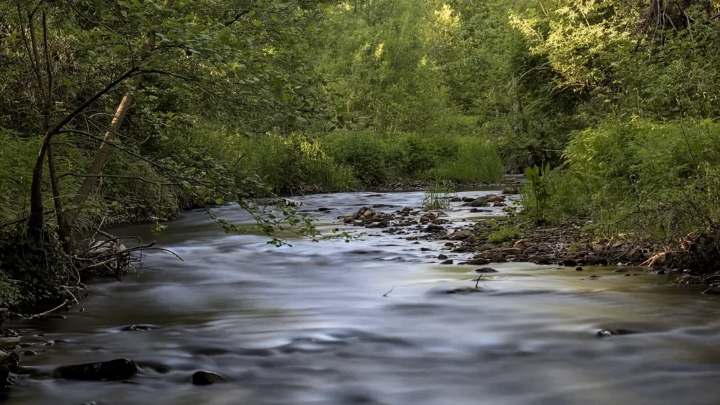
The photo at the top of this page is not Lodgepole Creek.
It is a regional stand-in, honestly captioned but generic — we will not put a name to a river we cannot prove. Send us a photograph you took here and it replaces the stand-in, with your credit on it.
Add a photo of this water
Landscape, not fish — the water itself. Reviewed by hand before it appears. The first one published here earns the Pioneer badge.
Fished this water? Add a photo
Reviewed by hand before it appears. Pick the water, not the spot — we never publish exact locations.
Access
Bushnell - the small Kimball County village at the gauge, and the nearest landmark on the creek.
Kimball - the county seat to the east, with fuel, lodging and local information.
Pine Bluffs - the Wyoming town just over the line, with services and upstream creek access.
Interstate 80 - the highway running the length of the valley, and the reason the creek is easy to reach.
Oliver Reservoir State Recreation Area - the developed water west of Kimball, and a reliable public fallback.
Cheyenne - the Wyoming city an hour west, with tackle shops and outfitters.
County road crossings - the bridges that provide the practical legal access across private ground.
Seasons
Spring: the best flows of the year and the most reliable trout fishing in the upper reaches.
Summer: low and warm through much of the creek, with early mornings and the coolest spring-fed water the only good option.
Fall: cooling temperatures and steadier flows bring a second workable window for brown trout.
Winter: cold, often iced and largely inaccessible, with little reason to make the trip.
From the water
No logged trips yet. Be the first to put this water on your map.
Log this water
Fished it or cleaned it? Log in or create a free account to log a trip with photos and earn the waterway badge.
Questions
What is the current flow on the Lodgepole Creek?
As of Oct 18, 4:45 pm, the USGS gauge Lodgepole Creek at Bushnell, Nebr. reads 1 cfs. Conditions update every 15 minutes.
What species can you catch on the Lodgepole Creek?
Anglers target Brown Trout, Bullhead, Channel Catfish, Common Carp, Creek Chub, Green Sunfish, Largemouth Bass, Rainbow Trout, White Sucker on the Lodgepole Creek in Nebraska.
Where can you access the Lodgepole Creek?
Bushnell - the small Kimball County village at the gauge, and the nearest landmark on the creek. Kimball - the county seat to the east, with fuel, lodging and local information. Pine Bluffs - the Wyoming town just over the line, with services and upstream creek access. Interstate 80 - the highway running the length of the valley, and the reason the creek is easy to reach. Oliver Reservoir State Recreation Area - the developed water west of Kimball, and a reliable public fallback. Cheyenne - the Wyoming city an hour west, with tackle shops and outfitters. County road crossings - the bridges tha...
When is the best time to fish the Lodgepole Creek?
Spring: the best flows of the year and the most reliable trout fishing in the upper reaches. Summer: low and warm through much of the creek, with early mornings and the coolest spring-fed water the only good option. Fall: cooling temperatures and steadier flows bring a second workable window for brown trout. Winter: cold, often iced and largely inaccessible, with little reason to make the trip.
Where are the fishing regulations for the Lodgepole Creek?
Regulations change by season and section. Read the current rules on the Nebraska agency site: https://outdoornebraska.gov/guides-maps/fishing-guides-reports/