Cold River Fishing Guides
A seventy-five square mile freestone stream falling out of the southwestern New Hampshire hills to the Connecticut River, with a gauge at Alstead that reads temperature as well as flow.
Map of the Cold River
7 numbered points: 1 access point, 4 parks and conservation areas, 1 hazard, 1 USGS gauge. Tap a marker for details. Reviewed Sep 26, 2026.
- Access / boat ramp (1)
- Park / conservation area (4)
- Dam / hazard (1)
- USGS gauge (1)
Print it. Bag it. Bring it.Phones die, screens crack, and most of this water has no signal. Print this map, fold it into a zip-top bag or dry bag with your license, and you have a backup your electronics can’t give you. Every marker is numbered so you can say exactly where you are.
Open the printable mapAll 7 points on this map
| # | Point | Type | Lat, Lon | Notes |
|---|---|---|---|---|
| 1 | East Acworth Marshland Town of Acworth | Park / conservation area | 43.23067, -72.23367 | Town conservation marshland on the headwater reach. |
| 2 | Vilas Pool Dam Alstead | Dam / hazard | 43.15387, -72.34838 | Dam forming Vilas Pool on the main stem. |
| 3 | Vilas Pool Park Town of Alstead | Park / conservation area | 43.15315, -72.35485 | Town park at Vilas Pool. |
| 4 | Paper Mill Village Park Town of Alstead | Park / conservation area | 43.14979, -72.36114 | Riverside town park at Paper Mill Village. |
| 5 | USGS streamgauge - Cold River at Drewsville USGS | USGS gauge | 43.14944, -72.36167 | Flow reference for the Cold River. |
| 6 | Drewsville Village Green Walpole | Park / conservation area | 43.12777, -72.39218 | Village green at Drewsville, a short walk from the river. |
| 7 | Connecticut River Access NH Fish and Game | Access / boat ramp | 43.11632, -72.43040 | State boat access on the Connecticut River at the Cold River mouth; the take-out for a Cold River trip. |
Guides on the Cold River
Claimed profiles take booking requests. Unclaimed profiles are built from public records so the river is never empty; the guide can claim or remove one any time.
No guides listed yet
Guide or outfit this water? Create your profile. Listing is free, the commission is 10% or 7% with a premium profile, and premium profiles list first on this water.
About the Cold River
The Cold River drains about seventy-five square miles of the hills of southwestern New Hampshire, gathering above Acworth and falling west through Alstead to meet the Connecticut River at Walpole. It is a freestone stream in the full sense of the term, which is to say that it lives and dies by rainfall and snowmelt rather than by groundwater, and the gauge at Alstead usefully reads water temperature alongside discharge. On a stream of this character the temperature number is the one that tells an angler whether the trip is worth making in July.
The character is boulder, ledge and cobble, with plunge pools in the steeper sections and longer flats where the valley opens. The river carries the marks of the flooding that has hit this valley more than once, and some reaches have rearranged themselves within living memory. That constant rebuilding is not all bad for fishing, because it maintains the pool and riffle structure that trout use, and the exposed ledge creates deep holding water against the bedrock.
Brook trout are native and hold through the cooler upper reaches and the tributaries. Brown trout and rainbow trout are present, with stocking supporting the fishery in the more accessible water. As the river nears the Connecticut the water warms and smallmouth bass appear, giving the lower end an entirely different feel from the headwaters. Fallfish, white sucker and creek chub are abundant and will take a fly intended for something better.
Access is straightforward from the roads that follow the valley, and the river is small enough to wade throughout in normal flows. The village of Alstead sits on it, Keene is close by, and a visiting angler can cover the whole river in a couple of days.
This water needs a real photo
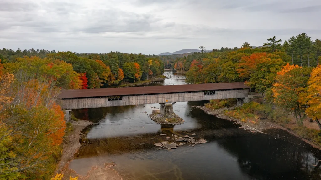
The photo at the top of this page is not Cold River.
It is a regional stand-in, honestly captioned but generic — we will not put a name to a river we cannot prove. Send us a photograph you took here and it replaces the stand-in, with your credit on it.
Add a photo of this water
Landscape, not fish — the water itself. Reviewed by hand before it appears. The first one published here earns the Pioneer badge.
Fished this water? Add a photo
Reviewed by hand before it appears. Pick the water, not the spot — we never publish exact locations.
Access
Alstead - the village at the gauge, the practical base for fishing the middle river.
Walpole - the town at the confluence with the Connecticut River, with food and lodging.
Keene - the regional city a short drive south, with tackle shops and full services.
Route 123 - the road following much of the valley, giving repeated access to the water.
Acworth - the upland village near the headwaters, the approach to the coldest reaches.
Connecticut River - the large river this stream feeds, offering smallmouth and a change of scale.
Ashuelot River - a neighbouring Cheshire County trout stream and a natural second day.
Seasons
Spring: snowmelt and rain bring the river up hard, and once it drops into shape the trout fishing is at its best.
Summer: flows fall away and the temperature reading on the gauge decides the trip, with the upper reaches staying coldest.
Fall: cooler water and autumn rain revive the fishing, and brook trout colour up ahead of spawning.
Winter: the river runs low and ices in the slower reaches, and it is effectively left alone until spring.
From the water
No logged trips yet. Be the first to put this water on your map.
Log this water
Fished it or cleaned it? Log in or create a free account to log a trip with photos and earn the waterway badge.
Questions
What is the current flow on the Cold River?
As of Oct 18, 4:45 pm, the USGS gauge COLD RIVER AT HIGH STREET, AT ALSTEAD, NH reads 31 cfs, with water temperature 49.5 F. Conditions update every 15 minutes.
What species can you catch on the Cold River?
Anglers target Brook Trout, Brown Trout, Creek Chub, Fallfish, Rainbow Trout, Smallmouth Bass, White Sucker on the Cold River in New Hampshire.
Where can you access the Cold River?
Alstead - the village at the gauge, the practical base for fishing the middle river. Walpole - the town at the confluence with the Connecticut River, with food and lodging. Keene - the regional city a short drive south, with tackle shops and full services. Route 123 - the road following much of the valley, giving repeated access to the water. Acworth - the upland village near the headwaters, the approach to the coldest reaches. Connecticut River - the large river this stream feeds, offering smallmouth and a change of scale. Ashuelot River - a neighbouring Cheshire County trout stream and a nat...
When is the best time to fish the Cold River?
Spring: snowmelt and rain bring the river up hard, and once it drops into shape the trout fishing is at its best. Summer: flows fall away and the temperature reading on the gauge decides the trip, with the upper reaches staying coldest. Fall: cooler water and autumn rain revive the fishing, and brook trout colour up ahead of spawning. Winter: the river runs low and ices in the slower reaches, and it is effectively left alone until spring.
Where are the fishing regulations for the Cold River?
Regulations change by season and section. Read the current rules on the New Hampshire agency site: https://www.wildlife.nh.gov/laws-and-rules