Wells River Fishing Guides
A short, steep Vermont tributary running out of Groton State Forest to the Connecticut River, stocked and wild trout throughout.
Guides on the Wells River
Claimed profiles take booking requests. Unclaimed profiles are built from public records so the river is never empty; the guide can claim or remove one any time.
No guides listed yet
Guide or outfit this water? Create your profile. Listing is free, the commission is 10% or 7% with a premium profile, and premium profiles list first on this water.
About the Wells River
The Wells River drains the ponds and hardwood ridges of Groton State Forest and falls east to meet the Connecticut River at the village that shares its name. It is a short river, under twenty miles from the high ground to the confluence, and it loses elevation quickly along the way. That gradient gives it a broken, pocket-water character through the middle reaches, with plunge pools, ledge drops and short runs rather than long flats.
Trout are the whole story. Wild brook trout hold in the upper river and the tributary brooks coming off the state forest, and the state stocks brown and rainbow trout through the more accessible middle and lower water. The mix means an angler can fish small native water in the morning and heavier stocked water near the village in the afternoon without moving far. Smallmouth bass push up from the Connecticut into the lowest reach during warm months.
Route 302 follows the river for most of its length, which makes this one of the easier Vermont trout streams to fish without a long approach. Pull-offs along the highway put an angler within sight of the water at a dozen points, and Groton State Forest provides parking, camping and trail access at the top of the drainage. It is a practical river for a half day when time is short.
The steep profile cuts both ways. The Wells rises fast in rain and drops fast afterward, so a storm that would ruin a week on a larger river often costs only a day here. Midsummer low water can leave the pocket water thin and push fish into the deeper plunge pools and the shaded ledge runs. Spring and early fall are the reliable windows, and the gauge at the village reflects the whole drainage above it.
This water needs a real photo
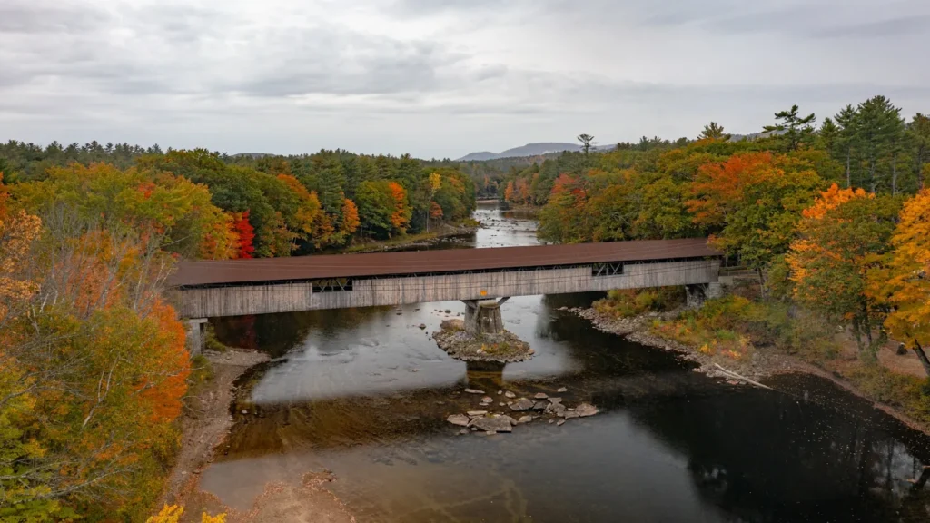
The photo at the top of this page is not Wells River.
It is a regional stand-in, honestly captioned but generic — we will not put a name to a river we cannot prove. Send us a photograph you took here and it replaces the stand-in, with your credit on it.
Add a photo of this water
Landscape, not fish — the water itself. Reviewed by hand before it appears. The first one published here earns the Pioneer badge.
Fished this water? Add a photo
Reviewed by hand before it appears. Pick the water, not the spot — we never publish exact locations.
Access
Wells River village - the gauge reach and the confluence with the Connecticut River.
Route 302 pull-offs - roadside access along most of the river's length.
Groton State Forest - parking, camping and trail access at the head of the drainage.
Boltonville - bridge and bank access on the lower river.
South Ryegate - access to the middle reach through the village.
Ricker Pond - a headwater pond in the state forest feeding the system.
Kettle Pond - upper drainage still water reached from the forest road.
Seasons
Spring: fast, cold runoff that drops quickly once the snow is off the ridges.
Summer: thin through the pocket water, with fish holding in the deeper plunge pools.
Fall: cooling water and good flows make September and early October the best weeks.
Winter: closed and iced, with no open-water fishing on the river.
From the water
No logged trips yet. Be the first to put this water on your map.
Log this water
Fished it or cleaned it? Log in or create a free account to log a trip with photos and earn the waterway badge.
Questions
What is the current flow on the Wells River?
As of Sep 17, 5:45 am, the USGS gauge WELLS RIVER AT WELLS RIVER, VT reads 22 cfs. Conditions update every 15 minutes.
What species can you catch on the Wells River?
Anglers target Brook Trout, Brown Trout, Rainbow Trout, Smallmouth Bass on the Wells River in Vermont.
Where can you access the Wells River?
Wells River village - the gauge reach and the confluence with the Connecticut River. Route 302 pull-offs - roadside access along most of the river's length. Groton State Forest - parking, camping and trail access at the head of the drainage. Boltonville - bridge and bank access on the lower river. South Ryegate - access to the middle reach through the village. Ricker Pond - a headwater pond in the state forest feeding the system. Kettle Pond - upper drainage still water reached from the forest road.
When is the best time to fish the Wells River?
Spring: fast, cold runoff that drops quickly once the snow is off the ridges. Summer: thin through the pocket water, with fish holding in the deeper plunge pools. Fall: cooling water and good flows make September and early October the best weeks. Winter: closed and iced, with no open-water fishing on the river.
Where are the fishing regulations for the Wells River?
Regulations change by season and section. Read the current rules on the Vermont agency site: https://vtfishandwildlife.com/fish/fishing-regulations