Fishes Eel River
River · Humboldt and Mendocino counties on California's north coast · California
Eel River Fishing Guides
A long, wild north-coast river draining more than three thousand square miles of the Coast Range, best known for winter steelhead and a hydrograph that swings harder than almost any river in the state.
Gauge location. Map data © OpenStreetMap contributors.
Guides on the Eel River
Claimed profiles take booking requests. Unclaimed profiles are built from public records so the river is never empty; the guide can claim or remove one any time.
Order on this page: premium and outfitter plans first (labelled Premium placement), then claimed free profiles, then unclaimed — one published price, no bidding for position. How placement works
About the Eel River
The Eel drains a little over three thousand square miles of the northern California Coast Range and reaches the Pacific south of Eureka. It is a big river by coastal standards and an extraordinarily variable one. The Coast Range here is young, steep and made largely of unstable marine rock, so the Eel carries an enormous sediment load and responds to winter storms with rises that can be measured in tens of thousands of cubic feet per second within a day. The gauge at Scotia sits low in the system and reports discharge and stage; there is no live temperature series, so flow and clarity are what a visitor plans around.
Winter steelhead are the reason most people come. The run builds through December and peaks in January and February, and the fishery is entirely governed by the storm cycle: the river needs rain to bring fish in and then needs several days to drop and clear before it can be fished. Fall chinook enter earlier, in late autumn, and hold in the lower river and estuary. Summer sees the river shrink dramatically, and low-flow summers have brought serious problems with warm water and algae in the lower reaches.
Guided trips are drift-boat trips, run on the mainstem below the forks and on the South Fork through the redwood country near Weott and Miranda. Access between launches is limited and much of the bank is private, so the boat is not a luxury here.
The Eel rewards flexibility more than planning. Guides here watch three days of forecast and gauge together, and the difference between an excellent day and a wasted one is usually a matter of timing the drop rather than picking the right water.
This water needs a real photo
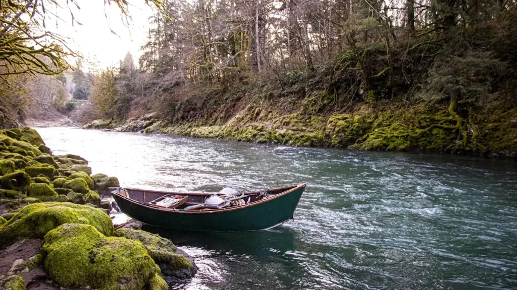
The photo at the top of this page is not Eel River.
It is a regional stand-in, honestly captioned but generic — we will not put a name to a river we cannot prove. Send us a photograph you took here and it replaces the stand-in, with your credit on it.
Pioneer badgeUnclaimed
Add a photo of this water
Landscape, not fish — the water itself. Reviewed by hand before it appears. The first one published here earns the Pioneer badge.
Fished this water? Add a photo
Reviewed by hand before it appears. Pick the water, not the spot — we never publish exact locations.
Access
Scotia and the Highway 101 corridor - lower mainstem access near the gauge.
Fernbridge and the lower river - the bottom of the system and the estuary reach.
South Fork at Weott and Miranda - redwood-country drift water and the most popular winter float.
Avenue of the Giants pullouts - roadside access along the South Fork through Humboldt Redwoods State Park.
Alderpoint on the middle mainstem - remote access to the middle river.
Van Duzen River confluence near Carlotta - a major tributary that clears ahead of the mainstem.
Benbow and Garberville - upper South Fork access and summer river use.
Seasons
Spring: the last of the winter steelhead through March before flows drop away quickly.
Summer: very low and warm, with limited fishing and significant algae in the lower river.
Fall: chinook stage in the lower river and estuary as the first storms arrive.
Winter: the main steelhead season, entirely dictated by how fast the river drops after each storm.
From the water
No logged trips yet. Be the first to put this water on your map.
Log this water
Fished it or cleaned it? Log in or create a free account to log a trip with photos and earn the waterway badge.
Questions
What is the current flow on the Eel River?
As of Oct 25, 7:15 am, the USGS gauge EEL R A SCOTIA CA reads 107 cfs. Conditions update every 15 minutes.
What species can you catch on the Eel River?
Anglers target Chinook Salmon, Coastal Cutthroat Trout, Rainbow Trout, Steelhead on the Eel River in California.
Are there fishing guides on the Eel River?
GuidedFloats lists 2 guides and outfitters on the Eel River. Claimed profiles accept booking requests; unclaimed profiles are built from public records and link to the business.
Where can you access the Eel River?
Scotia and the Highway 101 corridor - lower mainstem access near the gauge. Fernbridge and the lower river - the bottom of the system and the estuary reach. South Fork at Weott and Miranda - redwood-country drift water and the most popular winter float. Avenue of the Giants pullouts - roadside access along the South Fork through Humboldt Redwoods State Park. Alderpoint on the middle mainstem - remote access to the middle river. Van Duzen River confluence near Carlotta - a major tributary that clears ahead of the mainstem. Benbow and Garberville - upper South Fork access and summer river use.
When is the best time to fish the Eel River?
Spring: the last of the winter steelhead through March before flows drop away quickly. Summer: very low and warm, with limited fishing and significant algae in the lower river. Fall: chinook stage in the lower river and estuary as the first storms arrive. Winter: the main steelhead season, entirely dictated by how fast the river drops after each storm.
Where are the fishing regulations for the Eel River?
Regulations change by season and section. Read the current rules on the California agency site: https://wildlife.ca.gov/Fishing/Inland/Regulations