Pedernales River Fishing Guides
A classic Hill Country limestone river of slabs, chutes and green pools, and one of the most approachable places anywhere to catch a Guadalupe bass on a fly.
Map of the Pedernales River
25 numbered points: 14 bridges, 6 parks and conservation areas, 1 agency office, 2 hazards, 1 spring, 1 USGS gauge. Tap a marker for details. Reviewed Oct 21, 2026.
- Bridge crossing (14)
- Park / conservation area (6)
- Agency / conservation office (1)
- Dam / hazard (2)
- Spring (1)
- USGS gauge (1)
Print it. Bag it. Bring it.Phones die, screens crack, and most of this water has no signal. Print this map, fold it into a zip-top bag or dry bag with your license, and you have a backup your electronics can’t give you. Every marker is numbered so you can say exactly where you are.
Open the printable mapAll 25 points on this map
| # | Point | Type | Lat, Lon | Notes |
|---|---|---|---|---|
| 1 | US 290 crossing west of Harper US 290 | Bridge crossing | 30.30038, -99.30827 | Uppermost mapped public crossing on the main stem, above Harper. |
| 2 | US 290 crossing at Harper US 290 | Bridge crossing | 30.30046, -99.28541 | Harper; the upper river is small and largely private through here. |
| 3 | White Oak Road crossing County through-road | Bridge crossing | 30.23516, -99.06459 | Low-water crossing between Harper and Fredericksburg. |
| 4 | Alfred Petsch Road crossing County through-road | Bridge crossing | 30.20949, -99.00540 | Crossing west of the TX 16 bridge. |
| 5 | TX 16 crossing TX 16 | Bridge crossing | 30.20714, -98.97920 | State-highway crossing south-west of Fredericksburg. |
| 6 | US 87 crossing US 87 | Bridge crossing | 30.21990, -98.86998 | South of Fredericksburg. |
| 7 | Old San Antonio Road crossing County through-road | Bridge crossing | 30.22084, -98.84299 | Historic road crossing south-east of Fredericksburg. |
| 8 | US 290 crossing east of Fredericksburg US 290 | Bridge crossing | 30.22729, -98.81854 | The river turns east toward Stonewall below here. |
| 9 | RM 1623 crossing at Stonewall RM 1623 | Bridge crossing | 30.24308, -98.65723 | Ranch-road crossing at Stonewall. |
| 10 | Lyndon B. Johnson State Park and Historic Site State park | Park / conservation area | 30.23757, -98.62613 | Texas Parks and Wildlife park fronting the river at Stonewall; coordinate is the visitor centre. |
| 11 | Johnson Dam Low dam | Dam / hazard | 30.23850, -98.62168 | On-channel dam on the LBJ Ranch reach, 20 m off the centreline. Scout or portage. |
| 12 | Park Road 49 crossing Park Road 49 | Bridge crossing | 30.24250, -98.60562 | Crossing inside the LBJ state and national historical park complex. |
| 13 | RM 1320 crossing RM 1320 | Bridge crossing | 30.27214, -98.54553 | Ranch-road crossing at Hye. |
| 14 | US 281 crossing at Johnson City US 281 | Bridge crossing | 30.29144, -98.40048 | The main crossing at Johnson City, beside the reference gauge. |
| 15 | USGS streamgage - Pedernales River near Johnson City USGS streamgage | USGS gauge | 30.29187, -98.39949 | Real-time flow; the reference gauge for the whole river. |
| 16 | Lake Johnson City Dam Dam | Dam / hazard | 30.28749, -98.39601 | On-channel dam impounding the Johnson City town lake, 16 m off the centreline. |
| 17 | Pedernales River Nature Park LCRA river park | Park / conservation area | 30.28394, -98.39875 | Lower Colorado River Authority park with river frontage at Johnson City. |
| 18 | Pedernales Falls State Park Headquarters TPWD park headquarters | Agency / conservation office | 30.30804, -98.25764 | Entry station and ranger office for the state park. |
| 19 | Pedernales Falls State Park State park | Park / conservation area | 30.30779, -98.24301 | The marquee public access on the river. The falls reach is closed to swimming; the fishable water is below it. |
| 20 | Jones Spring Spring | Spring | 30.29337, -98.22931 | Spring on the river below Pedernales Falls. |
| 21 | Westcave Preserve Nature preserve | Park / conservation area | 30.33675, -98.14063 | Guided-access preserve above the river at Hammett's Crossing. |
| 22 | Hamilton Pool Road crossing Hamilton Pool Road | Bridge crossing | 30.34003, -98.13893 | Hammett's Crossing, the access road for Westcave and Hamilton Pool. |
| 23 | Hamilton Pool Preserve County preserve | Park / conservation area | 30.34302, -98.13257 | Travis County preserve; the grotto itself is on Hamilton Creek just above its Pedernales confluence. Reservation required. |
| 24 | Milton Reimers Ranch Park County park | Park / conservation area | 30.36772, -98.12085 | Travis County park with long Pedernales frontage; the main public access on the lower river. |
| 25 | TX 71 crossing TX 71 | Bridge crossing | 30.38975, -98.08637 | Last mapped crossing above the Pedernales arm of Lake Travis. |
Guides on the Pedernales River
Claimed profiles take booking requests. Unclaimed profiles are built from public records so the river is never empty; the guide can claim or remove one any time.
No guides listed yet
Guide or outfit this water? Create your profile. Listing is free, the commission is 10% or 7% with a premium profile, and premium profiles list first on this water.
About the Pedernales River
The Pedernales runs east out of the country west of Fredericksburg, past Johnson City, and into the western arm of Lake Travis. It is a Hill Country river in the truest sense: a bed of flat limestone slabs, water that slides through narrow chutes and then opens into deep green pools, and cypress and pecan along the banks. In a wet year it is a lovely, wadable, floatable stream. In a dry one long sections go to standing pools connected by a trickle, and the river becomes a wading and hiking trip rather than a paddle. Both versions fish, but they fish differently and it is worth knowing which one is running.
The fish that brings anglers here is the Guadalupe bass, native only to this part of central Texas and found nowhere else in the world. They are small by bass standards, rarely much over a pound, but they hold in fast water like a trout and hit hard enough that nobody complains about size. Largemouth take the deeper pools, Rio Grande cichlid are abundant and eager, and redbreast sunfish will take almost any small popper thrown near structure. Light tackle and small flies are the tools that fit.
Most guided work here is wade fishing or a kayak float on the reaches near Johnson City and through Pedernales Falls State Park, where the exposed slab formations are the signature of the river. The park is the best public access in the drainage and it has a firm rule worth respecting: the falls area itself is closed to swimming and the river rises fast in a storm. The gauge near Johnson City is the honest read on whether there is enough water to float.
This water needs a real photo
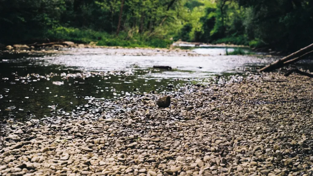
The photo at the top of this page is not Pedernales River.
It is a regional stand-in, honestly captioned but generic — we will not put a name to a river we cannot prove. Send us a photograph you took here and it replaces the stand-in, with your credit on it.
Add a photo of this water
Landscape, not fish — the water itself. Reviewed by hand before it appears. The first one published here earns the Pioneer badge.
Fished this water? Add a photo
Reviewed by hand before it appears. Pick the water, not the spot — we never publish exact locations.
Access
Pedernales Falls State Park - the primary public access, with trails, bank fishing and the falls formations.
Cypress Mill low-water crossing - a common upstream put-in for kayak floats toward the park.
Hammett's Crossing on Ranch Road 962 - mid-river access and a popular wade-fishing stretch.
Highway 281 crossing at Johnson City - roadside access near the gauge and the town reaches.
Reimers Ranch Park in Travis County - lower-river access on the approach to Lake Travis.
Milton Reimers and Westcave Preserve area - limited-permit and day-use access on the lower river.
Lyndon B. Johnson National Historical Park - riverfront frontage near Stonewall on the upper river.
Seasons
Spring: highest and most reliable flows, best floating, and Guadalupe bass feeding hard in the chutes.
Summer: low and warm, wading and sight-fishing the pools, with early morning by far the best window.
Fall: flows recover with autumn rain and the river fishes as well as it does all year.
Winter: cool, clear and quiet, slow fishing but the most pleasant wading conditions of the year.
From the water
No logged trips yet. Be the first to put this water on your map.
Log this water
Fished it or cleaned it? Log in or create a free account to log a trip with photos and earn the waterway badge.
Questions
What is the current flow on the Pedernales River?
As of Nov 2, 7:00 am, the USGS gauge Pedernales Rv nr Johnson City, TX reads 17 cfs. Conditions update every 15 minutes.
What species can you catch on the Pedernales River?
Anglers target Channel Catfish, Guadalupe Bass, Largemouth Bass, Longnose Gar, Redbreast Sunfish, Rio Grande Cichlid on the Pedernales River in Texas.
Where can you access the Pedernales River?
Pedernales Falls State Park - the primary public access, with trails, bank fishing and the falls formations. Cypress Mill low-water crossing - a common upstream put-in for kayak floats toward the park. Hammett's Crossing on Ranch Road 962 - mid-river access and a popular wade-fishing stretch. Highway 281 crossing at Johnson City - roadside access near the gauge and the town reaches. Reimers Ranch Park in Travis County - lower-river access on the approach to Lake Travis. Milton Reimers and Westcave Preserve area - limited-permit and day-use access on the lower river. Lyndon B. Johnson National...
When is the best time to fish the Pedernales River?
Spring: highest and most reliable flows, best floating, and Guadalupe bass feeding hard in the chutes. Summer: low and warm, wading and sight-fishing the pools, with early morning by far the best window. Fall: flows recover with autumn rain and the river fishes as well as it does all year. Winter: cool, clear and quiet, slow fishing but the most pleasant wading conditions of the year.
Where are the fishing regulations for the Pedernales River?
Regulations change by season and section. Read the current rules on the Texas agency site: https://tpwd.texas.gov/regulations/outdoor-annual/fishing