Nueces River Fishing Guides
The upper Nueces canyon above Uvalde is a clear, cypress-lined Hill Country float with strong Guadalupe bass water and a fraction of the pressure the Guadalupe sees.
Map of the Nueces River
17 numbered points: 3 campsites, 11 bridges, 1 hazard, 1 USGS gauge, 1 point of interest. Tap a marker for details. Reviewed Oct 22, 2026.
- Campsite (3)
- Bridge crossing (11)
- Dam / hazard (1)
- USGS gauge (1)
- Point of interest (1)
Print it. Bag it. Bring it.Phones die, screens crack, and most of this water has no signal. Print this map, fold it into a zip-top bag or dry bag with your license, and you have a backup your electronics can’t give you. Every marker is numbered so you can say exactly where you are.
Open the printable mapAll 17 points on this map
| # | Point | Type | Lat, Lon | Notes |
|---|---|---|---|---|
| 1 | Dry Creek Road crossing Dry Creek Road | Bridge crossing | 29.73044, -100.02671 | km 29.1. The uppermost crossing on this sheet, 6 m off the centreline, just below the Dry Creek junction. |
| 2 | State Highway 55 crossing above Barksdale TX 55 north | Bridge crossing | 29.72213, -100.03352 | km 31.0. TX 55 runs the whole canyon and crosses here, 0.13 km off the centreline. |
| 3 | USGS 0818999010 - Nueces River near Barksdale Flow and stage for the canyon float | USGS gauge | 29.71883, -100.03958 | km 31.8. The gauge for the upper Nueces, 7 m off the centreline. Roster coordinate, confirmed against the USGS site service. |
| 4 | Smith Road crossing Smith Road | Bridge crossing | 29.69905, -100.03092 | km 34.6. County-road low-water crossing, 6 m off the centreline. |
| 5 | McDonald Crossing Ray McDonald Ranch Road | Bridge crossing | 29.69368, -100.02578 | km 35.7. OSM names the road rather than the crossing; USGS runs a stage station here and calls it McDonald Crossing, which is the name used on this sheet. |
| 6 | Los Rios Campground Camp Wood | Campsite | 29.66753, -100.02332 | km 39.3. Riverside campground at Camp Wood, 98 m off the channel. |
| 7 | River Road crossing at Camp Wood River Road | Bridge crossing | 29.66676, -100.02875 | km 39.9. The town crossing at Camp Wood, 10 m off the centreline and the busiest access on the upper river. |
| 8 | State Highway 55 crossing below Camp Wood TX 55 south | Bridge crossing | 29.63548, -100.00654 | km 44.3. TX 55's lower crossing, 97 m off the centreline, above Arnold Crossing. |
| 9 | The Dam Store Store at Arnold Crossing | Point of interest | 29.62076, -100.00849 | km 46.6. The store at the Arnold Crossing road, 0.26 km off the river. Tagged in OSM as a shop without a type, so it is listed as it is rather than called a tackle shop. |
| 10 | Cooksey Park Uvalde County Camping Uvalde County | Campsite | 29.62013, -100.00864 | km 46.6. County camping on the bank immediately above the dam, 0.2 km off the channel. |
| 11 | Arnold Crossing Dam Low dam at the Arnold Crossing road | Dam / hazard | 29.61884, -100.01019 | km 46.6. A low dam mapped 7 m off the centreline at Arnold Crossing. A hard stop for anything floating down. |
| 12 | Big Oak River Camp Below Arnold Crossing | Campsite | 29.60503, -100.00258 | km 48.8. Named riverside camp 0.38 km off the channel on the Montell reach. |
| 13 | County Road 416 crossing CR 416 | Bridge crossing | 29.54969, -99.99525 | km 56.5. Low-water crossing on the Montell reach, 38 m off the centreline. |
| 14 | County Road 414 crossing CR 414 | Bridge crossing | 29.52648, -100.01827 | km 60.7. Low-water crossing, 21 m off the centreline. OSM carries the span as two adjoining ways; condensed to one pin. |
| 15 | County Road 408 crossing CR 408 | Bridge crossing | 29.44321, -99.99369 | km 73.9. Low-water crossing on the long reach below Montell, 21 m off the centreline. |
| 16 | Nineteen Mile Crossing Named low-water crossing | Bridge crossing | 29.39836, -100.00041 | km 80.2. A named crossing; OSM maps the bridge without a name and carries the name on a place node 0.14 km away, so this pin is the bridge. |
| 17 | Haby Crossing Named low-water crossing - lowest on this sheet | Bridge crossing | 29.32838, -99.94779 | km 94.9. The last crossing above Uvalde and the downstream limit of this sheet. Same mapping as Nineteen Mile: the name is on a place node 41 m away, the pin is the bridge. |
Guides on the Nueces River
Claimed profiles take booking requests. Unclaimed profiles are built from public records so the river is never empty; the guide can claim or remove one any time.
No guides listed yet
Guide or outfit this water? Create your profile. Listing is free, the commission is 10% or 7% with a premium profile, and premium profiles list first on this water.
About the Nueces River
The Nueces runs nearly three hundred miles from the western Edwards Plateau to Corpus Christi Bay, but the reach that matters to anglers is the upper canyon between Barksdale, Camp Wood and Uvalde. Up there it is a Hill Country river of the best kind: clear water over pale limestone and gravel, bald cypress crowding both banks, and a steady alternation of riffle and pool through a narrow valley. Below Uvalde it changes character entirely, running out onto the South Texas plain and largely going subsurface through the sand country before rebuilding downstream toward the coast.
The upper river is a genuine Guadalupe bass fishery and one of the least crowded in the state. Fish hold on the current seams and in the pockets behind limestone ledges, and they take small poppers and crayfish patterns without much persuasion. Largemouth take the deeper pools, Rio Grande cichlid are abundant in the slower water, and redbreast sunfish fill in everywhere else. Because the canyon sits well west of the Austin and San Antonio corridor, a weekday here can pass without seeing another boat, which is not something anyone says about the Guadalupe.
Flow is the whole planning problem. This part of the Nueces depends on spring input and on rain that arrives unevenly across the plateau, and in a dry stretch the river breaks into disconnected pools that must be walked between. In a normal year the reaches near Barksdale and Camp Wood hold enough water for a kayak. Access is mostly through low-water crossings on the county roads and through private leases, so anglers stay in the streambed and arrange bank access in advance. The gauge near Barksdale is the number to check.
This water needs a real photo
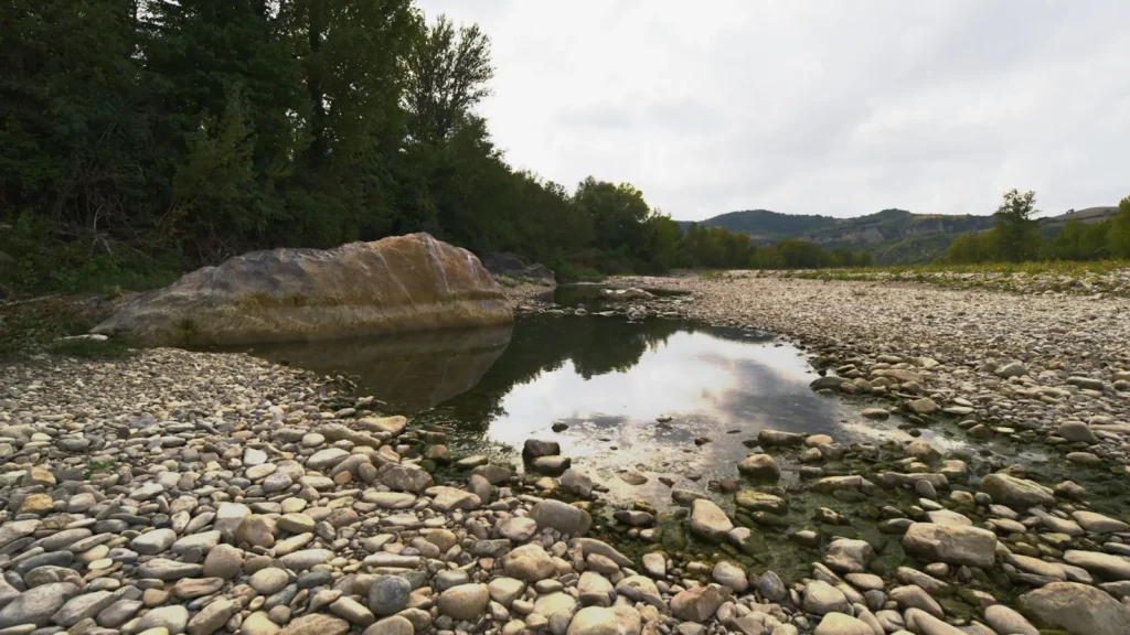
The photo at the top of this page is not Nueces River.
It is a regional stand-in, honestly captioned but generic — we will not put a name to a river we cannot prove. Send us a photograph you took here and it replaces the stand-in, with your credit on it.
Add a photo of this water
Landscape, not fish — the water itself. Reviewed by hand before it appears. The first one published here earns the Pioneer badge.
Fished this water? Add a photo
Reviewed by hand before it appears. Pick the water, not the spot — we never publish exact locations.
Access
Barksdale low-water crossing on Highway 55 - the reference gauge site and the usual upper put-in.
Camp Wood river crossings - several county-road crossings giving streambed access through the canyon.
Chalk Bluff Park near Uvalde - private park with river frontage, camping and dependable pools.
Highway 55 crossings between Barksdale and Uvalde - roadside streambed access at moderate flow.
Montell and County Road 414 crossing - mid-canyon access point used for short kayak floats.
Uvalde city reaches - the bottom of the clear water before the river runs onto the plain.
Garner State Park on the nearby Frio - alternate public water when the Nueces is too low to float.
Seasons
Spring: best flows of the year and the most dependable window for floating the canyon reaches.
Summer: low and warm, wade the pools early, and expect to walk between them in a dry year.
Fall: rain rebuilds the river and Guadalupe bass feed hard with almost no angling pressure.
Winter: clear and cold, fishable but slow, and low flows make long stretches unfloatable.
From the water
No logged trips yet. Be the first to put this water on your map.
Log this water
Fished it or cleaned it? Log in or create a free account to log a trip with photos and earn the waterway badge.
Questions
What is the current flow on the Nueces River?
As of Nov 2, 7:45 am, the USGS gauge Nueces Rv nr Barksdale, TX reads 67 cfs. Conditions update every 15 minutes.
What species can you catch on the Nueces River?
Anglers target Channel Catfish, Guadalupe Bass, Largemouth Bass, Longnose Gar, Redbreast Sunfish, Rio Grande Cichlid on the Nueces River in Texas.
Where can you access the Nueces River?
Barksdale low-water crossing on Highway 55 - the reference gauge site and the usual upper put-in. Camp Wood river crossings - several county-road crossings giving streambed access through the canyon. Chalk Bluff Park near Uvalde - private park with river frontage, camping and dependable pools. Highway 55 crossings between Barksdale and Uvalde - roadside streambed access at moderate flow. Montell and County Road 414 crossing - mid-canyon access point used for short kayak floats. Uvalde city reaches - the bottom of the clear water before the river runs onto the plain. Garner State Park on the ne...
When is the best time to fish the Nueces River?
Spring: best flows of the year and the most dependable window for floating the canyon reaches. Summer: low and warm, wade the pools early, and expect to walk between them in a dry year. Fall: rain rebuilds the river and Guadalupe bass feed hard with almost no angling pressure. Winter: clear and cold, fishable but slow, and low flows make long stretches unfloatable.
Where are the fishing regulations for the Nueces River?
Regulations change by season and section. Read the current rules on the Texas agency site: https://tpwd.texas.gov/regulations/outdoor-annual/fishing