Little Miami River Fishing Guides
A designated state and national scenic river through southwest Ohio, with limestone riffles, a good smallmouth fishery and the state's best-known canoe corridor.
Map of the Little Miami River
64 numbered points: 10 access points, 2 campsites, 1 bait & fly shop, 6 outfitters, 29 bridges, 13 parks and conservation areas, 1 hazard, 1 spring, 1 USGS gauge. Tap a marker for details. Reviewed Oct 23, 2026.
- Access / boat ramp (10)
- Campsite (2)
- Bait, tackle & fly shop (1)
- Outfitter / canoe rental (6)
- Bridge crossing (29)
- Park / conservation area (13)
- Dam / hazard (1)
- Spring (1)
- USGS gauge (1)
Print it. Bag it. Bring it.Phones die, screens crack, and most of this water has no signal. Print this map, fold it into a zip-top bag or dry bag with your license, and you have a backup your electronics can’t give you. Every marker is numbered so you can say exactly where you are.
Open the printable mapAll 64 points on this map
| # | Point | Type | Lat, Lon | Notes |
|---|---|---|---|---|
| 1 | Clifton Road | Bridge crossing | 39.82307, -83.66120 | |
| 2 | Selma Pike | Bridge crossing | 39.81018, -83.73908 | |
| 3 | Main Street Clifton | Bridge crossing | 39.79347, -83.82463 | |
| 4 | Amphitheater Falls Waterfall, Clifton Gorge | Dam / hazard | 39.79644, -83.83614 | Falls in the gorge above John Bryan; not a runnable drop. |
| 5 | Clifton Gorge State Nature Preserve State nature preserve | Park / conservation area | 39.79433, -83.83423 | Gorge preserve at the head of the river; the gorge itself is not floatable. |
| 6 | South Gorge Trail Footbridge, Clifton Gorge | Bridge crossing | 39.79075, -83.84084 | |
| 7 | John Bryan Campground ODNR state park campground | Campsite | 39.78794, -83.86673 | State park campground above the Narrows. |
| 8 | Grinnell Road | Bridge crossing | 39.78279, -83.87522 | |
| 9 | Ricciardi Spring Named spring | Spring | 39.79084, -83.87490 | Named spring in the gorge corridor. |
| 10 | Jacoby Road Canoe Launch Greene County Parks launch | Access / boat ramp | 39.76386, -83.90218 | Canoe launch at Jacoby Road; the parking is mapped separately. |
| 11 | Little Miami State Forest Preserve ODNR preserve | Park / conservation area | 39.76237, -83.90433 | State preserve on the upper river below the gorge. |
| 12 | US 68 | Bridge crossing | 39.74804, -83.93110 | |
| 13 | SR 235 | Bridge crossing | 39.74080, -83.93669 | |
| 14 | Great Council State Park Ohio state park | Park / conservation area | 39.72909, -83.93821 | Shawnee heritage state park on the river above Xenia. |
| 15 | Little Miami Conservancy Preserve Little Miami Conservancy | Park / conservation area | 39.73089, -83.94352 | Conservancy land on the upper river. |
| 16 | Trebein Road | Bridge crossing | 39.70734, -83.99135 | |
| 17 | Glen Thompson State Reserve State reserve | Park / conservation area | 39.70377, -83.99671 | Riverside reserve below Jacoby Road. |
| 18 | US 35 | Bridge crossing | 39.70116, -83.99967 | |
| 19 | Indian Ripple Road | Bridge crossing | 39.69151, -84.02853 | |
| 20 | The Narrows State Scenic River Reserve State scenic river reserve | Park / conservation area | 39.68423, -84.03660 | The Narrows: the scenic-river reserve on the Greene County reach. |
| 21 | Lower Narrows Campsite Canoe campsite | Campsite | 39.67755, -84.04298 | Riverside canoe campsite in the Narrows reserve. |
| 22 | Mill Bridge Launch Park Launch park | Access / boat ramp | 39.64644, -84.04377 | Launch at the old mill bridge above Bellbrook. |
| 23 | Bellbrook Canoe Rental Canoe livery, Bellbrook | Outfitter / canoe rental | 39.64268, -84.05830 | Livery on the Bellbrook reach. |
| 24 | Lower Bellbrook Road | Bridge crossing | 39.63298, -84.05160 | |
| 25 | SR 725 | Bridge crossing | 39.62087, -84.05037 | |
| 26 | US 42 | Bridge crossing | 39.60198, -84.01379 | |
| 27 | Spring Valley Wildlife Area ODNR wildlife area | Park / conservation area | 39.57839, -84.00660 | State wildlife area beside the river at Spring Valley. |
| 28 | RiversEdge Canoe & Kayak Outfitters Canoe livery | Outfitter / canoe rental | 39.57500, -84.03272 | Livery on the Spring Valley reach. |
| 29 | SR 73 Waynesville | Bridge crossing | 39.52499, -84.08778 | |
| 30 | Hisey Park Warren County park | Park / conservation area | 39.49652, -84.09195 | County park on the Oregonia reach. |
| 31 | Caesar Creek Scenic River Access State scenic river access | Access / boat ramp | 39.49745, -84.10041 | ODNR scenic-river access near the Caesar Creek confluence. |
| 32 | Corwin M. Nixon Covered Bridge Covered bridge | Bridge crossing | 39.49755, -84.10210 | |
| 33 | Oregonia Road | Bridge crossing | 39.45490, -84.09839 | |
| 34 | Wilmington Road | Bridge crossing | 39.42979, -84.10502 | |
| 35 | Mather's Mill Scenic River Access State scenic river access | Access / boat ramp | 39.42955, -84.10503 | ODNR scenic-river access at Mather's Mill. |
| 36 | I 71 | Bridge crossing | 39.41972, -84.10323 | |
| 37 | SR 350 Fort Ancient | Bridge crossing | 39.40701, -84.10094 | |
| 38 | Fort Ancient Scenic River Access State scenic river access | Access / boat ramp | 39.40632, -84.10036 | ODNR scenic-river access below the Fort Ancient earthworks. |
| 39 | Mill Street Morrow | Bridge crossing | 39.35701, -84.12859 | |
| 40 | Little Miami Canoe Rental Canoe livery, Morrow | Outfitter / canoe rental | 39.35623, -84.12862 | Livery at Morrow, the busiest put-in on the river. |
| 41 | Bishop Park Village park, Morrow | Park / conservation area | 39.35474, -84.12875 | Riverside park at Morrow beside the livery. |
| 42 | Halls Creek Scenic River Access State scenic river access | Access / boat ramp | 39.36577, -84.15549 | ODNR scenic-river access at Halls Creek. OSM spells it 'Acccess'. |
| 43 | SR 48 | Bridge crossing | 39.36825, -84.22475 | |
| 44 | US 22 / SR 3 | Bridge crossing | 39.32073, -84.25160 | |
| 45 | East Loveland Nature Preserve Nature preserve | Park / conservation area | 39.26829, -84.25182 | Preserve on the east bank at Loveland. |
| 46 | C. Roger Nisbet Park Loveland riverfront park | Park / conservation area | 39.26984, -84.25816 | Riverfront park at Loveland; the bike trail and the liveries are here. |
| 47 | West Loveland Avenue Loveland | Bridge crossing | 39.26856, -84.26011 | |
| 48 | Loveland Paddlesports Canoe and kayak livery | Outfitter / canoe rental | 39.26642, -84.26027 | Livery at Loveland on the bike-trail reach. |
| 49 | Bridge Street | Bridge crossing | 39.24655, -84.29473 | |
| 50 | Circle Freeway I-275 | Bridge crossing | 39.23801, -84.29635 | |
| 51 | Orvis Fly shop, Cincinnati | Outfitter / canoe rental | 39.20218, -84.38089 | Fly shop about 6 km off the lower river. |
| 52 | Kelley Boat Ramp Boat ramp | Access / boat ramp | 39.20934, -84.30663 | Ramp on the Camp Dennison reach. |
| 53 | Glendale Milford Road | Bridge crossing | 39.21107, -84.29355 | |
| 54 | Lefty's Bait Shack Bait shop | Bait, tackle & fly shop | 39.20894, -84.27826 | The only bait shop OSM maps on the corridor, near Camp Dennison. |
| 55 | American Legion River Access Legion post access | Access / boat ramp | 39.17798, -84.29447 | Permissive river access above Milford. |
| 56 | Roads Rivers and Trails Paddling shop, Milford | Outfitter / canoe rental | 39.17333, -84.29569 | Paddle shop in Milford; gear and shuttles. |
| 57 | Water Street Milford | Bridge crossing | 39.17188, -84.29816 | |
| 58 | Jim Terrell River Access City of Milford access | Access / boat ramp | 39.17009, -84.29837 | Milford's river access at Jim Terrell Park. |
| 59 | Kroger Hills Great Parks of Hamilton County | Park / conservation area | 39.15294, -84.32475 | Hillside county park above the lower river. |
| 60 | Beechmont Avenue | Bridge crossing | 39.10931, -84.40169 | |
| 61 | Kellogg Avenue | Bridge crossing | 39.08549, -84.42135 | |
| 62 | California Woods Nature Preserve Cincinnati Parks nature preserve | Park / conservation area | 39.07672, -84.41752 | Wooded preserve above the mouth. |
| 63 | Ohio River Access Access at the mouth | Access / boat ramp | 39.07708, -84.42890 | Access at the Little Miami's mouth on the Ohio River - the bottom take-out, and an Ohio River point rather than a Little Miami one. |
| 64 | USGS 03240000 - Little Miami River near Oldtown USGS streamgauge | USGS gauge | 39.74839, -83.93132 | Live stage and discharge for this river. |
Guides on the Little Miami River
Claimed profiles take booking requests. Unclaimed profiles are built from public records so the river is never empty; the guide can claim or remove one any time.
No guides listed yet
Guide or outfit this water? Create your profile. Listing is free, the commission is 10% or 7% with a premium profile, and premium profiles list first on this water.
About the Little Miami River
The Little Miami is Ohio’s showpiece stream. It rises in Clark County, runs south through the glacial gorge country around Yellow Springs and Xenia, and continues past Morrow and Loveland to enter the Ohio River east of Cincinnati. It carries both state and national scenic river designation for essentially its whole length, and the corridor is protected by a long chain of parks and by the bike trail that follows it. The gauge near Oldtown sits on the upper river above Xenia and is the reference for the upper float water.
Smallmouth bass are the primary gamefish and the river fishes well for them over its limestone riffles, gravel bars and undercut banks. The upper river near the gauge is small and wadable, with fish that are numerous rather than large; the middle and lower reaches around Morrow and Loveland grow bigger bass and are better suited to a canoe or kayak. Rock bass are abundant in the riffle water, longear sunfish and bluegill fill the pools, and channel catfish and carp occupy the deeper bends. The upper river also runs cold enough in places to support limited trout stocking in some years.
This is a busy corridor and that is worth planning around. The canoe liveries between Oldtown and Morrow put a lot of boats on the water on summer weekends, and the bike trail brings people to nearly every access point. Anglers do best early in the morning, on weekdays, or in the shoulder seasons. The river is flashy and responds quickly to rain across a partly agricultural, partly suburban watershed, so it can go from clear to chocolate in a day. This station reports water temperature as well as discharge, which is useful for judging late-summer conditions on the upper reaches.
This water needs a real photo
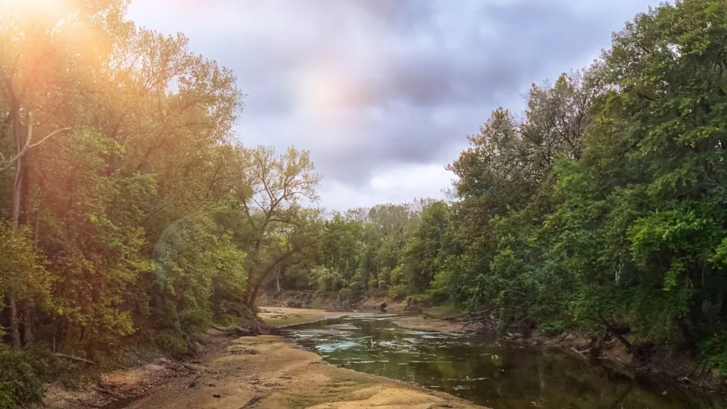
The photo at the top of this page is not Little Miami River.
It is a regional stand-in, honestly captioned but generic — we will not put a name to a river we cannot prove. Send us a photograph you took here and it replaces the stand-in, with your credit on it.
Add a photo of this water
Landscape, not fish — the water itself. Reviewed by hand before it appears. The first one published here earns the Pioneer badge.
Fished this water? Add a photo
Reviewed by hand before it appears. Pick the water, not the spot — we never publish exact locations.
Access
Oldtown access near the gauge - upper river wading and a small launch north of Xenia.
John Bryan State Park near Yellow Springs - developed park access in the gorge with parking.
Clifton Gorge State Nature Preserve - upper river access above the park.
Corwin and Waynesville accesses - popular middle river canoe launches.
Morrow canoe access - the heart of the livery corridor with ample parking.
Loveland access on the bike trail - lower river access with a launch and services.
Milford and Terrace Park accesses - the lowest reaches above the Ohio River confluence.
Seasons
Spring: high and stained from spring rain, clearing into a strong smallmouth prespawn through May.
Summer: the prime fishing months but the busiest for paddling, so fish early for topwater smallmouth.
Fall: falling clear water, aggressive smallmouth on the riffles and far fewer boats after Labor Day.
Winter: cold and often high, with slow deep presentations in the larger pools and almost no competition.
From the water
No logged trips yet. Be the first to put this water on your map.
Log this water
Fished it or cleaned it? Log in or create a free account to log a trip with photos and earn the waterway badge.
Questions
What is the current flow on the Little Miami River?
As of Nov 2, 7:30 am, the USGS gauge Little Miami River near Oldtown OH reads 40 cfs, with water temperature 55 F. Conditions update every 15 minutes.
What species can you catch on the Little Miami River?
Anglers target Bluegill, Channel Catfish, Common Carp, Largemouth Bass, Longear Sunfish, Rock Bass, Smallmouth Bass on the Little Miami River in Ohio.
Where can you access the Little Miami River?
Oldtown access near the gauge - upper river wading and a small launch north of Xenia. John Bryan State Park near Yellow Springs - developed park access in the gorge with parking. Clifton Gorge State Nature Preserve - upper river access above the park. Corwin and Waynesville accesses - popular middle river canoe launches. Morrow canoe access - the heart of the livery corridor with ample parking. Loveland access on the bike trail - lower river access with a launch and services. Milford and Terrace Park accesses - the lowest reaches above the Ohio River confluence.
When is the best time to fish the Little Miami River?
Spring: high and stained from spring rain, clearing into a strong smallmouth prespawn through May. Summer: the prime fishing months but the busiest for paddling, so fish early for topwater smallmouth. Fall: falling clear water, aggressive smallmouth on the riffles and far fewer boats after Labor Day. Winter: cold and often high, with slow deep presentations in the larger pools and almost no competition.
Where are the fishing regulations for the Little Miami River?
Regulations change by season and section. Read the current rules on the Ohio agency site: https://ohiodnr.gov/buy-and-apply/hunting-fishing-boating/fishing-resources/fishing-regulations