Walhonding River Fishing Guides
A short, underfished Coshocton County river formed where the Mohican and Kokosing meet, holding smallmouth, big flatheads and a few musky.
Guides on the Walhonding River
Claimed profiles take booking requests. Unclaimed profiles are built from public records so the river is never empty; the guide can claim or remove one any time.
No guides listed yet
Guide or outfit this water? Create your profile. Listing is free, the commission is 10% or 7% with a premium profile, and premium profiles list first on this water.
About the Walhonding River
The Walhonding is one of Ohio’s shortest named rivers and one of its least fished. It begins at Nellie, where the Mohican and the Kokosing come together, and runs only about twenty five miles southeast to Coshocton, where it joins the Tuscarawas to form the Muskingum. Because it is short, because it sits between better-known waters, and because much of the corridor is farmland and woodlot with limited road frontage, it gets a fraction of the pressure that either of its parent rivers sees. Anglers who make the effort find a wide, gravel-bottomed river with good structure and a fish community that draws from both tributaries.
It is worth being clear about the dam in this gauge’s name. Mohawk Dam is an Army Corps of Engineers flood-control structure on the Mohican, part of the same Muskingum Watershed system as Dover Dam, and like Dover it is a dry dam that holds no permanent pool and passes flow freely outside of flood events. There is no cold release and no tailwater fishery below it. What the Walhonding offers instead is good warmwater river fishing: smallmouth bass on the gravel bars and rock, rock bass in the faster water, channel catfish everywhere and flatheads that reach serious size in the deep holes. Saugeye and sauger move up from the Muskingum, white bass run in spring, and the river holds a modest muskellunge population that a handful of specialists take seriously.
The gauge below Mohawk Dam reads discharge and stage with no temperature sensor. Since the dam passes water freely most of the year, the trace rises and falls like a natural river. Moderate stable flows make for the best floating; high water after regional rain both muddies the river and makes the limited access points harder to use safely.
This water needs a real photo
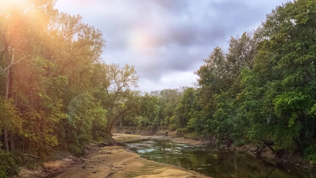
The photo at the top of this page is not Walhonding River.
It is a regional stand-in, honestly captioned but generic — we will not put a name to a river we cannot prove. Send us a photograph you took here and it replaces the stand-in, with your credit on it.
Add a photo of this water
Landscape, not fish — the water itself. Reviewed by hand before it appears. The first one published here earns the Pioneer badge.
Fished this water? Add a photo
Reviewed by hand before it appears. Pick the water, not the spot — we never publish exact locations.
Access
Mohawk Dam access at Nellie - bank fishing below the flood-control structure.
Walhonding access off Route 715 - a cartop launch on the upper river.
Warsaw river access - bank and boat access in the middle reaches.
Randle access off Route 36 - a gravel launch used for float trips.
Lake Park, Coshocton - developed access near the Tuscarawas confluence.
Mohican confluence at Cavallo - walk-in access at the head of the river.
Route 36 bridge crossings - informal bank access at several points along the corridor.
Seasons
Spring: high flows and flood-control releases, with white bass and saugeye running up from below.
Summer: the best conditions for floating and wading, with smallmouth on the gravel and catfish after dark.
Fall: excellent smallmouth and saugeye fishing as the river drops and clears.
Winter: quiet, with flathead and channel catfish from the deepest holes and a few musky anglers out.
From the water
No logged trips yet. Be the first to put this water on your map.
Log this water
Fished it or cleaned it? Log in or create a free account to log a trip with photos and earn the waterway badge.
Questions
What species can you catch on the Walhonding River?
Anglers target Bluegill, Channel Catfish, Common Carp, Flathead Catfish, Freshwater Drum, Largemouth Bass, Muskellunge, Rock Bass, Sauger, Saugeye, Smallmouth Bass, White Bass on the Walhonding River in Ohio.
Where can you access the Walhonding River?
Mohawk Dam access at Nellie - bank fishing below the flood-control structure. Walhonding access off Route 715 - a cartop launch on the upper river. Warsaw river access - bank and boat access in the middle reaches. Randle access off Route 36 - a gravel launch used for float trips. Lake Park, Coshocton - developed access near the Tuscarawas confluence. Mohican confluence at Cavallo - walk-in access at the head of the river. Route 36 bridge crossings - informal bank access at several points along the corridor.
When is the best time to fish the Walhonding River?
Spring: high flows and flood-control releases, with white bass and saugeye running up from below. Summer: the best conditions for floating and wading, with smallmouth on the gravel and catfish after dark. Fall: excellent smallmouth and saugeye fishing as the river drops and clears. Winter: quiet, with flathead and channel catfish from the deepest holes and a few musky anglers out.
Where are the fishing regulations for the Walhonding River?
Regulations change by season and section. Read the current rules on the Ohio agency site: https://ohiodnr.gov/buy-and-apply/hunting-fishing-boating/fishing-resources/fishing-regulations