Saratoga Lake Fishing Guides
A fertile four-mile lake outside Saratoga Springs with a genuinely strong walleye and bass fishery and a long tournament and guiding history.
Map of the Saratoga Lake
11 numbered points: 2 access points, 1 campsite, 3 parks and conservation areas, 2 regulation section limits, 1 USGS gauge, 2 points of interest. Tap a marker for details. Reviewed Sep 22, 2026.
- Access / boat ramp (2)
- Campsite (1)
- Park / conservation area (3)
- Regulation section limit (2)
- USGS gauge (1)
- Point of interest (2)
Print it. Bag it. Bring it.Phones die, screens crack, and most of this water has no signal. Print this map, fold it into a zip-top bag or dry bag with your license, and you have a backup your electronics can’t give you. Every marker is numbered so you can say exactly where you are.
Open the printable mapAll 11 points on this map
| # | Point | Type | Lat, Lon | Notes |
|---|---|---|---|---|
| 1 | Fish Creek special-regulation reach - upper limit At the Saratoga Lake outlet, north end | Regulation section limit | 43.05374, -73.72418 | NYSDEC's Region 5 table runs this reach from Saratoga Lake downstream to the old railroad crossing between Staffords and Bryants bridges. Placed at the mapped point where Fish Creek leaves the lake. |
| 2 | Saratoga Lake State Boat Launch NYS Parks (OPRHP), hard surface ramp, launch fee | Access / boat ramp | 43.05361, -73.72112 | The only public launch NYSDEC's boat-launch layer records on this lake: OPRHP, hard surface, parking for 40 cars and trailers. Both ramp nodes are unnamed in OpenStreetMap; the park polygon around them carries the name. |
| 3 | USGS gauge 01330884 - Saratoga Lake at State Route 9P Lake level. Stands at the state boat launch | USGS gauge | 43.05397, -73.72114 | Roster coordinate, corroborated independently by the OpenStreetMap monitoring-station node at the same position. It sits about 40 m from the state ramp, so the two markers print almost on top of each other. |
| 4 | Lee's Campground Fish Creek, about 0.6 km east of the lake outlet | Campsite | 43.05375, -73.71651 | Tagged tourism=camp_site. It sits on the Fish Creek outlet rather than the lake shore, so the frontage here is creek rather than lake. Inside the 1 km campsite radius and shipped on that basis. |
| 5 | Point Breeze Marina 1459 Route 9P. Dockage, service and boat sales | Point of interest | 43.05254, -73.72251 | OpenStreetMap tags it 'Point Breeze Marine'; the business's own site trades as Point Breeze Marina. It describes a full-service boat dealership and dockage, and advertises no ship store, bait or tackle. |
| 6 | Observation Pointe at Mangino's Town of Malta. South shore overlook | Park / conservation area | 42.98650, -73.75452 | Town of Malta open space at the south end, 0.08 km off the shoreline. A duplicate OpenStreetMap node 140 m away is the same place and is not shipped as a second marker. |
| 7 | Unnamed boat ramp, south end Unnamed in OpenStreetMap. On the shoreline | Access / boat ramp | 42.98831, -73.75821 | A mapped slipway on the south shore, about 370 m from Observation Pointe and a separate feature from it. It is not on NYSDEC's launch list, so treat it as informal and look before you tow. |
| 8 | Kayaderosseras Creek special-regulation reach - lower limit At the creek mouth, west shore | Regulation section limit | 43.04062, -73.73779 | NYSDEC's Region 5 table runs this reach from Saratoga Lake upstream to the first railroad bridge. Placed at the mapped mouth where the creek enters the lake. OpenStreetMap spells it 'Kayaderosserass Creek'. |
| 9 | Arrowhead Casino Archaeological Preserve Shoreline open space with trailhead parking | Park / conservation area | 43.04177, -73.74061 | An archaeological preserve rather than a fishing access, but a mapped trailhead parking lot sits at its edge 0.22 km off the shore. No fishing access is published by the operator, so read the signage on site. |
| 10 | Waterfront Park City of Saratoga Springs. North-west shore | Park / conservation area | 43.05235, -73.73014 | City park on the lake at 0.09 km. An unnamed slipway 90 m away is almost certainly this park's own ramp and is folded into this point rather than shipped as a second marker. |
| 11 | Saratoga Lake Marina 549 Union Avenue. Dockage | Point of interest | 43.05558, -73.72193 | Listed by the Saratoga Lake Association as a docking facility; no bait or tackle is advertised. The Saratoga Rowing Association boathouse next door at 543 Union Avenue is not angler content and is not shipped. |
Guides on the Saratoga Lake
Claimed profiles take booking requests. Unclaimed profiles are built from public records so the river is never empty; the guide can claim or remove one any time.
No guides listed yet
Guide or outfit this water? Create your profile. Listing is free, the commission is 10% or 7% with a premium profile, and premium profiles list first on this water.
About the Saratoga Lake
Saratoga Lake sits just southeast of Saratoga Springs, about four miles long and a mile wide, draining north through Fish Creek to the Hudson. It is a shallow, fertile, hard-water lake rather than a cold oligotrophic one, and that fertility is what makes it fish. Weed growth is heavy through the summer, the forage base is deep, and the lake grows fish quickly. It has been a working recreational and angling water for well over a century, which means the access is developed and the fishery is thoroughly understood by the people who guide it.
Bass are the headline. Largemouth hold in the weed lines and around the extensive dock and boathouse structure along the developed shoreline, and smallmouth work the harder bottom and the deeper mid-lake humps. The lake has hosted serious bass tournament traffic for decades, and the tournament results are a fair guide to how good the population actually is. Walleye are the second fishery and the one that drives evening and night trips, stocked and self-sustaining, holding on the deeper flats and moving shallow after dark. Northern pike, crappie, perch and a solid channel catfish population fill out the calendar.
Because the lake is shallow and fertile it responds fast to weather and to season. Summer weed growth can close off water that fished cleanly in June, and late-summer algae is a normal feature rather than a sign of trouble. The gauge here reports lake elevation rather than temperature, which is the useful number for launching and for understanding how the outlet at Fish Creek is running, but anglers should carry their own thermometer if they are timing the walleye bite. Boat traffic in high summer is heavy enough that most guided trips run at first light or after dinner, and the lake is small enough that a busy weekend is genuinely felt on the water.
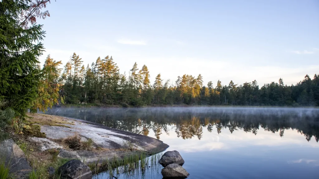
This water needs a real photo
The photo at the top of this page is not Saratoga Lake.
It is a regional stand-in, honestly captioned but generic — we will not put a name to a river we cannot prove. Send us a photograph you took here and it replaces the stand-in, with your credit on it.
Add a photo of this water
Landscape, not fish — the water itself. Reviewed by hand before it appears. The first one published here earns the Pioneer badge.
Pool right now
- 24 hours-0.12 ft ↓ falling
Reading taken 1h ago at USGS 01330884, SARATOGA LAKE AT STATE HWY 9P AT SARATOGA LAKE NY. Elevation is the surface of the lake above the survey datum, not depth. Source.
Fished this water? Add a photo
Reviewed by hand before it appears. Pick the water, not the spot — we never publish exact locations.
Access
New York State boat launch on Route 9P at the north end - the main public ramp with trailer parking.
Brown's Beach on the western shore - developed access with parking, swimming and shoreline fishing.
Saratoga Lake State Boat Launch near Manning Cove - secondary ramp on the eastern side.
Fish Creek at the outlet in Stillwater - shore access and small-boat launching on the outflow.
Kaydeross Creek inlet at the south end - shallow-water access and a productive spring area.
King's Beach and the Route 9P shoulder pull-offs - informal bank access along the west shore.
Waterfront Park in Stillwater - parking and access to the lower Fish Creek reach.
Seasons
Spring: the earliest and best walleye fishing of the year as fish move shallow, with pike active in the weedy south end.
Summer: heavy weed growth, strong largemouth fishing along the edges, and after-dark walleye trips to avoid daytime boat traffic.
Fall: smallmouth move onto the humps and the walleye fishing improves again as the water cools and the weeds die back.
Winter: a well-established ice fishery for perch, crappie, pike and walleye once the lake locks up.
From the water
No logged trips yet. Be the first to put this water on your map.
Log this water
Fished it or cleaned it? Log in or create a free account to log a trip with photos and earn the waterway badge.
Questions
What species can you catch on the Saratoga Lake?
Anglers target Black Crappie, Bluegill, Channel Catfish, Largemouth Bass, Northern Pike, Smallmouth Bass, Walleye, Yellow Perch on the Saratoga Lake in New York.
Where can you access the Saratoga Lake?
New York State boat launch on Route 9P at the north end - the main public ramp with trailer parking. Brown's Beach on the western shore - developed access with parking, swimming and shoreline fishing. Saratoga Lake State Boat Launch near Manning Cove - secondary ramp on the eastern side. Fish Creek at the outlet in Stillwater - shore access and small-boat launching on the outflow. Kaydeross Creek inlet at the south end - shallow-water access and a productive spring area. King's Beach and the Route 9P shoulder pull-offs - informal bank access along the west shore. Waterfront Park in Stillwater...
When is the best time to fish the Saratoga Lake?
Spring: the earliest and best walleye fishing of the year as fish move shallow, with pike active in the weedy south end. Summer: heavy weed growth, strong largemouth fishing along the edges, and after-dark walleye trips to avoid daytime boat traffic. Fall: smallmouth move onto the humps and the walleye fishing improves again as the water cools and the weeds die back. Winter: a well-established ice fishery for perch, crappie, pike and walleye once the lake locks up.
Where are the fishing regulations for the Saratoga Lake?
Regulations change by season and section. Read the current rules on the New York agency site: https://dec.ny.gov/things-to-do/freshwater-fishing/regulations