Little Lehigh Creek Fishing Guides
A classic eastern Pennsylvania limestone spring creek running cold and clear through the Lehigh Valley, with wild browns, technical water and famous heritage fly water in Allentown.
Map of the Little Lehigh Creek
20 numbered points: 8 bridges, 3 parks and conservation areas, 1 agency office, 4 regulation section limits, 1 hazard, 2 springs, 1 USGS gauge. Tap a marker for details. Reviewed Sep 16, 2026.
- Bridge crossing (8)
- Park / conservation area (3)
- Agency / conservation office (1)
- Regulation section limit (4)
- Dam / hazard (1)
- Spring (2)
- USGS gauge (1)
Print it. Bag it. Bring it.Phones die, screens crack, and most of this water has no signal. Print this map, fold it into a zip-top bag or dry bag with your license, and you have a backup your electronics can’t give you. Every marker is numbered so you can say exactly where you are.
Open the printable mapAll 20 points on this map
| # | Point | Type | Lat, Lon | Notes |
|---|---|---|---|---|
| 1 | Trexlertown Road bridge Upper creek at Trexlertown | Bridge crossing | 40.53431, -75.60237 | |
| 2 | USGS 01451380 — Little Lehigh Creek Live discharge and water temperature | USGS gauge | 40.53112, -75.60046 | The gauge the water page reads for flow, temperature and the percentile against the historical median. |
| 3 | Brookside Road bridge Lower Macungie crossing | Bridge crossing | 40.54226, -75.55215 | |
| 4 | Fly-fishing-only reach — upper limit Wild Cherry Lane bridge (T-508) | Regulation section limit | 40.54027, -75.54220 | Upstream end of the PFBC catch-and-release fly-fishing water, about 1.5 mi down to the Millrace Road bridge. |
| 5 | Macungie Road bridge Township crossing | Bridge crossing | 40.53309, -75.53558 | |
| 6 | Fly-fishing-only reach — lower limit Millrace Road bridge (T-510) | Regulation section limit | 40.54050, -75.52999 | Downstream end of the upper fly-fishing reach. |
| 7 | Camp Olympic Park Township park on the creek | Park / conservation area | 40.53822, -75.52243 | Parking and open bank right on the water. |
| 8 | PA 29 bridge South Cedar Crest Boulevard | Bridge crossing | 40.54057, -75.52008 | |
| 9 | Dorothy Rider Pool Wildlife Sanctuary Wildlands Conservatory | Park / conservation area | 40.54414, -75.51351 | Conserved ground on the creek above Emmaus. |
| 10 | Lower fly-fishing-only reach — upper limit Fish Hatchery Road bridge | Regulation section limit | 40.56341, -75.51219 | Upstream end of the second, shorter catch-and-release fly-fishing reach, in Lehigh Parkway. |
| 11 | Fish Hatchery, Lehigh Parkway Trout nursery beside the creek | Agency / conservation office | 40.56452, -75.51299 | Tagged simply “Fish Hatchery” in OSM; the nursery in the city parkway. |
| 12 | Lehigh Parkway City of Allentown | Park / conservation area | 40.56460, -75.50984 | The linear city park that carries the creek and its trail for most of the lower water. |
| 13 | Fireman's Bridge Lehigh Parkway footbridge | Bridge crossing | 40.56543, -75.50606 | |
| 14 | Lower fly-fishing-only reach — lower limit Near the Oxford Drive bridge | Regulation section limit | 40.56890, -75.49924 | PFBC's own wording is “near the Oxford Drive bridge”, with no defined face or point — plotted at the bridge and left as vague as the source. |
| 15 | Bogert's Bridge Historic covered bridge, Lehigh Parkway | Bridge crossing | 40.56918, -75.49862 | OSM has it tagged highway=construction — check before planning to cross it. |
| 16 | Lehigh Park Spring Named spring in the parkway | Spring | 40.58288, -75.48324 | |
| 17 | Ward Street bridge Allentown crossing | Bridge crossing | 40.59105, -75.48236 | |
| 18 | Crystal Spring Named spring on the lower creek | Spring | 40.59454, -75.48129 | |
| 19 | Little Lehigh Dam Weir on the lower creek | Dam / hazard | 40.59678, -75.47391 | Named dam in Allentown — the last obstruction above the Lehigh River. |
| 20 | PA 145 bridge Lehigh Street, Allentown | Bridge crossing | 40.59707, -75.46714 | About 2 km above the Lehigh River confluence. |
Guides on the Little Lehigh Creek
Claimed profiles take booking requests. Unclaimed profiles are built from public records so the river is never empty; the guide can claim or remove one any time.
No guides listed yet
Guide or outfit this water? Create your profile. Listing is free, the commission is 10% or 7% with a premium profile, and premium profiles list first on this water.
About the Little Lehigh Creek
The Little Lehigh is a limestoner in the true sense. It rises from limestone springs in the farm country west of Allentown, gathers more spring flow as it runs east through Trexlertown and Emmaus, and reaches the Lehigh River after about twenty miles. Because the water comes out of the ground rather than off a mountain, it holds a narrow temperature range all year: cool enough for trout through August heat, warm enough to stay open and fishable through most of the winter. That stability is the whole character of the stream and the reason it fishes when the surrounding freestone water does not.
The water is rich, alkaline and weedy, which means heavy insect life and heavy fish, but also very clear water and correspondingly cautious trout. This is technical fishing. Long fine leaders, small flies, careful wading and a slow approach are the standard, and sulphurs, tricos, blue-winged olives and a serious midge fishery matter more than large attractor patterns. Wild brown trout hold throughout, and the stream is supported by stocking in the more heavily fished reaches. The heritage fly-fishing water at the Little Lehigh Parkway in Allentown is among the best known trout water in the eastern part of the state.
What makes it unusual is how urban most of it is. The creek runs through parkland, suburb and city, with paved trails alongside much of the lower reach, and it is fished heavily and year round. Anglers who want solitude should work the upper agricultural sections and the shoulder hours. This gauge reports water temperature as well as discharge, which on a spring creek is the single most useful reading you can have, because it confirms in one number whether the springs are still doing their work through a hot spell.
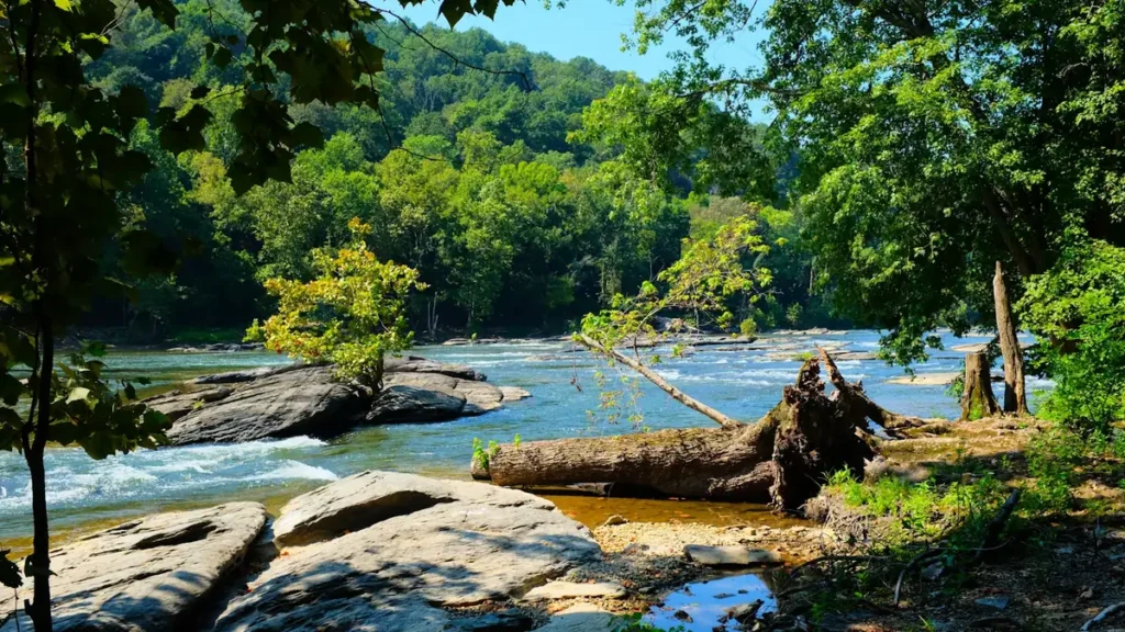
This water needs a real photo
The photo at the top of this page is not Little Lehigh Creek.
It is a regional stand-in, honestly captioned but generic — we will not put a name to a river we cannot prove. Send us a photograph you took here and it replaces the stand-in, with your credit on it.
Add a photo of this water
Landscape, not fish — the water itself. Reviewed by hand before it appears. The first one published here earns the Pioneer badge.
Fished this water? Add a photo
Reviewed by hand before it appears. Pick the water, not the spot — we never publish exact locations.
Access
Little Lehigh Parkway in Allentown - the heritage fly-fishing area, with parking, trail access and the best-known water.
Wild Cherry Lane and the fish hatchery area - upper parkway access with parking.
Bogert's Bridge covered bridge access - convenient mid-parkway parking and walkable bank.
Route 222 crossing near Trexlertown - upper creek access near the gauge and the spring sources.
Mill Race Park in Emmaus - town park access with parking on the middle creek.
Leaser Road and Spring Creek Road pull-offs - roadside access on the upper agricultural reach.
Lehigh Parkway trailheads off Fish Hatchery Road - multiple parking areas along the lower creek.
Seasons
Spring: the strongest hatches of the year, with sulphurs and olives bringing consistent dry fly fishing through May and June.
Summer: spring flow keeps the creek cool and fishable when nearby freestone streams are too warm, best fished early with tiny flies.
Fall: cooling water, aggressive browns before the spawn, and much lighter pressure on the upper reaches after Labor Day.
Winter: the creek stays open and fishes all winter on midges, one of the few reliable cold-weather trout options in the region.
From the water
No logged trips yet. Be the first to put this water on your map.
Log this water
Fished it or cleaned it? Log in or create a free account to log a trip with photos and earn the waterway badge.
Questions
What is the current flow on the Little Lehigh Creek?
As of Sep 17, 6:15 am, the USGS gauge Little Lehigh Creek near Trexlertown, PA reads 1 cfs, with water temperature 65.5 F. Conditions update every 15 minutes.
What species can you catch on the Little Lehigh Creek?
Anglers target Brook Trout, Brown Trout, Rainbow Trout on the Little Lehigh Creek in Pennsylvania.
Where can you access the Little Lehigh Creek?
Little Lehigh Parkway in Allentown - the heritage fly-fishing area, with parking, trail access and the best-known water. Wild Cherry Lane and the fish hatchery area - upper parkway access with parking. Bogert's Bridge covered bridge access - convenient mid-parkway parking and walkable bank. Route 222 crossing near Trexlertown - upper creek access near the gauge and the spring sources. Mill Race Park in Emmaus - town park access with parking on the middle creek. Leaser Road and Spring Creek Road pull-offs - roadside access on the upper agricultural reach. Lehigh Parkway trailheads off Fish Hatc...
When is the best time to fish the Little Lehigh Creek?
Spring: the strongest hatches of the year, with sulphurs and olives bringing consistent dry fly fishing through May and June. Summer: spring flow keeps the creek cool and fishable when nearby freestone streams are too warm, best fished early with tiny flies. Fall: cooling water, aggressive browns before the spawn, and much lighter pressure on the upper reaches after Labor Day. Winter: the creek stays open and fishes all winter on midges, one of the few reliable cold-weather trout options in the region.
Where are the fishing regulations for the Little Lehigh Creek?
Regulations change by season and section. Read the current rules on the Pennsylvania agency site: https://www.pa.gov/agencies/fishandboat/fishing/regulations