San Joaquin River Fishing Guides
A cold tailwater below Friant Dam that has been rebuilt by a court-ordered restoration flow program, with wild rainbows in the upper reach and a long warmwater river below.
Map of the San Joaquin River
13 numbered points: 1 access point, 2 bait & fly shops, 5 parks and conservation areas, 1 agency office, 2 hazards, 2 USGS gauges. Tap a marker for details. Reviewed Oct 23, 2026.
- Access / boat ramp (1)
- Bait, tackle & fly shop (2)
- Park / conservation area (5)
- Agency / conservation office (1)
- Dam / hazard (2)
- USGS gauge (2)
Print it. Bag it. Bring it.Phones die, screens crack, and most of this water has no signal. Print this map, fold it into a zip-top bag or dry bag with your license, and you have a backup your electronics can’t give you. Every marker is numbered so you can say exactly where you are.
Open the printable mapAll 13 points on this map
| # | Point | Type | Lat, Lon | Notes |
|---|---|---|---|---|
| 1 | Friant Dam Head of the tailwater, Millerton Lake above | Dam / hazard | 37.00055, -119.70511 | No passage. The restored flow regime on the river below starts with releases from this dam. |
| 2 | USGS gauge - San Joaquin River below Friant Site 11251000 | USGS gauge | 36.98439, -119.72431 | The release gauge for the tailwater; the number to read before fishing or floating the upper reach. |
| 3 | San Joaquin Hatchery CDFW hatchery below Friant Dam | Agency / conservation office | 36.98893, -119.71446 | State trout hatchery on the north bank a short way below the dam. |
| 4 | Lost Lake Recreation Area Fresno County park below Friant Dam | Access / boat ramp | 36.97416, -119.73154 | Day-use park and campground on the first river bend below the dam; the usual starting point for the upper tailwater. |
| 5 | Lost Lake Drive Inn & Tackle Shop Tackle on the Lost Lake road | Bait, tackle & fly shop | 36.97431, -119.72518 | Small tackle counter and drive-in on the approach to Lost Lake, the closest shop to the dam. |
| 6 | K'uik'ui Ranch (formerly Ball Ranch) San Joaquin River Parkway and Conservation Trust | Park / conservation area | 36.93849, -119.73859 | Parkway property with river frontage and trails on the gravel-pit reach. |
| 7 | Jensen River Ranch San Joaquin River Conservancy | Park / conservation area | 36.87606, -119.78434 | Conservancy river ranch at the Fresno end of the Parkway, with trail and bank access. |
| 8 | Eaton Trail Park Fresno County Parks | Park / conservation area | 36.87984, -119.77984 | Trailhead park on the bluff above the river, linking the Parkway properties. |
| 9 | Woodward Park City of Fresno | Park / conservation area | 36.86737, -119.78526 | Large city park on the south bluff; the main parking and trail entry to the Fresno river reach. |
| 10 | Sportsman's Warehouse Tackle and licenses, Friant Road | Bait, tackle & fly shop | 36.85605, -119.78261 | Nearest full tackle counter to the Parkway, on Friant Road above Woodward Park. |
| 11 | Mendota Dam Bottom of the restored reach | Dam / hazard | 36.78812, -120.37279 | Diversion dam forming Mendota Pool. No passage; the restoration flows are routed out of the river here. |
| 12 | Mendota Pool Park Bank access at Mendota Pool | Park / conservation area | 36.77953, -120.37336 | Small public park on the pool above the dam. |
| 13 | USGS gauge - San Joaquin River near Mendota Site 11254000 | USGS gauge | 36.81050, -120.37823 | Lower gauge on the restored reach, above Mendota Dam. |
Guides on the San Joaquin River
Claimed profiles take booking requests. Unclaimed profiles are built from public records so the river is never empty; the guide can claim or remove one any time.
Order on this page: premium and outfitter plans first (labelled Premium placement), then claimed free profiles, then unclaimed — one published price, no bidding for position. How placement works
About the San Joaquin River
The San Joaquin below Friant Dam is one of the most closely managed rivers in California, and it fishes better now than it has in most living anglers’ memory. Water leaves the bottom of Millerton Lake cold and clear, and the first several miles below the dam hold a genuine tailwater trout fishery on a river that for decades ran dry a short distance downstream. The San Joaquin River Restoration Program has been putting water back down the channel since 2009 under a settlement that ended nearly twenty years of litigation, and the reach has responded with better insect life, better holding water and better fish.
The upper tailwater is the trout water. Rainbows hold in the riffle corners and the deeper glides in the first eight or ten miles, and they are strong, well fed and used to steady flow rather than seasonal collapse. There are brown trout in the mix. Below the trout reach the river turns warm and slow, and the fishery becomes striped bass, black bass and catfish through the valley bottom. Guided trips split along the same line: fly work and light spinning gear up high, and bass and striper fishing on the lower river.
The gauge sits immediately below Friant Dam and reports discharge, stage and water temperature, which makes it unusually useful here. Restoration releases are scheduled rather than weather-driven, so flow can change sharply on a management calendar with no rain anywhere in the watershed. Read the gauge before driving, and read it again the morning of a trip. Access below the dam is a patchwork of public river parks and private valley farmland, and a great deal of the middle river cannot legally be reached from the bank.
This water needs a real photo
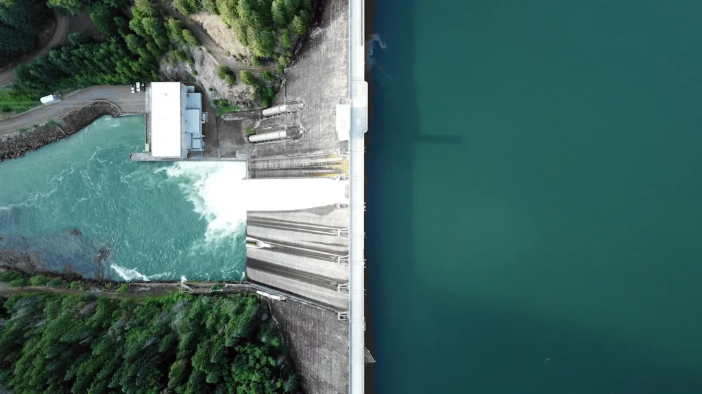
The photo at the top of this page is not San Joaquin River.
It is a regional stand-in, honestly captioned but generic — we will not put a name to a river we cannot prove. Send us a photograph you took here and it replaces the stand-in, with your credit on it.
Add a photo of this water
Landscape, not fish — the water itself. Reviewed by hand before it appears. The first one published here earns the Pioneer badge.
Fished this water? Add a photo
Reviewed by hand before it appears. Pick the water, not the spot — we never publish exact locations.
Access
Lost Lake Recreation Area below Friant Dam - the main public access to the cold tailwater reach.
Winchell Cove and the Millerton Lake south shore - launching for the impoundment above the dam.
Camp Pashayan and the Fresno river parks - bank access along the north Fresno reach.
Highway 41 river access near Lanes Bridge - walk-in water and a common float take-out.
Sycamore Island - fee access to a long stretch of the middle river through private ground.
Skaggs Bridge Park near Kerman - lower-river bank fishing and small-boat launching.
Mendota Pool and Highway 180 - warmwater access on the lower river for stripers and catfish.
Seasons
Spring: strong restoration releases and good trout fishing in the tailwater, with stripers moving up the lower river.
Summer: cold water holds in the upper reach while the valley river warms hard - fish early and high.
Fall: falling releases, clearer water and the best wading conditions of the year below the dam.
Winter: low, stable flows, technical trout fishing up top and a quiet lower river.
From the water
No logged trips yet. Be the first to put this water on your map.
Log this water
Fished it or cleaned it? Log in or create a free account to log a trip with photos and earn the waterway badge.
Questions
What is the current flow on the San Joaquin River?
As of Oct 25, 7:30 am, the USGS gauge SAN JOAQUIN R BL FRIANT CA reads 396 cfs, with water temperature 56.3 F. Conditions update every 15 minutes.
What species can you catch on the San Joaquin River?
Anglers target Brown Trout, Channel Catfish, Largemouth Bass, Rainbow Trout, Sacramento Pikeminnow, Sacramento Sucker, Smallmouth Bass, Striped Bass on the San Joaquin River in California.
Are there fishing guides on the San Joaquin River?
GuidedFloats lists 1 guide and outfitters on the San Joaquin River. Claimed profiles accept booking requests; unclaimed profiles are built from public records and link to the business.
Where can you access the San Joaquin River?
Lost Lake Recreation Area below Friant Dam - the main public access to the cold tailwater reach. Winchell Cove and the Millerton Lake south shore - launching for the impoundment above the dam. Camp Pashayan and the Fresno river parks - bank access along the north Fresno reach. Highway 41 river access near Lanes Bridge - walk-in water and a common float take-out. Sycamore Island - fee access to a long stretch of the middle river through private ground. Skaggs Bridge Park near Kerman - lower-river bank fishing and small-boat launching. Mendota Pool and Highway 180 - warmwater access on the lower...
When is the best time to fish the San Joaquin River?
Spring: strong restoration releases and good trout fishing in the tailwater, with stripers moving up the lower river. Summer: cold water holds in the upper reach while the valley river warms hard - fish early and high. Fall: falling releases, clearer water and the best wading conditions of the year below the dam. Winter: low, stable flows, technical trout fishing up top and a quiet lower river.
Where are the fishing regulations for the San Joaquin River?
Regulations change by season and section. Read the current rules on the California agency site: https://wildlife.ca.gov/Fishing/Inland/Regulations