Shasta River Fishing Guides
A spring-fed Klamath tributary in the shadow of Mount Shasta, historically one of the most productive salmon streams in California and now closely regulated.
Guides on the Shasta River
Claimed profiles take booking requests. Unclaimed profiles are built from public records so the river is never empty; the guide can claim or remove one any time.
No guides listed yet
Guide or outfit this water? Create your profile. Listing is free, the commission is 10% or 7% with a premium profile, and premium profiles list first on this water.
About the Shasta River
The Shasta River runs north through the Shasta Valley with Mount Shasta filling the skyline behind it, then drops into a short steep canyon to meet the Klamath below Yreka. It is not a big river, and for most of its length it looks like a modest spring creek winding through ranch country, cold and clear where the volcanic springs feed it and slower and warmer where irrigation return water comes back in. That spring influence is what made it historically one of the most productive salmon streams per mile anywhere in California, and it is also why the modern river is such a closely studied and closely managed piece of water.
The fishery is a Klamath tributary fishery. Fall chinook run the lower river and the canyon, steelhead follow them through the winter, and the drainage carries coho, which is the reason regulations here are detailed and change with conditions. There is resident rainbow water as well, some of it genuinely good where the springs hold temperatures down through summer. Much of the valley reach runs through private ranch land, so access is the real constraint rather than fish: the canyon and the public crossings carry most of the angling pressure. Anyone planning a trip should read the current California regulations for the Klamath tributaries first, because seasonal closures and gear restrictions on this river are the norm rather than the exception.
The gauge near Montague reads the valley river above the canyon and is the flow to plan against. The Shasta is heavily influenced by irrigation withdrawal, so the summer trace drops far lower than rainfall alone would explain, and low flow combined with warm valley water is the limiting factor for fish through the hot months. In winter it is the freshet trace that matters: a storm bump that opens the river to migrating fish, followed by a drop into fishable clarity. No temperature sensor publishes at this site.
This water needs a real photo
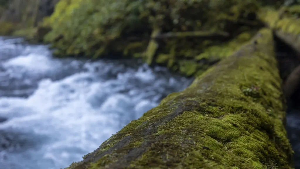
The photo at the top of this page is not Shasta River.
It is a regional stand-in, honestly captioned but generic — we will not put a name to a river we cannot prove. Send us a photograph you took here and it replaces the stand-in, with your credit on it.
Add a photo of this water
Landscape, not fish — the water itself. Reviewed by hand before it appears. The first one published here earns the Pioneer badge.
Fished this water? Add a photo
Reviewed by hand before it appears. Pick the water, not the spot — we never publish exact locations.
Access
Highway 263 canyon pullouts below Yreka - the main public access to the lower canyon.
Shasta River access near the Klamath confluence - walk-in fishing at the mouth.
Montague-Grenada Road crossing - the closest bank access to the gauge.
Highway 3 crossing near Yreka - a public bridge access to the valley reach.
Anderson Grade Road crossing - upper valley walk-in access.
Klamath River Highway 96 ramps near the confluence - boat access to the mainstem at the mouth.
Big Springs Road crossing - upper river access near the spring complex.
Seasons
Spring: clearing flows and resident rainbow fishing where public access allows.
Summer: low, warm and irrigation-depleted, with restrictions likely and the fishing poor.
Fall: chinook push into the lower river and canyon with the first cool weather.
Winter: steelhead in the canyon on the drop after each storm, weather permitting.
From the water
No logged trips yet. Be the first to put this water on your map.
Log this water
Fished it or cleaned it? Log in or create a free account to log a trip with photos and earn the waterway badge.
Questions
What is the current flow on the Shasta River?
As of Sep 17, 6:30 am, the USGS gauge SHASTA R NR MONTAGUE CA reads 76 cfs. Conditions update every 15 minutes.
What species can you catch on the Shasta River?
Anglers target Brown Trout, Chinook Salmon, Coho Salmon, Rainbow Trout, Steelhead on the Shasta River in California.
Where can you access the Shasta River?
Highway 263 canyon pullouts below Yreka - the main public access to the lower canyon. Shasta River access near the Klamath confluence - walk-in fishing at the mouth. Montague-Grenada Road crossing - the closest bank access to the gauge. Highway 3 crossing near Yreka - a public bridge access to the valley reach. Anderson Grade Road crossing - upper valley walk-in access. Klamath River Highway 96 ramps near the confluence - boat access to the mainstem at the mouth. Big Springs Road crossing - upper river access near the spring complex.
When is the best time to fish the Shasta River?
Spring: clearing flows and resident rainbow fishing where public access allows. Summer: low, warm and irrigation-depleted, with restrictions likely and the fishing poor. Fall: chinook push into the lower river and canyon with the first cool weather. Winter: steelhead in the canyon on the drop after each storm, weather permitting.
Where are the fishing regulations for the Shasta River?
Regulations change by season and section. Read the current rules on the California agency site: https://wildlife.ca.gov/Regulations