Carmel River Fishing Guides
A short Monterey County coastal river at the centre of one of the longest-running steelhead restoration efforts in California, with strictly limited angling.
Guides on the Carmel River
Claimed profiles take booking requests. Unclaimed profiles are built from public records so the river is never empty; the guide can claim or remove one any time.
No guides listed yet
Guide or outfit this water? Create your profile. Listing is free, the commission is 10% or 7% with a premium profile, and premium profiles list first on this water.
About the Carmel River
The Carmel River runs about thirty-six miles from the Santa Lucia Range through Carmel Valley to the sea at Carmel Bay, and few rivers of that size in the United States have been fought over so thoroughly or studied so closely. It supports a run of South-Central California Coast steelhead, a federally threatened population, and for decades the river’s flow was so heavily drawn for municipal water supply that the run came close to disappearing entirely. The removal of San Clemente Dam in 2015 – at the time the largest dam removal in California history – reopened miles of spawning habitat and reconnected the river to its upper watershed.
Anglers should approach this river with their eyes open. It is not a general-purpose fishery and it is not managed as one. Angling on the Carmel is tightly regulated, seasons and closures change, and substantial reaches are closed outright to protect steelhead and their juveniles. Resident rainbow trout live in the upper river and its tributaries, and Sacramento suckers are common throughout. Anyone planning to fish here must read the current California freshwater sport fishing regulations for this specific watershed before going, and should expect restrictions rather than opportunity.
The value of the Carmel for most visitors is as a place to understand a river being put back together. The removal site is accessible, the restored reach is visible, and the lagoon at the mouth is one of the better spots on the central coast for watching the estuary function as nursery habitat.
The gauge near Carmel reports discharge, stage and stream velocity but carries no temperature sensor. The discharge trace matters here in a way it does not on most rivers, because whether the sandbar at the mouth is open – and therefore whether steelhead can enter at all – depends directly on winter flow.
This water needs a real photo
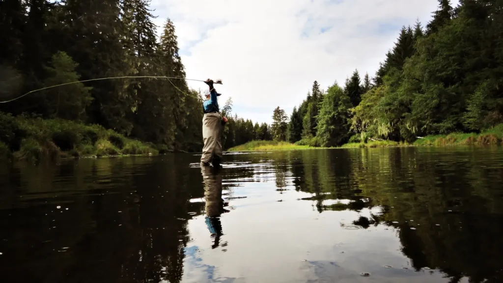
The photo at the top of this page is not Carmel River.
It is a regional stand-in, honestly captioned but generic — we will not put a name to a river we cannot prove. Send us a photograph you took here and it replaces the stand-in, with your credit on it.
Add a photo of this water
Landscape, not fish — the water itself. Reviewed by hand before it appears. The first one published here earns the Pioneer badge.
Fished this water? Add a photo
Reviewed by hand before it appears. Pick the water, not the spot — we never publish exact locations.
Access
Garland Ranch Regional Park - the main public river frontage in Carmel Valley.
Carmel River State Beach - access to the lagoon and river mouth.
San Clemente Dam removal site - interpretive access to the restored reach.
Carmel Valley Village river access - limited public frontage in the mid valley.
Los Padres National Forest boundary - upper watershed walk-in access.
Palo Corona Regional Park - trail access with river views near the mouth.
Rosies Bridge area - roadside access on the middle river.
Seasons
Spring: juvenile steelhead rear in the river; most reaches are closed and flows are dropping.
Summer: low and warm, with the mouth typically closed by a sandbar and the river largely unfishable.
Fall: flows at their lowest before winter rains; the estuary is the most active part of the system.
Winter: the season that matters - rains open the mouth and adult steelhead enter, under strict regulation.
From the water
No logged trips yet. Be the first to put this water on your map.
Log this water
Fished it or cleaned it? Log in or create a free account to log a trip with photos and earn the waterway badge.
Questions
What species can you catch on the Carmel River?
Anglers target Rainbow Trout, Sacramento Sucker, Steelhead on the Carmel River in California.
Where can you access the Carmel River?
Garland Ranch Regional Park - the main public river frontage in Carmel Valley. Carmel River State Beach - access to the lagoon and river mouth. San Clemente Dam removal site - interpretive access to the restored reach. Carmel Valley Village river access - limited public frontage in the mid valley. Los Padres National Forest boundary - upper watershed walk-in access. Palo Corona Regional Park - trail access with river views near the mouth. Rosies Bridge area - roadside access on the middle river.
When is the best time to fish the Carmel River?
Spring: juvenile steelhead rear in the river; most reaches are closed and flows are dropping. Summer: low and warm, with the mouth typically closed by a sandbar and the river largely unfishable. Fall: flows at their lowest before winter rains; the estuary is the most active part of the system. Winter: the season that matters - rains open the mouth and adult steelhead enter, under strict regulation.
Where are the fishing regulations for the Carmel River?
Regulations change by season and section. Read the current rules on the California agency site: https://wildlife.ca.gov/Regulations