Kettle River Fishing Guides
Minnesota's first state-designated Wild and Scenic river, cutting sandstone gorges through Banning State Park with smallmouth in every pocket.
Map of the Kettle River
10 numbered points: 2 access points, 1 campsite, 4 parks and conservation areas, 1 agency office, 1 regulation section limit, 1 USGS gauge. Tap a marker for details. Reviewed Oct 23, 2026.
- Access / boat ramp (2)
- Campsite (1)
- Park / conservation area (4)
- Agency / conservation office (1)
- Regulation section limit (1)
- USGS gauge (1)
Print it. Bag it. Bring it.Phones die, screens crack, and most of this water has no signal. Print this map, fold it into a zip-top bag or dry bag with your license, and you have a backup your electronics can’t give you. Every marker is numbered so you can say exactly where you are.
Open the printable mapAll 10 points on this map
| # | Point | Type | Lat, Lon | Notes |
|---|---|---|---|---|
| 1 | Kettle River State Wild and Scenic River Carlton-Pine county line to the St. Croix | Regulation section limit | 46.41649, -92.88232 | State-designated wild and scenic reach: from the Carlton-Pine county line downstream to the confluence with the St. Croix River. |
| 2 | Sturgeon Lake Wildlife Management Area Minnesota DNR wildlife management area | Park / conservation area | 46.38647, -92.86639 | State WMA on the east side of the river above Willow River. |
| 3 | Willow River City Park City park, Willow River | Park / conservation area | 46.31802, -92.84101 | Town park a short walk from the river in Willow River. |
| 4 | Banning State Park headquarters Park office and ranger station | Agency / conservation office | 46.17343, -92.84970 | Staffed park office for Banning State Park; permits and river conditions. |
| 5 | Banning State Park Campground State park campground | Campsite | 46.15657, -92.85499 | Drive-in campground inside Banning State Park, above the Sandstone rapids. |
| 6 | Robinson Park Concrete ramp, Sandstone | Access / boat ramp | 46.13165, -92.85891 | City of Sandstone river park; DNR lists a concrete ramp here, with rapids just downstream at the old dam site. |
| 7 | USGS 05336700 Kettle River below Sandstone USGS streamgauge | USGS gauge | 46.10519, -92.86431 | Stage and discharge for the lower Kettle. |
| 8 | Sandstone Wildlife Management Area Minnesota DNR wildlife management area | Park / conservation area | 46.08831, -92.84073 | State WMA on the river below Sandstone. |
| 9 | Kettle River Wildlife Management Area Minnesota DNR wildlife management area | Park / conservation area | 46.00963, -92.83792 | State WMA on the bank in the lowest reach, above St. Croix State Park. |
| 10 | Maple Island Carry-in access, St. Croix State Park | Access / boat ramp | 45.94517, -92.77703 | Carry-in landing near the mouth, inside St. Croix State Park. |
Guides on the Kettle River
Claimed profiles take booking requests. Unclaimed profiles are built from public records so the river is never empty; the guide can claim or remove one any time.
No guides listed yet
Guide or outfit this water? Create your profile. Listing is free, the commission is 10% or 7% with a premium profile, and premium profiles list first on this water.
About the Kettle River
The Kettle was the first river Minnesota designated under its Wild and Scenic Rivers Act, and the reach below Sandstone shows why. The river cuts through soft sandstone here, carving a gorge with ledges, chutes and the deep potholes that give the river its name. Banning State Park protects the most dramatic section, where the rapids run through names like Blueberry Slide, Mother’s Delight, Dragon’s Tooth and Hell’s Gate. It is the best known whitewater in the state and it is genuinely serious water at high flows.
For anglers the appeal is smallmouth bass. The Kettle’s rock and ledge structure is exactly what smallmouth want, and the river holds them through its length in good numbers and respectable size. They hold in the pocket water behind boulders, at the tailouts of the chutes and along the sandstone walls. Walleye run the deeper pools and the lower river toward the St. Croix. Northern pike work the slower stretches and the backwaters, and channel catfish occupy the deep holes.
The lower river holds something more unusual. Lake sturgeon move up out of the St. Croix system, and the Kettle is part of a basin where sturgeon restoration has made real progress over recent decades. They are a catch and release proposition with tightly controlled seasons, but hooking one is a genuine event on a river this size.
Flow governs everything here. At spring levels the gorge is a whitewater run rather than a fishing river, and the rapids in Banning are for experienced paddlers with the right equipment. By midsummer the river drops into a wadeable, very fishable state and the same rapids become rock gardens. Check the gauge before planning either kind of day, and treat the gorge section with respect regardless of the season.
This water needs a real photo
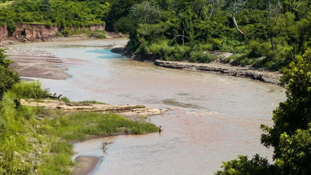
The photo at the top of this page is not Kettle River.
It is a regional stand-in, honestly captioned but generic — we will not put a name to a river we cannot prove. Send us a photograph you took here and it replaces the stand-in, with your credit on it.
Add a photo of this water
Landscape, not fish — the water itself. Reviewed by hand before it appears. The first one published here earns the Pioneer badge.
Fished this water? Add a photo
Reviewed by hand before it appears. Pick the water, not the spot — we never publish exact locations.
Access
Sandstone - the gauge reach and the most convenient river access.
Banning State Park - the gorge, the rapids and the best developed access on the river.
Big Spring Falls, Banning State Park - walk-in access to the sandstone ledge water.
Robinson Park, Sandstone - park access with a launch above the gorge.
Kettle River Highway 23 crossing - bridge access on the upper river.
Hinckley area - lower river access toward the St. Croix confluence.
Kettle River State Water Trail landings - designated paddle access through the corridor.
Seasons
Spring: high water, serious whitewater in the gorge and difficult fishing conditions.
Summer: the prime season, with wadeable flows and excellent smallmouth fishing.
Fall: cooling water, aggressive smallmouth and the best color in the sandstone corridor.
Winter: iced over through most of the season with very limited access.
From the water
No logged trips yet. Be the first to put this water on your map.
Log this water
Fished it or cleaned it? Log in or create a free account to log a trip with photos and earn the waterway badge.
Questions
What is the current flow on the Kettle River?
As of Nov 2, 7:00 am, the USGS gauge KETTLE RIVER BELOW SANDSTONE, MN reads 141 cfs. Conditions update every 15 minutes.
What species can you catch on the Kettle River?
Anglers target Channel Catfish, Lake Sturgeon, Muskellunge, Northern Pike, Rock Bass, Smallmouth Bass, Walleye, White Sucker on the Kettle River in Minnesota.
Where can you access the Kettle River?
Sandstone - the gauge reach and the most convenient river access. Banning State Park - the gorge, the rapids and the best developed access on the river. Big Spring Falls, Banning State Park - walk-in access to the sandstone ledge water. Robinson Park, Sandstone - park access with a launch above the gorge. Kettle River Highway 23 crossing - bridge access on the upper river. Hinckley area - lower river access toward the St. Croix confluence. Kettle River State Water Trail landings - designated paddle access through the corridor.
When is the best time to fish the Kettle River?
Spring: high water, serious whitewater in the gorge and difficult fishing conditions. Summer: the prime season, with wadeable flows and excellent smallmouth fishing. Fall: cooling water, aggressive smallmouth and the best color in the sandstone corridor. Winter: iced over through most of the season with very limited access.
Where are the fishing regulations for the Kettle River?
Regulations change by season and section. Read the current rules on the Minnesota agency site: https://www.dnr.state.mn.us/regulations/fishing/index.html