Saugus River Fishing Guides
The tidal Saugus and the Rumney Marsh behind it, a north-of-Boston estuary that holds striped bass from April to November within sight of Route 1.
Guides on the Saugus River
Claimed profiles take booking requests. Unclaimed profiles are built from public records so the river is never empty; the guide can claim or remove one any time.
No guides listed yet
Guide or outfit this water? Create your profile. Listing is free, the commission is 10% or 7% with a premium profile, and premium profiles list first on this water.
About the Saugus River
The Saugus River runs a short course from the Saugus and Wakefield ponds down to Lynn Harbor and Broad Sound, north of Boston. The gauge at the Saugus Iron Works reads discharge and stage at the head of tide. Below that point the river becomes a tidal channel winding through the Rumney Marsh, one of the largest remaining salt marshes in eastern Massachusetts and a designated Area of Critical Environmental Concern.
The marsh is the reason the fishing is as good as it is. Rumney Marsh covers several square miles of spartina, tidal creeks and mud flats, and it produces an enormous volume of forage: grass shrimp, silversides, mummichogs and juvenile herring. Every ebb tide flushes that bait out through a limited number of channels and cuts, and striped bass position themselves at those choke points to feed.
Striped bass are the fishery and they are present from April into November. Most are schoolies in the twenty to thirty inch range, but larger fish work the deeper channels at night, and the sheer reliability of the water makes up for the average size. Bluefish arrive in summer and will push well up into the marsh. White perch hold in the brackish middle reach, American eel are abundant, and chain pickerel live in the fresher water above the head of tide.
Access is easy and mostly urban. The Iron Works National Historic Site offers parking and bank access at the gauge, there are landings on the lower river, and the marsh channels are excellent kayak water on a planned tide.
The marsh is the fishery and it is also the hazard. Channels shift, mud is deep and soft, and a falling tide will strand a kayak far from anywhere in a hurry. Plan on the tide, carry a light for the walk out, and stay in the channels rather than crossing the flats. Tidal current at the bridges is strong enough to matter.
This water needs a real photo
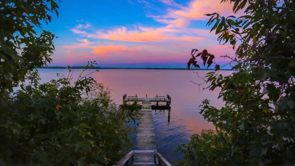
The photo at the top of this page is not Saugus River.
It is a regional stand-in, honestly captioned but generic — we will not put a name to a river we cannot prove. Send us a photograph you took here and it replaces the stand-in, with your credit on it.
Add a photo of this water
Landscape, not fish — the water itself. Reviewed by hand before it appears. The first one published here earns the Pioneer badge.
Fished this water? Add a photo
Reviewed by hand before it appears. Pick the water, not the spot — we never publish exact locations.
Access
Saugus Iron Works - the gauge reach at the head of tide, with parking and bank access.
Rumney Marsh - the tidal marsh channels below Saugus, kayak water.
Belle Isle Marsh Reservation - protected marsh at the southern end with trails.
Lynn Harbor - the open water at the river mouth.
Pines River - the main marsh tributary joining from the north.
Revere Beach - the barrier shoreline south of the river mouth.
Saugus River bridge - structure and current on the lower tidal river.
Seasons
Spring: stripers arrive in April and feed hard in the marsh channels through June.
Summer: schoolies and bluefish, best on the ebb at the channel mouths, often at night.
Fall: the strongest month as bait pours out of the marsh ahead of the migration.
Winter: the estuary empties and fishing effectively stops until spring.
From the water
No logged trips yet. Be the first to put this water on your map.
Log this water
Fished it or cleaned it? Log in or create a free account to log a trip with photos and earn the waterway badge.
Questions
What is the current flow on the Saugus River?
As of Sep 17, 6:40 am, the USGS gauge SAUGUS RIVER AT SAUGUS IRONWORKS AT SAUGUS, MA reads 2 cfs. Conditions update every 15 minutes.
What species can you catch on the Saugus River?
Anglers target American Eel, Bluefish, Chain Pickerel, Striped Bass, White Perch on the Saugus River in Massachusetts.
Where can you access the Saugus River?
Saugus Iron Works - the gauge reach at the head of tide, with parking and bank access. Rumney Marsh - the tidal marsh channels below Saugus, kayak water. Belle Isle Marsh Reservation - protected marsh at the southern end with trails. Lynn Harbor - the open water at the river mouth. Pines River - the main marsh tributary joining from the north. Revere Beach - the barrier shoreline south of the river mouth. Saugus River bridge - structure and current on the lower tidal river.
When is the best time to fish the Saugus River?
Spring: stripers arrive in April and feed hard in the marsh channels through June. Summer: schoolies and bluefish, best on the ebb at the channel mouths, often at night. Fall: the strongest month as bait pours out of the marsh ahead of the migration. Winter: the estuary empties and fishing effectively stops until spring.
Where are the fishing regulations for the Saugus River?
Regulations change by season and section. Read the current rules on the Massachusetts agency site: https://www.mass.gov/recreational-saltwater-fishing