Chevelon Creek Fishing Guides
A remote Mogollon Rim canyon stream below Chevelon Canyon Lake, with wild brown trout and a genuinely hard walk in to reach them.
Guides on the Chevelon Creek
Claimed profiles take booking requests. Unclaimed profiles are built from public records so the river is never empty; the guide can claim or remove one any time.
No guides listed yet
Guide or outfit this water? Create your profile. Listing is free, the commission is 10% or 7% with a premium profile, and premium profiles list first on this water.
About the Chevelon Creek
Chevelon Creek drains the Mogollon Rim country south of Winslow, running north through a deep and largely roadless canyon before joining the Little Colorado River. The reach that matters to anglers lies below Chevelon Canyon Lake, where the creek runs cold and clear through a basalt and sandstone gorge with very little in the way of trail and almost nothing in the way of easy access.
This is genuinely remote water by Arizona standards. The canyon is narrow and deep, the rim roads end well short of the creek in most places, and reaching the good water means a descent of several hundred feet down a loose slope followed by boulder-hopping along the creek bed. The reward is a stream that sees a tiny fraction of the pressure that the Rim’s road-accessible creeks absorb.
Brown trout are the fish here and they are wild, self-sustaining and notably better conditioned than the small-stream average, holding in deep pools beneath basalt ledges and undercut sandstone. Rainbows are present, largely as escapees and holdovers from the lake above. The combination of cold spring-fed water, a productive canyon and very light fishing pressure produces fish that are worth the walk in.
Chevelon Canyon Lake above is itself a walk-in fishery with a strong reputation and special tackle rules, and the two are often fished on the same trip. The creek below the dam holds water through the summer when many Rim streams are struggling, which is the main practical argument for making the effort in July and August rather than waiting for autumn.
Plan this one properly. There is no cell service in the canyon, the descent routes are unmarked and easy to lose on the way out, summer thunderstorms over the Rim can raise the creek quickly, and the nearest help is a long way off. Carry more water than seems necessary for the climb out, tell somebody the plan, and give yourself a generous margin of daylight. Fished with that respect it is one of the better small-stream experiences in the state.
This water needs a real photo
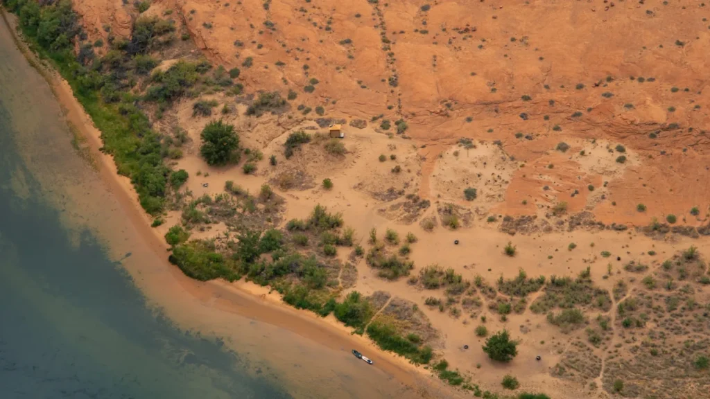
The photo at the top of this page is not Chevelon Creek.
It is a regional stand-in, honestly captioned but generic — we will not put a name to a river we cannot prove. Send us a photograph you took here and it replaces the stand-in, with your credit on it.
Add a photo of this water
Landscape, not fish — the water itself. Reviewed by hand before it appears. The first one published here earns the Pioneer badge.
Fished this water? Add a photo
Reviewed by hand before it appears. Pick the water, not the spot — we never publish exact locations.
Access
Chevelon Canyon Lake - the walk-in reservoir above the creek, with special tackle regulations.
Chevelon Crossing - the forest road crossing giving the most straightforward creek access.
Apache-Sitgreaves National Forest - the public ground covering the canyon and the Rim.
Forest Road 504 - the main route toward the canyon rim from the Heber side.
Winslow - the nearest town of any size, north of the drainage on Interstate 40.
Heber-Overgaard - the Rim community south of the canyon with services and fuel.
Woods Canyon Lake - the neighboring Rim lake, a common staging point for the area.
Seasons
Spring: snowmelt off the Rim with high flows, and the canyon descent slick and difficult.
Summer: the creek holds cold water when others thin, but heat and thunderstorms demand early starts.
Fall: the best season, with settled flows, cool air and the most comfortable access of the year.
Winter: snow on the Rim closing the forest roads, with the canyon effectively out of reach.
From the water
No logged trips yet. Be the first to put this water on your map.
Log this water
Fished it or cleaned it? Log in or create a free account to log a trip with photos and earn the waterway badge.
Questions
What is the current flow on the Chevelon Creek?
As of Sep 17, 6:30 am, the USGS gauge CHEVELON CREEK NEAR WINSLOW, AZ reads 37 cfs. Conditions update every 15 minutes.
What species can you catch on the Chevelon Creek?
Anglers target Brown Trout, Rainbow Trout on the Chevelon Creek in Arizona.
Where can you access the Chevelon Creek?
Chevelon Canyon Lake - the walk-in reservoir above the creek, with special tackle regulations. Chevelon Crossing - the forest road crossing giving the most straightforward creek access. Apache-Sitgreaves National Forest - the public ground covering the canyon and the Rim. Forest Road 504 - the main route toward the canyon rim from the Heber side. Winslow - the nearest town of any size, north of the drainage on Interstate 40. Heber-Overgaard - the Rim community south of the canyon with services and fuel. Woods Canyon Lake - the neighboring Rim lake, a common staging point for the area.
When is the best time to fish the Chevelon Creek?
Spring: snowmelt off the Rim with high flows, and the canyon descent slick and difficult. Summer: the creek holds cold water when others thin, but heat and thunderstorms demand early starts. Fall: the best season, with settled flows, cool air and the most comfortable access of the year. Winter: snow on the Rim closing the forest roads, with the canyon effectively out of reach.
Where are the fishing regulations for the Chevelon Creek?
Regulations change by season and section. Read the current rules on the Arizona agency site: https://www.azgfd.com/fishing-2/licenses-and-regulations/