West Fork Oak Creek Fishing Guides
The famous red-rock side canyon above Sedona, a small cold trout stream in a slot of Coconino sandstone with heavy foot traffic and light fishing pressure.
Guides on the West Fork Oak Creek
Claimed profiles take booking requests. Unclaimed profiles are built from public records so the river is never empty; the guide can claim or remove one any time.
No guides listed yet
Guide or outfit this water? Create your profile. Listing is free, the commission is 10% or 7% with a premium profile, and premium profiles list first on this water.
About the West Fork Oak Creek
West Fork joins Oak Creek a few miles north of Sedona at the Call of the Canyon day-use area, and the canyon it comes down is one of the most photographed short hikes in the American Southwest. The walls are Coconino and Schnebly Hill sandstone, red and cream and banded, rising vertically from a canyon floor rarely more than a few dozen yards wide. The creek threads the bottom of it, small, cold and clear.
The stream is genuinely little. It is spring-fed and shaded almost continuously, which keeps it cold through an Arizona summer, and it runs over sandstone bedrock and gravel through a sequence of short pools, undercuts and slides. Maple, oak and box elder grow thick along the banks, and the autumn color in this canyon draws crowds that have nothing to do with fishing. The trail crosses the creek repeatedly, which is the practical way to move up the canyon.
Brown trout and rainbows hold through the lower and middle canyon, with brook trout in some of the colder upper water. All of them are small. This is pocket fishing on a stream where a nine-foot rod is a liability and where the fish sit in water you could cover with a dinner plate. The Oak Creek drainage as a whole is stocked, and West Fork receives fish that move up from the main creek as well as holding its own.
The paradox of West Fork is that it is both extremely busy and lightly fished. The day-use lot fills early on any pleasant weekend, the first three miles of trail carry a steady procession of walkers, and almost none of them have a rod. Fishing above the maintained trail end, where the canyon narrows and travel becomes a matter of wading and scrambling, puts you alone very quickly.
Practical notes matter here. The day-use area charges a fee, fills to capacity on weekends and holidays, and parking along the highway is prohibited. Flash flooding in a slot canyon of this shape is a serious hazard during monsoon season, and the upper canyon requires swimming through deep cold pools. For a straightforward afternoon, the lower three miles with a short rod and a box of small dries is the sensible plan.
This water needs a real photo
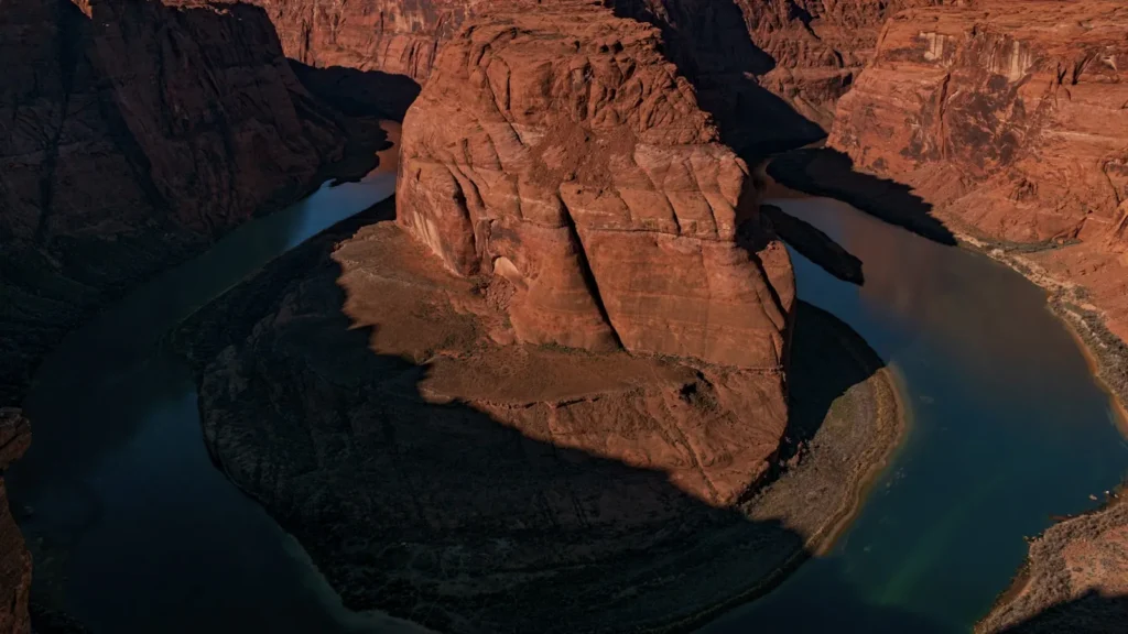
The photo at the top of this page is not West Fork Oak Creek.
It is a regional stand-in, honestly captioned but generic — we will not put a name to a river we cannot prove. Send us a photograph you took here and it replaces the stand-in, with your credit on it.
Add a photo of this water
Landscape, not fish — the water itself. Reviewed by hand before it appears. The first one published here earns the Pioneer badge.
Fished this water? Add a photo
Reviewed by hand before it appears. Pick the water, not the spot — we never publish exact locations.
Access
Call of the Canyon - the day-use area at the confluence, the only trailhead, fee and capacity limited.
West Fork Trail - the maintained path following the canyon for roughly three miles.
Oak Creek Canyon - the main canyon and Highway 89A corridor below the confluence.
Sedona - the town south of the canyon with full services and guiding.
Slide Rock State Park - the busy swimming area downstream on the main Oak Creek.
Coconino National Forest - the public ground covering the canyon.
Flagstaff - the city at the top of the canyon, the northern approach on Highway 89A.
Seasons
Spring: snowmelt and high cold water, with the creek pushy and the crossings awkward.
Summer: cool shaded water in a hot region, heavy visitor traffic and real monsoon flood risk.
Fall: the signature season, with maple color, low clear water and the largest crowds of the year.
Winter: cold and quiet, with ice in the shaded narrows and the canyon at its emptiest.
From the water
No logged trips yet. Be the first to put this water on your map.
Log this water
Fished it or cleaned it? Log in or create a free account to log a trip with photos and earn the waterway badge.
Questions
What is the current flow on the West Fork Oak Creek?
As of Sep 17, 5:45 am, the USGS gauge WEST FORK OAK CREEK NR SEDONA, AZ reads 4 cfs, with water temperature 60.8 F. Conditions update every 15 minutes.
What species can you catch on the West Fork Oak Creek?
Anglers target Brook Trout, Brown Trout, Rainbow Trout on the West Fork Oak Creek in Arizona.
Where can you access the West Fork Oak Creek?
Call of the Canyon - the day-use area at the confluence, the only trailhead, fee and capacity limited. West Fork Trail - the maintained path following the canyon for roughly three miles. Oak Creek Canyon - the main canyon and Highway 89A corridor below the confluence. Sedona - the town south of the canyon with full services and guiding. Slide Rock State Park - the busy swimming area downstream on the main Oak Creek. Coconino National Forest - the public ground covering the canyon. Flagstaff - the city at the top of the canyon, the northern approach on Highway 89A.
When is the best time to fish the West Fork Oak Creek?
Spring: snowmelt and high cold water, with the creek pushy and the crossings awkward. Summer: cool shaded water in a hot region, heavy visitor traffic and real monsoon flood risk. Fall: the signature season, with maple color, low clear water and the largest crowds of the year. Winter: cold and quiet, with ice in the shaded narrows and the canyon at its emptiest.
Where are the fishing regulations for the West Fork Oak Creek?
Regulations change by season and section. Read the current rules on the Arizona agency site: https://www.azgfd.com/fishing-2/licenses-and-regulations/