Aucilla River Fishing Guides
A dark karst river that vanishes into a chain of sinkholes and surfaces again at Nutall Rise before running the last few miles to Apalachee Bay, carrying both freshwater and coastal fish.
Guides on the Aucilla River
Claimed profiles take booking requests. Unclaimed profiles are built from public records so the river is never empty; the guide can claim or remove one any time.
No guides listed yet
Guide or outfit this water? Create your profile. Listing is free, the commission is 10% or 7% with a premium profile, and premium profiles list first on this water.
About the Aucilla River
The Aucilla is the strangest river in Florida to look at on a map. For several miles above the coast it simply stops being a river, dropping into a series of sinkholes and running underground through limestone before rising again at a place called Nutall Rise. The stretch of alternating sinks and pools is one of the more unusual pieces of hydrology in the Southeast, and it means the lower river gets a large share of its water from underground rather than from the surface channel upstream.
Below the rise the river is tannin dark, narrow and lined with cypress and limestone outcrop, and it drops quickly toward Apalachee Bay. The gauge sits near the mouth, which is the right place to read it, because the last few miles are where fresh water and tide meet and where the fishing changes character. On a strong outgoing tide the river runs nearly fresh. On a high incoming tide salt pushes well up into the cypress.
That mixing is what makes the species list unusual. Largemouth bass hold in the upper pools and around the fallen timber, and redfish and spotted seatrout work the same river a mile or two downstream. The Big Bend also holds a Gulf strain of striped bass that uses cool spring-influenced water through the summer, and the Aucilla is one of the rivers where they turn up. Southern flounder sit on the sand edges near the mouth.
Access is limited and that is the point. There is very little development on this coast, the surrounding land is largely wildlife management area and timber, and the shoreline is salt marsh rather than beach or seawall. A boat is close to essential below the rise, and it needs to be one that tolerates oyster and limestone, because both are present and neither is charted well.
Most people launch at the ramp near Nutall Rise and fish downstream with the tide, or run out into the bay when the weather allows. The river is small enough that wind on the open bay decides a lot of days. Fall and spring are the reliable windows, with cool clear water, moving redfish and comfortable conditions in country that is punishing in midsummer.
This water needs a real photo
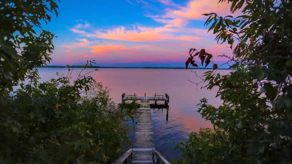
The photo at the top of this page is not Aucilla River.
It is a regional stand-in, honestly captioned but generic — we will not put a name to a river we cannot prove. Send us a photograph you took here and it replaces the stand-in, with your credit on it.
Add a photo of this water
Landscape, not fish — the water itself. Reviewed by hand before it appears. The first one published here earns the Pioneer badge.
Fished this water? Add a photo
Reviewed by hand before it appears. Pick the water, not the spot — we never publish exact locations.
Access
Nutall Rise - the spot where the river resurfaces from underground and the usual launch point.
Aucilla River Wildlife Management Area - the public land covering much of the corridor above the coast.
Apalachee Bay - the shallow Gulf embayment the river empties into.
U.S. Highway 98 - the coastal highway crossing the river near the mouth.
St. Marks - the nearest town with services and guides, west along the coast.
Perry - the larger service town inland to the east.
Aucilla Sinks - the chain of sinkholes upstream where the river runs underground.
Seasons
Spring: rising water temperatures and the best mixed bag of freshwater and coastal fish.
Summer: hot and buggy, with striped bass seeking cool spring-fed water and fishing best at dawn.
Fall: the prime window, cool clear water, strong redfish movement and workable weather on the bay.
Winter: cold fronts drop the water and push fish to the deeper river bends and holes.
From the water
No logged trips yet. Be the first to put this water on your map.
Log this water
Fished it or cleaned it? Log in or create a free account to log a trip with photos and earn the waterway badge.
Questions
What species can you catch on the Aucilla River?
Anglers target Black Drum, Largemouth Bass, Red Drum, Southern Flounder, Spotted Seatrout, Striped Bass on the Aucilla River in Florida.
Where can you access the Aucilla River?
Nutall Rise - the spot where the river resurfaces from underground and the usual launch point. Aucilla River Wildlife Management Area - the public land covering much of the corridor above the coast. Apalachee Bay - the shallow Gulf embayment the river empties into. U.S. Highway 98 - the coastal highway crossing the river near the mouth. St. Marks - the nearest town with services and guides, west along the coast. Perry - the larger service town inland to the east. Aucilla Sinks - the chain of sinkholes upstream where the river runs underground.
When is the best time to fish the Aucilla River?
Spring: rising water temperatures and the best mixed bag of freshwater and coastal fish. Summer: hot and buggy, with striped bass seeking cool spring-fed water and fishing best at dawn. Fall: the prime window, cool clear water, strong redfish movement and workable weather on the bay. Winter: cold fronts drop the water and push fish to the deeper river bends and holes.
Where are the fishing regulations for the Aucilla River?
Regulations change by season and section. Read the current rules on the Florida agency site: https://myfwc.com/fishing/saltwater/recreational/