South Fork Root River Fishing Guides
A Driftless Area spring creek draining the limestone bluff country of southeast Minnesota, with wild brown trout in the tributaries and smallmouth in the warmer main stem.
Guides on the South Fork Root River
Claimed profiles take booking requests. Unclaimed profiles are built from public records so the river is never empty; the guide can claim or remove one any time.
No guides listed yet
Guide or outfit this water? Create your profile. Listing is free, the commission is 10% or 7% with a premium profile, and premium profiles list first on this water.
About the South Fork Root River
The South Fork of the Root River drains roughly two hundred and seventy-five square miles of the Minnesota Driftless Area, the corner of the state that the last glaciation missed entirely. Because the ice never flattened it, the landscape is deeply carved limestone bluff country, and the water that comes out of that limestone is cold, alkaline and remarkably stable. The gauge near Houston reads discharge, stage and turbidity, and the turbidity record is genuinely useful here because these streams blow out hard and clear fast.
The spring-creek character is strongest in the tributaries and the upper reaches, where cold groundwater enters continuously and holds temperatures where trout thrive through a Minnesota August. The main stem warms as it gathers volume, so the drainage fishes as two different waters depending on where you stand in it. Limestone chemistry drives heavy invertebrate production, and the hatches follow the familiar Driftless calendar of early-season midges and blue-winged olives, caddis through the warm months and terrestrials that matter enormously from July onward.
Wild brown trout are the foundation of the fishery and reproduce naturally throughout the system. Brook trout hold in the coldest headwater spring runs, and rainbow trout appear in places. Lower down, where the water warms, smallmouth bass and rock bass take over and provide genuinely good summer fishing that most trout anglers drive straight past. Anglers who learn to read the turbidity gauge alongside the flow will save themselves a great many wasted drives into the valley.
Minnesota has invested heavily in this drainage, and angling easements and state forest land open a great deal of water to the public. Access is good, but the banks are steep and the walking is real work.
This water needs a real photo
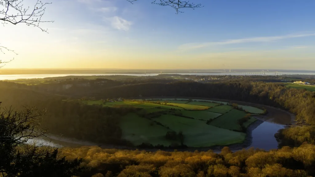
The photo at the top of this page is not South Fork Root River.
It is a regional stand-in, honestly captioned but generic — we will not put a name to a river we cannot prove. Send us a photograph you took here and it replaces the stand-in, with your credit on it.
Add a photo of this water
Landscape, not fish — the water itself. Reviewed by hand before it appears. The first one published here earns the Pioneer badge.
Fished this water? Add a photo
Reviewed by hand before it appears. Pick the water, not the spot — we never publish exact locations.
Access
Houston - the nearest town, with services and immediate access to the lower river.
DNR angling easements - extensive public fishing easements through private land, marked and mapped by the state.
Root River State Trail - a paved rail-trail that parallels much of the valley and reaches water on foot or by bike.
Rushford - a neighbouring town upstream with lodging and further access.
Lanesboro - the regional centre for Driftless trout fishing, with fly shops and guides.
Forestville Mystery Cave State Park - public water and camping within the drainage.
Whitewater State Park - a well-known alternative trout fishery a short drive north.
Seasons
Spring: snowmelt and rain colour the water quickly, but the tributaries clear first and the wild browns feed hard.
Summer: the spring-fed upper water stays cold and fishes on terrestrials, while the warmer main stem gives up smallmouth.
Fall: brown trout move onto spawning gravel, colour up and take streamers well as the bluffs turn.
Winter: Minnesota's winter catch-and-release season opens parts of the system, and spring-fed reaches stay open and fishable.
From the water
No logged trips yet. Be the first to put this water on your map.
Log this water
Fished it or cleaned it? Log in or create a free account to log a trip with photos and earn the waterway badge.
Questions
What is the current flow on the South Fork Root River?
As of Oct 18, 5:30 pm, the USGS gauge SOUTH FORK ROOT RIVER NEAR HOUSTON, MN reads 201 cfs. Conditions update every 15 minutes.
What species can you catch on the South Fork Root River?
Anglers target Brook Trout, Brown Trout, Rainbow Trout, Rock Bass, Smallmouth Bass, White Sucker on the South Fork Root River in Minnesota.
Where can you access the South Fork Root River?
Houston - the nearest town, with services and immediate access to the lower river. DNR angling easements - extensive public fishing easements through private land, marked and mapped by the state. Root River State Trail - a paved rail-trail that parallels much of the valley and reaches water on foot or by bike. Rushford - a neighbouring town upstream with lodging and further access. Lanesboro - the regional centre for Driftless trout fishing, with fly shops and guides. Forestville Mystery Cave State Park - public water and camping within the drainage. Whitewater State Park - a well-known altern...
When is the best time to fish the South Fork Root River?
Spring: snowmelt and rain colour the water quickly, but the tributaries clear first and the wild browns feed hard. Summer: the spring-fed upper water stays cold and fishes on terrestrials, while the warmer main stem gives up smallmouth. Fall: brown trout move onto spawning gravel, colour up and take streamers well as the bluffs turn. Winter: Minnesota's winter catch-and-release season opens parts of the system, and spring-fed reaches stay open and fishable.
Where are the fishing regulations for the South Fork Root River?
Regulations change by season and section. Read the current rules on the Minnesota agency site: https://www.dnr.state.mn.us/regulations/fishing/index.html