Kawaikoi Stream Fishing Guides
The centre of the only wild trout fishery in the Hawaiian Islands, a small clear stream in the Kokee highlands of Kauai with a short, tightly managed season.
Guides on the Kawaikoi Stream
Claimed profiles take booking requests. Unclaimed profiles are built from public records so the river is never empty; the guide can claim or remove one any time.
No guides listed yet
Guide or outfit this water? Create your profile. Listing is free, the commission is 10% or 7% with a premium profile, and premium profiles list first on this water.
About the Kawaikoi Stream
Kawaikoi Stream runs through the Kokee highlands on Kauai, above Waimea Canyon and along the edge of the Alakai plateau, and it is the centre of the only wild trout fishery in the Hawaiian Islands. Rainbow trout were introduced to these streams early in the twentieth century and have persisted in the cool, high water ever since, which makes this small stream in the mountains of a tropical island one of the strangest and most appealing pieces of trout water anywhere in the United States.
The setting does most of the work. Kokee sits several thousand feet above the coast, the air is cool enough for a jacket in the morning, and the forest is koa and ohia rather than anything a mainland angler would recognise. The Alakai above it is one of the wettest places on earth, which is the reason the stream runs at all, and the same rainfall means the water can rise and colour quickly and then drop again just as fast.
The stream itself is small, clear and pocketed, dropping over basalt into short runs and plunge pools with heavy streamside vegetation crowding both banks. The trout are not large. They are wild, wary and hard-won in low clear water, and fishing here is a matter of short casts, careful footing on wet rock and staying out of sight. A light rod and a handful of small attractor patterns and nymphs is the whole kit worth carrying in.
The fishery is tightly managed. The season is short, historically opening in high summer and running on limited days, and the rules do change, so the current regulations should be read before a trip is planned around it. Access runs through Kokee State Park and the trail system on the plateau, and the walk in is a real part of the experience. The gauge reads flow and stage only, with no temperature, and after heavy rain on the Alakai the stream should be left alone.
This water needs a real photo
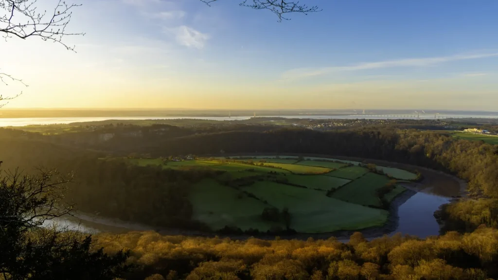
The photo at the top of this page is not Kawaikoi Stream.
It is a regional stand-in, honestly captioned but generic — we will not put a name to a river we cannot prove. Send us a photograph you took here and it replaces the stand-in, with your credit on it.
Add a photo of this water
Landscape, not fish — the water itself. Reviewed by hand before it appears. The first one published here earns the Pioneer badge.
Fished this water? Add a photo
Reviewed by hand before it appears. Pick the water, not the spot — we never publish exact locations.
Access
Kokee State Park - the park the stream runs through, and the base for any trip to this water.
Waimea Canyon State Park - the canyon country below, with the main road up from the coast.
Waimea - the west-side town at the bottom of the road, and the nearest full services.
Kokee Road - the long climb from the coast, and the only practical vehicle approach.
Alakai Swamp - the high plateau feeding the stream, and the source of its flash flooding.
Kawaikoi Stream Trail - the streamside trail giving the most direct walking access.
Lihue - the island's main town, with airport, tackle and lodging.
Seasons
Spring: generally closed to fishing, with wet conditions on the plateau and unsettled stream levels.
Summer: the traditional opening, and the only reliable window for trout on this stream.
Fall: limited days where the season extends, with cooler air and steadier water on the plateau.
Winter: wet and often unfishable, with heavy rain on the Alakai and flash flooding a genuine hazard.
From the water
No logged trips yet. Be the first to put this water on your map.
Log this water
Fished it or cleaned it? Log in or create a free account to log a trip with photos and earn the waterway badge.
Questions
What is the current flow on the Kawaikoi Stream?
As of Oct 18, 5:20 pm, the USGS gauge Kawaikoi Stream nr Waimea, Kauai, HI reads 53 cfs. Conditions update every 15 minutes.
What species can you catch on the Kawaikoi Stream?
Anglers target Rainbow Trout on the Kawaikoi Stream in Hawaii.
Where can you access the Kawaikoi Stream?
Kokee State Park - the park the stream runs through, and the base for any trip to this water. Waimea Canyon State Park - the canyon country below, with the main road up from the coast. Waimea - the west-side town at the bottom of the road, and the nearest full services. Kokee Road - the long climb from the coast, and the only practical vehicle approach. Alakai Swamp - the high plateau feeding the stream, and the source of its flash flooding. Kawaikoi Stream Trail - the streamside trail giving the most direct walking access. Lihue - the island's main town, with airport, tackle and lodging.
When is the best time to fish the Kawaikoi Stream?
Spring: generally closed to fishing, with wet conditions on the plateau and unsettled stream levels. Summer: the traditional opening, and the only reliable window for trout on this stream. Fall: limited days where the season extends, with cooler air and steadier water on the plateau. Winter: wet and often unfishable, with heavy rain on the Alakai and flash flooding a genuine hazard.
Where are the fishing regulations for the Kawaikoi Stream?
Regulations change by season and section. Read the current rules on the Hawaii agency site: https://dlnr.hawaii.gov/dar/fishing/fishing-regulations/