Indian Head River Fishing Guides
The principal tributary of the North River, running the Hanover and Pembroke line past old ironworks sites to the head of tide and the estuary below.
Guides on the Indian Head River
Claimed profiles take booking requests. Unclaimed profiles are built from public records so the river is never empty; the guide can claim or remove one any time.
No guides listed yet
Guide or outfit this water? Create your profile. Listing is free, the commission is 10% or 7% with a premium profile, and premium profiles list first on this water.
About the Indian Head River
The Indian Head River forms the line between Hanover and Pembroke and is the main freshwater feeder of the North River, the tidal system that winds out through the marshes to the sea at Scituate. It is a modest river, formed where Drinkwater River and Herring Brook come together, and it runs only a few miles before it joins the Indian Head to become the North River proper at the head of tide. The corridor is wooded and surprisingly quiet given how close it is to the Route 3 commuter belt, and much of it is protected as town conservation land and rail trail.
The river’s history is industrial. This was the centre of the South Shore ironworks in the eighteenth century, and the dam sites, forge foundations and mill ruins are still visible along the banks. Several of those obstructions have been removed or fitted with passage in recent decades, and the result is a herring run that now reaches further up the system than it has in two hundred years. Those herring are the reason striped bass push into the tidal water below, and schoolies run well up toward the head of tide on the flood through the warmer months.
Above the tide the river holds brook trout, some of which are sea run in the same pattern as the neighbouring Jones River, along with chain pickerel and largemouth bass in the slower stretches and pools. American eel are abundant throughout and are a species of some management interest here. The gauge reports discharge and stage at Hanover and sits close enough to the head of tide that the record reflects both the freshwater hydrograph above and the reach of the tide below. For most of the year the useful reading is the low flow baseline, which indicates how far up the system the schoolie bass are likely to push on a given tide.
This water needs a real photo
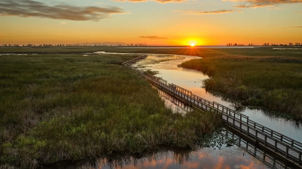
The photo at the top of this page is not Indian Head River.
It is a regional stand-in, honestly captioned but generic — we will not put a name to a river we cannot prove. Send us a photograph you took here and it replaces the stand-in, with your credit on it.
Add a photo of this water
Landscape, not fish — the water itself. Reviewed by hand before it appears. The first one published here earns the Pioneer badge.
Fished this water? Add a photo
Reviewed by hand before it appears. Pick the water, not the spot — we never publish exact locations.
Access
Hanover - the town on the north bank, with conservation land and the most convenient river access.
Pembroke - the town on the south bank, with further walk in access along the corridor.
North River - the tidal river the Indian Head becomes, the main striped bass water in the system.
Luddams Ford Park - the town park at the old ironworks site, the best known access point on the river.
Hanover Street crossing - the road bridge near the gauge, with parking and bank access.
Scituate - the coastal town at the river mouth, with harbour services and ocean access.
Boston - forty minutes north, with the nearest airport and the region's full services.
Seasons
Spring: the herring run comes through and the first striped bass follow, with the freshwater reaches fishing well for trout.
Summer: schoolie bass work the tidal water below and the upper river drops and warms into a pickerel and bass fishery.
Fall: the best striped bass fishing of the year in the North River below, with fish feeding hard before leaving.
Winter: cold and quiet, with the river largely unfished and the estuary holding only scattered resident fish.
From the water
No logged trips yet. Be the first to put this water on your map.
Log this water
Fished it or cleaned it? Log in or create a free account to log a trip with photos and earn the waterway badge.
Questions
What is the current flow on the Indian Head River?
As of Oct 18, 5:30 pm, the USGS gauge INDIAN HEAD RIVER AT HANOVER, MA reads 37 cfs. Conditions update every 15 minutes.
What species can you catch on the Indian Head River?
Anglers target American Eel, Bluefish, Brook Trout, Chain Pickerel, Largemouth Bass, Striped Bass, White Perch, Winter Flounder on the Indian Head River in Massachusetts.
Where can you access the Indian Head River?
Hanover - the town on the north bank, with conservation land and the most convenient river access. Pembroke - the town on the south bank, with further walk in access along the corridor. North River - the tidal river the Indian Head becomes, the main striped bass water in the system. Luddams Ford Park - the town park at the old ironworks site, the best known access point on the river. Hanover Street crossing - the road bridge near the gauge, with parking and bank access. Scituate - the coastal town at the river mouth, with harbour services and ocean access. Boston - forty minutes north, with th...
When is the best time to fish the Indian Head River?
Spring: the herring run comes through and the first striped bass follow, with the freshwater reaches fishing well for trout. Summer: schoolie bass work the tidal water below and the upper river drops and warms into a pickerel and bass fishery. Fall: the best striped bass fishing of the year in the North River below, with fish feeding hard before leaving. Winter: cold and quiet, with the river largely unfished and the estuary holding only scattered resident fish.
Where are the fishing regulations for the Indian Head River?
Regulations change by season and section. Read the current rules on the Massachusetts agency site: https://www.mass.gov/recreational-saltwater-fishing