Wapsipinicon River Fishing Guides
An eastern Iowa smallmouth and walleye river with a long canoeable middle section, quiet water, limestone outcrops and a string of small-town accesses.
Guides on the Wapsipinicon River
Claimed profiles take booking requests. Unclaimed profiles are built from public records so the river is never empty; the guide can claim or remove one any time.
No guides listed yet
Guide or outfit this water? Create your profile. Listing is free, the commission is 10% or 7% with a premium profile, and premium profiles list first on this water.
About the Wapsipinicon River
The Wapsipinicon runs southeast across eastern Iowa to the Mississippi, and the reach around Anamosa is the part most anglers and paddlers know. This is a gentle river by nature, low-gradient and winding, with long pools, occasional limestone outcrops, timbered banks and enough riffles to keep a canoe moving. The valley sits on the edge of the driftless country, which gives it more relief and more rock than most Iowa rivers have, and that combination of structure and slow water is what supports the fishery. The Wapsi has a long history as a local float river, and the sections above and below Anamosa are the most used.
Smallmouth bass are the headline species and the reason the river has a reputation beyond its immediate neighbourhood. They hold on the rock and the woody structure, and the fishing is best in the stretches where limestone ledges break the otherwise soft bottom. Walleye are present in good numbers and are taken through the deeper pools, particularly in spring. Channel and flathead catfish are both well established and are fished heavily, northern pike hold in the slower backwater sections, and rock bass and bluegill are everywhere. Freshwater drum round out the mix in the lower reaches.
The USGS gauge near Anamosa is the practical trip planner. The Wapsipinicon is a prairie-fed river and it responds sharply to rainfall: it can go from clear and low to high and brown in a day, and it takes a while to clear afterwards. Low summer flows are the norm and are perfectly fishable, but they can make a long float slow going. Access runs through a series of county and city parks and bridge crossings along the valley, with Anamosa and Wapsipinicon State Park as the most obvious points to build a day around. Nothing here is remote, and that is part of the appeal.
This water needs a real photo
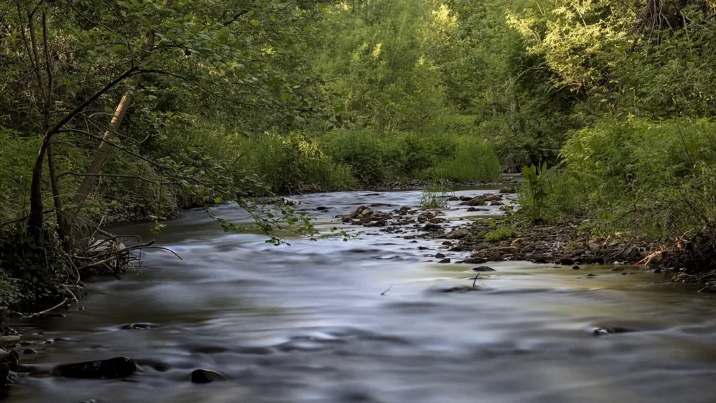
The photo at the top of this page is not Wapsipinicon River.
It is a regional stand-in, honestly captioned but generic — we will not put a name to a river we cannot prove. Send us a photograph you took here and it replaces the stand-in, with your credit on it.
Add a photo of this water
Landscape, not fish — the water itself. Reviewed by hand before it appears. The first one published here earns the Pioneer badge.
Fished this water? Add a photo
Reviewed by hand before it appears. Pick the water, not the spot — we never publish exact locations.
Access
Anamosa - the town at the gauge, the natural base for floats on the middle river.
Wapsipinicon State Park - a developed park on the river just south of Anamosa, with access and camping.
Central City - an access point upstream on the middle river.
Olin - a downstream access on the way toward the lower river.
Independence - a town well upstream, where the river is smaller and clearer.
Cedar Rapids - the nearest city with full services, southwest of Anamosa.
Mississippi River confluence - the downstream end of the river, near Camanche.
Seasons
Spring: high, coloured water early followed by the best walleye fishing of the year as flows drop and the river clears through April and May.
Summer: low, warm and clear, with smallmouth fishing at its best and floats slow but easy in the long pools.
Fall: flows recover with autumn rain, catfish and smallmouth feed up, and the valley clears out of summer traffic.
Winter: cold and largely left alone, with ice on the slower sections and fishing limited to the deepest holes.
From the water
No logged trips yet. Be the first to put this water on your map.
Log this water
Fished it or cleaned it? Log in or create a free account to log a trip with photos and earn the waterway badge.
Questions
What is the current flow on the Wapsipinicon River?
As of Oct 18, 5:15 pm, the USGS gauge Wapsipinicon River near Anamosa, IA reads 3,280 cfs. Conditions update every 15 minutes.
What species can you catch on the Wapsipinicon River?
Anglers target Bluegill, Channel Catfish, Flathead Catfish, Freshwater Drum, Northern Pike, Rock Bass, Smallmouth Bass, Walleye on the Wapsipinicon River in Iowa.
Where can you access the Wapsipinicon River?
Anamosa - the town at the gauge, the natural base for floats on the middle river. Wapsipinicon State Park - a developed park on the river just south of Anamosa, with access and camping. Central City - an access point upstream on the middle river. Olin - a downstream access on the way toward the lower river. Independence - a town well upstream, where the river is smaller and clearer. Cedar Rapids - the nearest city with full services, southwest of Anamosa. Mississippi River confluence - the downstream end of the river, near Camanche.
When is the best time to fish the Wapsipinicon River?
Spring: high, coloured water early followed by the best walleye fishing of the year as flows drop and the river clears through April and May. Summer: low, warm and clear, with smallmouth fishing at its best and floats slow but easy in the long pools. Fall: flows recover with autumn rain, catfish and smallmouth feed up, and the valley clears out of summer traffic. Winter: cold and largely left alone, with ice on the slower sections and fishing limited to the deepest holes.
Where are the fishing regulations for the Wapsipinicon River?
Regulations change by season and section. Read the current rules on the Iowa agency site: https://www.iowadnr.gov/fishing