Fishes Deerfield River, Swift River
Tailwater · Central Massachusetts · Massachusetts
Swift River Fishing Guides
The Quabbin tailwater, a small, cold, gin-clear catch-and-release river below Winsor Dam where the trout can see everything and usually do.
Map of the Swift River
12 numbered points: 1 access point, 2 bridges, 3 parks and conservation areas, 1 agency office, 1 regulation section limit, 3 hazards, 1 USGS gauge. Tap a marker for details. Reviewed Sep 26, 2026.
- Access / boat ramp (1)
- Bridge crossing (2)
- Park / conservation area (3)
- Agency / conservation office (1)
- Regulation section limit (1)
- Dam / hazard (3)
- USGS gauge (1)
Map data © OpenStreetMap contributors. Points are curated from OpenStreetMap and state agency sources; confirm access and hours before you go.
Print it. Bag it. Bring it.Phones die, screens crack, and most of this water has no signal. Print this map, fold it into a zip-top bag or dry bag with your license, and you have a backup your electronics can’t give you. Every marker is numbered so you can say exactly where you are.
Open the printable mapAll 12 points on this map
| # | Point | Type | Lat, Lon | Notes |
|---|---|---|---|---|
| 1 | Winsor Memorial Park Winsor Dam, Belchertown | Park / conservation area | 42.29302, -72.34126 | Lookout and parking at the dam; the walk-in for the top of the river starts here. |
| 2 | Quabbin Spillway at Winsor Dam head of the Swift River | Dam / hazard | 42.28746, -72.33808 | OSM names this dam way Quabbin Spillway; it is the Winsor Dam structure that makes the river. Upstream limit of the state special regulation area on the Swift. |
| 3 | Winsor Dam Road bridge service road below the spillway | Bridge crossing | 42.28583, -72.33797 | First crossing below the dam. |
| 4 | Quabbin Visitor Center DCR Quabbin Administration Building | Agency / conservation office | 42.28006, -72.34783 | Watershed office and visitor centre. Quabbin gate and access rules are posted here and they change; read them before walking in. |
| 5 | Route 9 bridge segment boundary, Swift River special area | Regulation section limit | 42.27387, -72.33750 | The state splits its Swift River area at this crossing - Winsor Dam to the Route 9 bridge above it, the Route 9 bridge to Cady Lane below it. Boundary only; read the rules on the MassWildlife page. |
| 6 | Quabbin Reservoir Watershed DCR protected watershed | Park / conservation area | 42.27118, -72.35166 | Protected watershed land along the upper river; access is by the posted gate rules, not by general right. |
| 7 | USGS 01175500 - Swift River at West Ware river stage and discharge | USGS gauge | 42.26787, -72.33258 | The gauge this page reads from, just below the Route 9 bridge. Quabbin releases set the flow here, not rainfall. |
| 8 | Herman Covey Wildlife Management Area MassWildlife, open access | Park / conservation area | 42.25967, -72.33728 | The main block of public land on the middle river, reached off Cold Spring Street. |
| 9 | Swift River Launch slipway off Cold Spring Street | Access / boat ramp | 42.24272, -72.33517 | The only launch tagged on the whole river. The Cold Spring Street and Old Belchertown Road bridges cross 60 m away on the same span line. |
| 10 | Textile Printing Company Upper Dam Bondsville | Dam / hazard | 42.21912, -72.34074 | First of the two Bondsville mill dams. An unnamed dam way sits 800 m below it; it is not shipped, because an unnamed hazard is not a point. |
| 11 | Depot Street bridge MA 181, Bondsville | Bridge crossing | 42.21364, -72.34567 | |
| 12 | Bondsville Lower Dam Bondsville | Dam / hazard | 42.21134, -72.34629 | Lowest dam above the Chicopee confluence. The State Street and River Street bridges cross 60 m below it. |
Guides on the Swift River
Claimed profiles take booking requests. Unclaimed profiles are built from public records so the river is never empty; the guide can claim or remove one any time.
About the Swift River
The Swift below Quabbin Reservoir is the most technical trout water in Massachusetts and probably in New England. Water released from deep in the Quabbin comes out cold and astonishingly clear, and the top mile below Winsor Dam, the well-known catch-and-release stretch, runs shallow and slow over gravel and weed with fish visible in every run. Anglers stand in one spot for an hour working a single trout. It is either the best fishing in the region or the most frustrating, depending on the day and your patience.
Rainbows dominate the upper water and grow long and thin on a diet of midges and scuds. Brown trout and brook trout are present, some of them wild and holding in the tributaries and the lower river, and landlocked salmon drop down out of the reservoir. Standard tackle here is a long leader, tippet finer than most anglers are comfortable with, and very small flies, midges, scuds, sowbugs and tiny olives, fished with a good drift. Below the Route 9 bridge and down toward Bondsville the river warms and opens up and fishes more conventionally.
The West Ware gauge reflects the Winsor Dam release. Because the release is managed rather than weather-driven, the Swift is remarkably stable, and that consistency is why it fishes year-round: it does not blow out in spring and it does not warm out in August. Changes in the release do move fish and change which runs hold them, so it is worth reading the number before you drive.
Belchertown and Ware are the nearest towns, and the whole Quabbin area is public land, which keeps the corridor undeveloped and quiet.
This water needs a real photo
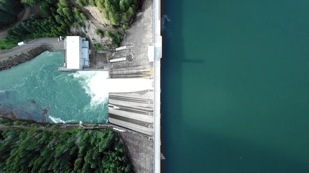
The photo at the top of this page is not Swift River.
It is a regional stand-in, honestly captioned but generic — we will not put a name to a river we cannot prove. Send us a photograph you took here and it replaces the stand-in, with your credit on it.
Pioneer badgeUnclaimed
Add a photo of this water
Landscape, not fish — the water itself. Reviewed by hand before it appears. The first one published here earns the Pioneer badge.
Fished this water? Add a photo
Reviewed by hand before it appears. Pick the water, not the spot — we never publish exact locations.
Access
Winsor Dam and the Y Pool: the top of the river and its most famous water.
Catch-and-release section below the dam: the primary fly-fishing reach.
Route 9 bridge: parking and access at the middle of the river.
Cady Lane: walk-in access to the lower catch-and-release water.
Bondsville: the lower river, warmer and less pressured.
Quabbin Reservoir: the source, with its own separate fishery and rules.
Ware: the bottom end near the Ware River confluence.
Seasons
Open year-round and fishes in every month, including deep winter.
March through May: the most comfortable conditions and good midge and olive activity.
June through September: cold releases keep it fishing while the region bakes; low clear water, long leaders.
October through February: the classic Swift season, technical sight fishing and few anglers on cold days.
From the water
No logged trips yet. Be the first to put this water on your map.
Log this water
Fished it or cleaned it? Log in or create a free account to log a trip with photos and earn the waterway badge.
Questions
What is the current flow on the Swift River?
As of Oct 19, 3:15 am, the USGS gauge SWIFT RIVER AT WEST WARE, MA reads 126 cfs, the 76th percentile for this date. Conditions update every 15 minutes.
What species can you catch on the Swift River?
Anglers target Brook Trout, Brown Trout, Landlocked Atlantic Salmon, Rainbow Trout on the Swift River in Massachusetts.
Are there fishing guides on the Swift River?
GuidedFloats lists 1 guide and outfitters on the Swift River. Claimed profiles accept booking requests; unclaimed profiles are built from public records and link to the business.
Where can you access the Swift River?
Winsor Dam and the Y Pool: the top of the river and its most famous water. Catch-and-release section below the dam: the primary fly-fishing reach. Route 9 bridge: parking and access at the middle of the river. Cady Lane: walk-in access to the lower catch-and-release water. Bondsville: the lower river, warmer and less pressured. Quabbin Reservoir: the source, with its own separate fishery and rules. Ware: the bottom end near the Ware River confluence.
When is the best time to fish the Swift River?
Open year-round and fishes in every month, including deep winter. March through May: the most comfortable conditions and good midge and olive activity. June through September: cold releases keep it fishing while the region bakes; low clear water, long leaders. October through February: the classic Swift season, technical sight fishing and few anglers on cold days.
Where are the fishing regulations for the Swift River?
Regulations change by season and section. Read the current rules on the Massachusetts agency site: https://www.mass.gov/freshwater-fishing-regulations