Richland Creek Fishing Guides
A remote Ozark wilderness creek in Searcy County, fished on foot through boulder gorge and bluff pools for smallmouth and Ozark bass.
Guides on the Richland Creek
Claimed profiles take booking requests. Unclaimed profiles are built from public records so the river is never empty; the guide can claim or remove one any time.
No guides listed yet
Guide or outfit this water? Create your profile. Listing is free, the commission is 10% or 7% with a premium profile, and premium profiles list first on this water.
About the Richland Creek
Richland Creek drains the wild country around Witts Spring in Searcy County and runs north to the Buffalo National River, and it is one of the most genuinely remote fishable creeks in Arkansas. Much of its middle reach runs through the Richland Creek Wilderness on Ozark National Forest ground, where there are no roads and the creek drops through a boulder gorge in a series of plunge pools, slides and short falls. At the gauge near Witts Spring it drains under seventy square miles, which makes it small water, and the combination of small flow and big boulders is what gives the creek its character: a lot of it is unfishable, and the parts that are fishable are very good.
Smallmouth bass are the quarry and they hold in the plunge pools and in the shade beneath the bluff walls, where a fish of fourteen or fifteen inches is a real prize in water this size. Ozark bass and shadow bass are abundant and are what keeps the fishing interesting between smallmouth, and longear and green sunfish fill every shallow. Channel catfish use the deepest pools and creek chubs are everywhere. This is walk-and-wade fishing in the fullest sense: anglers hike in, work upstream or down from the campground, and scramble over boulders between pools. It is not float water at any realistic flow, and nobody should plan on paddling it.
The gauge reports discharge and stage but no temperature. On a creek this small in this country, the flow trace is the whole safety and planning picture: the creek rises very fast after Ozark storms and the crossings become genuinely dangerous, a settled low flow is when the pools are clear and the fish visible, and a severe summer recession reduces the creek to disconnected pools that are better left alone. Spring and autumn are the seasons, and nobody should walk into the gorge on a rising gauge.
This water needs a real photo
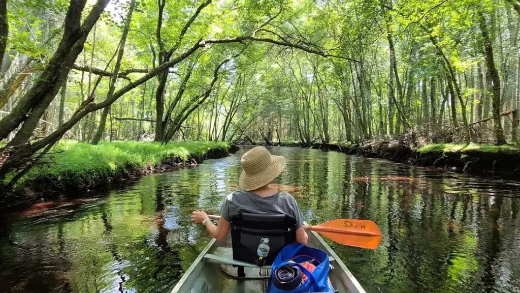
The photo at the top of this page is not Richland Creek.
It is a regional stand-in, honestly captioned but generic — we will not put a name to a river we cannot prove. Send us a photograph you took here and it replaces the stand-in, with your credit on it.
Add a photo of this water
Landscape, not fish — the water itself. Reviewed by hand before it appears. The first one published here earns the Pioneer badge.
Fished this water? Add a photo
Reviewed by hand before it appears. Pick the water, not the spot — we never publish exact locations.
Access
Witts Spring - the small community at the gauge and the usual starting point for the upper creek.
Richland Creek Campground - the Ozark National Forest campground and the main walk-in access to the gorge.
Richland Creek Wilderness - the roadless middle reach, reached on foot from the campground.
Buffalo National River - the downstream river the creek enters, with float water and ranger information.
Ben Hur - the small community on the forest road network above the creek.
Clarksville - the nearest larger town to the south, with services and groceries.
Jasper - the regional base to the north, with outfitters and guides working the Buffalo.
Seasons
Spring: the best flows and the strongest fishing of the year, though storms raise the creek fast and make crossings hazardous.
Summer: low and warm, with the creek reduced toward disconnected pools and the fishing limited to the deepest and shadiest of them.
Fall: clear water, cool air and excellent smallmouth fishing through the gorge, with the lightest pressure of the year.
Winter: cold and rarely fished, with access roads unreliable and only the deepest pools holding fish.
From the water
No logged trips yet. Be the first to put this water on your map.
Log this water
Fished it or cleaned it? Log in or create a free account to log a trip with photos and earn the waterway badge.
Questions
What is the current flow on the Richland Creek?
As of Nov 2, 7:00 am, the USGS gauge Richland Creek near Witts Spring, AR reads 3 cfs. Conditions update every 15 minutes.
What species can you catch on the Richland Creek?
Anglers target Channel Catfish, Creek Chub, Green Sunfish, Longear Sunfish, Ozark Bass, Shadow Bass, Smallmouth Bass on the Richland Creek in Arkansas.
Where can you access the Richland Creek?
Witts Spring - the small community at the gauge and the usual starting point for the upper creek. Richland Creek Campground - the Ozark National Forest campground and the main walk-in access to the gorge. Richland Creek Wilderness - the roadless middle reach, reached on foot from the campground. Buffalo National River - the downstream river the creek enters, with float water and ranger information. Ben Hur - the small community on the forest road network above the creek. Clarksville - the nearest larger town to the south, with services and groceries. Jasper - the regional base to the north, wi...
When is the best time to fish the Richland Creek?
Spring: the best flows and the strongest fishing of the year, though storms raise the creek fast and make crossings hazardous. Summer: low and warm, with the creek reduced toward disconnected pools and the fishing limited to the deepest and shadiest of them. Fall: clear water, cool air and excellent smallmouth fishing through the gorge, with the lightest pressure of the year. Winter: cold and rarely fished, with access roads unreliable and only the deepest pools holding fish.
Where are the fishing regulations for the Richland Creek?
Regulations change by season and section. Read the current rules on the Arkansas agency site: https://www.agfc.com/regulations/general-fishing-regulations/