Spring River Fishing Guides
An Arkansas river born whole out of Mammoth Spring, cold and clear year round, with trout up top and smallmouth below.
Map of the Spring River
18 numbered points: 7 access points, 4 parks and conservation areas, 2 agency offices, 1 regulation section limit, 2 hazards, 1 spring, 1 USGS gauge. Tap a marker for details. Reviewed Sep 25, 2026.
- Access / boat ramp (7)
- Park / conservation area (4)
- Agency / conservation office (2)
- Regulation section limit (1)
- Dam / hazard (2)
- Spring (1)
- USGS gauge (1)
Print it. Bag it. Bring it.Phones die, screens crack, and most of this water has no signal. Print this map, fold it into a zip-top bag or dry bag with your license, and you have a backup your electronics can’t give you. Every marker is numbered so you can say exactly where you are.
Open the printable mapAll 18 points on this map
| # | Point | Type | Lat, Lon | Notes |
|---|---|---|---|---|
| 1 | Mammoth Spring Source of the Spring River | Spring | 36.49781, -91.53594 | One of the largest springs in the Ozarks. The river starts here and runs cold all summer, which is why the upper reach holds trout. |
| 2 | Mammoth Spring State Park Arkansas State Parks | Park / conservation area | 36.49621, -91.53282 | Park surrounds the spring pool and the dam at the head of the river. |
| 3 | Mammoth Spring National Fish Hatchery US Fish & Wildlife Service | Agency / conservation office | 36.49602, -91.53188 | Federal hatchery beside the spring; re-typed from an OSM name tag that read as park security. |
| 4 | Mammoth Spring Dam No. 1 Dam at the spring outflow | Dam / hazard | 36.49517, -91.53468 | Dam at the head of the river. The state trout reach begins below it. |
| 5 | Trout water begins - 100 yards below Dam No. 1 Upstream boundary, AGFC trout water | Regulation section limit | 36.49498, -91.53517 | AGFC manages the Spring River trout water from 100 yards below Dam No. 1 downstream to the mouth of Myatt Creek. Point placed on the centreline at the nearest vertex to that boundary. |
| 6 | USGS 07069220 Spring River near Mammoth Spring USGS streamgage | USGS gauge | 36.47718, -91.52457 | Real-time stage and discharge for the upper trout reach. |
| 7 | Cold Springs Boat Ramp AGFC - concrete ramp | Access / boat ramp | 36.47680, -91.52429 | AGFC access in the upper trout reach; AGFC lists an accessible fishing pier at Cold Springs. |
| 8 | Spring River Dam 3 Low dam - scout before running | Dam / hazard | 36.46656, -91.53010 | Dam on the upper river next to the Dam 3 access. |
| 9 | Dam 3 Boat Ramp AGFC - concrete ramp | Access / boat ramp | 36.46620, -91.52795 | Standard upper put-in for the trout reach, just below the dam. |
| 10 | Bayou Boat Ramp AGFC - concrete ramp | Access / boat ramp | 36.43319, -91.52841 | AGFC access about 10 km below the spring. |
| 11 | Loberge Park City park, Hardy | Park / conservation area | 36.31504, -91.48765 | Riverside park at the top of the Hardy reach. |
| 12 | Hardy Beach Access Boat Ramp AGFC - concrete ramp, Hardy | Access / boat ramp | 36.31262, -91.47297 | Ramp on the Hardy town beach; the busiest take-out on the river. |
| 13 | Buford Beach / Buck Memorial Garden Hardy riverfront | Park / conservation area | 36.31191, -91.47305 | Town beach and garden beside the Hardy ramp. |
| 14 | LB Access Boat Ramp AGFC - concrete ramp, Williford | Access / boat ramp | 36.25352, -91.40691 | AGFC access at Williford, below the Hardy reach. |
| 15 | Ravenden Boat Ramp AGFC - concrete ramp, Ravenden | Access / boat ramp | 36.22486, -91.25056 | AGFC access on the lower river. |
| 16 | Imboden City Park City park, Imboden | Park / conservation area | 36.20196, -91.18491 | |
| 17 | US Forest Service office, Imboden Agency office | Agency / conservation office | 36.19827, -91.18601 | |
| 18 | Imboden Spring River Access Public access, Imboden | Access / boat ramp | 36.20351, -91.16987 | Lowest mapped access before the Black River confluence. |
Guides on the Spring River
Claimed profiles take booking requests. Unclaimed profiles are built from public records so the river is never empty; the guide can claim or remove one any time.
No guides listed yet
Guide or outfit this water? Create your profile. Listing is free, the commission is 10% or 7% with a premium profile, and premium profiles list first on this water.
About the Spring River
The Spring River begins at Mammoth Spring on the Arkansas and Missouri line, where one of the largest springs in the United States discharges an enormous and nearly constant volume of water at the surface. The river does not build gradually from headwater trickles the way most rivers do. It starts as a full sized river within a few hundred yards of the spring, and that single fact explains nearly everything about how it looks and how it fishes.
Because the flow is spring fed rather than runoff driven, the river is extraordinarily stable. Volume varies little from season to season and the water stays cold and clear year round, holding a steady temperature through an Arkansas August that would make any comparable surface fed river unfishable for trout. The bed is gravel and ledge rock with a series of shoals and rapids, and the current is genuinely swift, which surprises people who expect spring water to be placid.
The upper river is a trout fishery. Rainbows are stocked heavily and are the main quarry, with brown trout present and reaching good size in the deeper runs and ledge pools. Farther downstream, as the spring water warms and tributaries come in, the river transitions to a warm water fishery with smallmouth bass, walleye and Ozark bass. That gradient over a relatively short distance is the defining feature of the river as a fishery.
Access is well developed and heavily used. Mammoth Spring State Park sits at the source, there are public access points and commercial outfitters along the upper river, and Hardy and Cherokee Village serve the middle reach. The river is a major float destination, and canoe and raft traffic is heavy through the warm months, particularly on weekends. Anglers generally fish early, fish late, or fish the sections above the main float traffic.
The practical advice is to work around the crowds rather than against the conditions, because the conditions are reliably good. Early morning and late evening are the productive windows on the upper river in summer. The shoals and the seams below them hold trout, and the deeper ledge pools hold the browns. Winter and early spring are quiet, cold and clear, with the best fishing of the year and almost no float traffic to work around.
This water needs a real photo
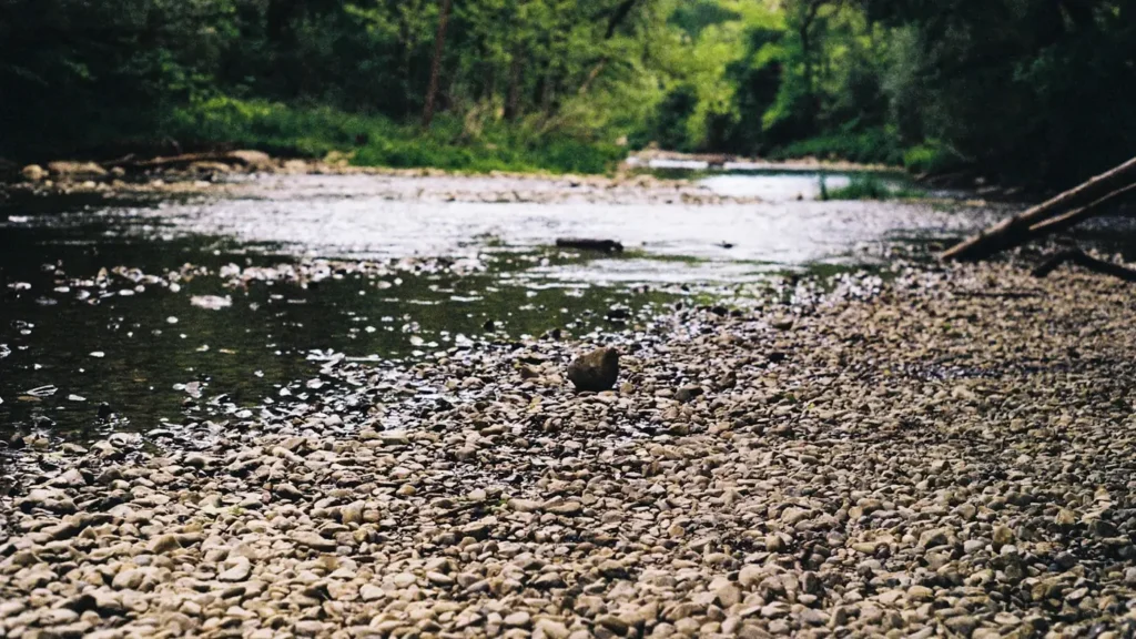
The photo at the top of this page is not Spring River.
It is a regional stand-in, honestly captioned but generic — we will not put a name to a river we cannot prove. Send us a photograph you took here and it replaces the stand-in, with your credit on it.
Add a photo of this water
Landscape, not fish — the water itself. Reviewed by hand before it appears. The first one published here earns the Pioneer badge.
Fished this water? Add a photo
Reviewed by hand before it appears. Pick the water, not the spot — we never publish exact locations.
Access
Mammoth Spring State Park - the state park at the spring and the head of the river.
Mammoth Spring - the town at the Arkansas and Missouri line at the source.
Hardy - the town on the middle river with services and outfitters.
Cherokee Village - the community on the river below Hardy.
Dam 3 access - the well known upper river access point below the spring.
Saddle - the community near the South Fork confluence.
Black River - the larger river receiving the Spring River downstream.
Seasons
Spring: cold clear stable flows, strong trout fishing and light float traffic.
Summer: the river stays cold at the spring, but float traffic is heavy through the middle of the day.
Fall: cooling air, quieter water and good fishing for both trout and smallmouth.
Winter: the best and quietest fishing of the year, with the spring holding the river ice free.
From the water
No logged trips yet. Be the first to put this water on your map.
Log this water
Fished it or cleaned it? Log in or create a free account to log a trip with photos and earn the waterway badge.
Questions
What species can you catch on the Spring River?
Anglers target Brown Trout, Ozark Bass, Rainbow Trout, Smallmouth Bass, Walleye on the Spring River in Arkansas.
Where can you access the Spring River?
Mammoth Spring State Park - the state park at the spring and the head of the river. Mammoth Spring - the town at the Arkansas and Missouri line at the source. Hardy - the town on the middle river with services and outfitters. Cherokee Village - the community on the river below Hardy. Dam 3 access - the well known upper river access point below the spring. Saddle - the community near the South Fork confluence. Black River - the larger river receiving the Spring River downstream.
When is the best time to fish the Spring River?
Spring: cold clear stable flows, strong trout fishing and light float traffic. Summer: the river stays cold at the spring, but float traffic is heavy through the middle of the day. Fall: cooling air, quieter water and good fishing for both trout and smallmouth. Winter: the best and quietest fishing of the year, with the spring holding the river ice free.
Where are the fishing regulations for the Spring River?
Regulations change by season and section. Read the current rules on the Arkansas agency site: https://www.agfc.com/regulations/general-fishing-regulations/