Chevelon Fork Fishing Guides
A rugged Mogollon Rim canyon creek below Chevelon Canyon Lake, reached only on foot, holding trout in its upper pools and warmwater fish lower down.
Guides on the Chevelon Fork
Claimed profiles take booking requests. Unclaimed profiles are built from public records so the river is never empty; the guide can claim or remove one any time.
No guides listed yet
Guide or outfit this water? Create your profile. Listing is free, the commission is 10% or 7% with a premium profile, and premium profiles list first on this water.
About the Chevelon Fork
Chevelon Fork, usually called Chevelon Creek locally, drains the Mogollon Rim country south of Winslow and runs north through a deep, narrow sandstone canyon toward the Little Colorado. It is one of the more difficult pieces of water to reach in northern Arizona. Chevelon Canyon Lake sits in the upper drainage and is itself famous as a hike-in trout fishery, and the creek below the lake keeps that character: steep walls, no road along the canyon floor, and access that means a serious descent and climb back out. The reward is water that sees almost nobody.
The upper creek below the reservoir holds trout, with rainbow trout the most common and brown trout present in the deeper pools, sustained by cool releases and the shade of the canyon. As the creek drops in elevation and runs north toward the desert the water warms and the fishery changes over to smallmouth bass, green sunfish, common carp and channel catfish in the lower reaches near the gauge below Wildcat Canyon. That transition through a single drainage is what makes the creek interesting, though few anglers fish more than one section on a given trip.
Flow is highly variable and strongly seasonal, driven by snowmelt off the Rim and the summer monsoon, and long stretches run very thin by late spring in a dry year. Monsoon flash flooding in a confined sandstone canyon is dangerous and the creek can come up violently with no rain falling where you are standing. There is no guiding on this water in any organised sense; it is a backcountry proposition requiring self-sufficiency, and anglers who fish it typically combine it with a trip to the reservoir above.
This water needs a real photo
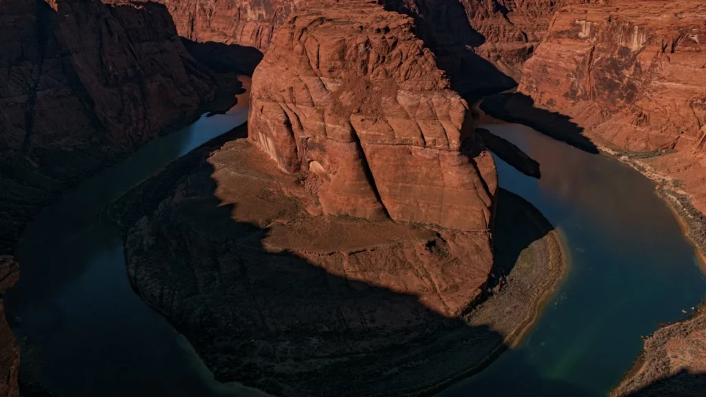
The photo at the top of this page is not Chevelon Fork.
It is a regional stand-in, honestly captioned but generic — we will not put a name to a river we cannot prove. Send us a photograph you took here and it replaces the stand-in, with your credit on it.
Add a photo of this water
Landscape, not fish — the water itself. Reviewed by hand before it appears. The first one published here earns the Pioneer badge.
Fished this water? Add a photo
Reviewed by hand before it appears. Pick the water, not the spot — we never publish exact locations.
Access
Chevelon Canyon Lake - the hike-in reservoir in the upper drainage, the best-known water here.
Chevelon Crossing - a forest road crossing and campground giving the main vehicle access.
Wildcat Canyon - the side canyon at the gauge location on the lower creek.
Apache-Sitgreaves National Forest - the public land holding the upper canyon.
Winslow - the nearest town to the north, with fuel, lodging and supplies.
Heber-Overgaard - the Rim community to the south, nearest to the upper drainage.
Little Colorado River - the mainstem north of Winslow, where the creek ends.
Seasons
Spring: snowmelt brings the best flows of the year and the canyon is at its most accessible.
Summer: hot and low in the lower creek, with the trout water in the shaded upper pools the only good option.
Fall: settled flows, cool temperatures and the most comfortable season for the long walk in.
Winter: cold, with snow on the Rim closing forest roads and access becoming unreliable.
From the water
No logged trips yet. Be the first to put this water on your map.
Log this water
Fished it or cleaned it? Log in or create a free account to log a trip with photos and earn the waterway badge.
Questions
What is the current flow on the Chevelon Fork?
As of Nov 2, 6:15 am, the USGS gauge CHEVELON FORK BELOW WILDCAT CANYON, NR WINSLOW, AZ reads 10,100 cfs. Conditions update every 15 minutes.
What species can you catch on the Chevelon Fork?
Anglers target Brown Trout, Channel Catfish, Common Carp, Green Sunfish, Rainbow Trout, Smallmouth Bass on the Chevelon Fork in Arizona.
Where can you access the Chevelon Fork?
Chevelon Canyon Lake - the hike-in reservoir in the upper drainage, the best-known water here. Chevelon Crossing - a forest road crossing and campground giving the main vehicle access. Wildcat Canyon - the side canyon at the gauge location on the lower creek. Apache-Sitgreaves National Forest - the public land holding the upper canyon. Winslow - the nearest town to the north, with fuel, lodging and supplies. Heber-Overgaard - the Rim community to the south, nearest to the upper drainage. Little Colorado River - the mainstem north of Winslow, where the creek ends.
When is the best time to fish the Chevelon Fork?
Spring: snowmelt brings the best flows of the year and the canyon is at its most accessible. Summer: hot and low in the lower creek, with the trout water in the shaded upper pools the only good option. Fall: settled flows, cool temperatures and the most comfortable season for the long walk in. Winter: cold, with snow on the Rim closing forest roads and access becoming unreliable.
Where are the fishing regulations for the Chevelon Fork?
Regulations change by season and section. Read the current rules on the Arizona agency site: https://www.azgfd.com/fishing-2/licenses-and-regulations/