Quinebaug River Fishing Guides
The Massachusetts headwater of the Quinebaug, running below the East Brimfield dam at Sturbridge with stocked trout and a quiet, easily reached corridor.
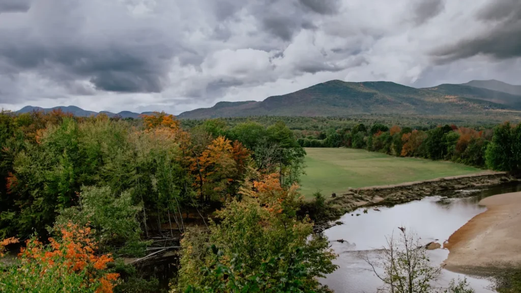
Guides on the Quinebaug River
Claimed profiles take booking requests. Unclaimed profiles are built from public records so the river is never empty; the guide can claim or remove one any time.
No guides listed yet
Guide or outfit this water? Create your profile. Listing is free, the commission is 10% or 7% with a premium profile, and premium profiles list first on this water.
About the Quinebaug River
The Quinebaug rises in south central Massachusetts and runs south into Connecticut, and the reach below the East Brimfield dam at Fiskdale is where it first becomes a river worth fishing. East Brimfield is an Army Corps flood-control structure, one of several on this system, and the release below it gives the river steadier flow than a drainage of sixty-odd square miles would otherwise provide. That steadiness is the whole reason trout hold here into the summer.
Massachusetts stocks the river with brown, rainbow and brook trout, and the deeper pools below the dam hold fish well past the spring rush. The fishing is close-quarters and unglamorous in the best sense – short runs, ledge pools, overhanging alder, and water that can be covered properly in an afternoon. As the river runs south and warms it becomes a mixed warmwater fishery, with largemouth and smallmouth bass, chain pickerel and yellow perch through the slower reaches and the impoundments.
The setting is worth the trip on its own. The corridor runs through the Sturbridge area with the Corps recreation land at East Brimfield and Westville providing protected banks, walking trails and parking, and Old Sturbridge Village sitting on the river just downstream. It is an easy river to combine with a family day, which is not something that can be said of most trout water.
This is a flood-control system rather than a water-supply one, so flows respond to rainfall and to Corps management rather than following a predictable daily pattern. Check the gauge before travelling. Read the current Massachusetts regulations for stocked-water seasons and limits, and note that the Westville dam downstream creates a second, separate reach with its own character.
This water needs a real photo
The photo at the top of this page is not Quinebaug River.
It is a regional stand-in, honestly captioned but generic — we will not put a name to a river we cannot prove. Send us a photograph you took here and it replaces the stand-in, with your credit on it.
Add a photo of this water
Landscape, not fish — the water itself. Reviewed by hand before it appears. The first one published here earns the Pioneer badge.
Fished this water? Add a photo
Reviewed by hand before it appears. Pick the water, not the spot — we never publish exact locations.
Access
Below East Brimfield Dam, Fiskdale - the gauge reach and the top of the release water.
East Brimfield Lake Recreation Area - Corps parking, ramp and trails at the dam.
Old Sturbridge Village area - bank access on the river through Sturbridge.
Westville Lake Recreation Area - the second Corps impoundment downstream.
Route 20 crossings - roadside access along the corridor.
Southbridge - access on the lower Massachusetts reach.
Quinebaug River Trail - walk-in access along parts of the corridor.
Seasons
Spring: stocking, strong flows and the best trout fishing of the year.
Summer: the release holds the upper reach up while the lower river turns warm.
Fall: a second stocking, cooling water and very little pressure on the river.
Winter: cold and largely iced, with pickerel and perch on the slower water.
From the water
No logged trips yet. Be the first to put this water on your map.
Log this water
Fished it or cleaned it? Log in or create a free account to log a trip with photos and earn the waterway badge.
Questions
What is the current flow on the Quinebaug River?
As of Sep 17, 4:30 am, the USGS gauge QUINEBAUG R BL E BRIMFIELD DAM AT FISKDALE, MA reads 13 cfs. Conditions update every 15 minutes.
What species can you catch on the Quinebaug River?
Anglers target Bluegill, Brook Trout, Brown Trout, Chain Pickerel, Largemouth Bass, Rainbow Trout, Smallmouth Bass, Yellow Perch on the Quinebaug River in Massachusetts.
Where can you access the Quinebaug River?
Below East Brimfield Dam, Fiskdale - the gauge reach and the top of the release water. East Brimfield Lake Recreation Area - Corps parking, ramp and trails at the dam. Old Sturbridge Village area - bank access on the river through Sturbridge. Westville Lake Recreation Area - the second Corps impoundment downstream. Route 20 crossings - roadside access along the corridor. Southbridge - access on the lower Massachusetts reach. Quinebaug River Trail - walk-in access along parts of the corridor.
When is the best time to fish the Quinebaug River?
Spring: stocking, strong flows and the best trout fishing of the year. Summer: the release holds the upper reach up while the lower river turns warm. Fall: a second stocking, cooling water and very little pressure on the river. Winter: cold and largely iced, with pickerel and perch on the slower water.
Where are the fishing regulations for the Quinebaug River?
Regulations change by season and section. Read the current rules on the Massachusetts agency site: https://www.mass.gov/info-details/freshwater-fishing-regulations