Dismal River Fishing Guides
A spring-fed Sandhills river running cold, fast and narrow through grass canyons, with wild brown trout and almost nobody fishing it.
Guides on the Dismal River
Claimed profiles take booking requests. Unclaimed profiles are built from public records so the river is never empty; the guide can claim or remove one any time.
No guides listed yet
Guide or outfit this water? Create your profile. Listing is free, the commission is 10% or 7% with a premium profile, and premium profiles list first on this water.
About the Dismal River
The Dismal River is one of the genuine surprises of the Great Plains. It runs through the Nebraska Sandhills, fed almost entirely by groundwater seeping out of the Ogallala aquifer rather than by surface runoff, which gives it something very unusual for a prairie river – a steady, cold, remarkably consistent flow year round. The name is a settler’s joke about the difficulty of crossing it, not a description of the country, which is open grass-covered dune country of real beauty.
That spring-fed character is what makes the fishing work. The water stays cold enough through a Nebraska summer to support wild brown trout, which reproduce naturally in the system and hold in the undercut banks and the deeper bends. Rainbows are present as well. Channel catfish, northern pike and smallmouth occupy the warmer lower reaches toward the Middle Loup confluence. The trout fishing is the draw and it is a legitimate surprise to anglers who associate Nebraska with warmwater species alone.
The river is small, fast and tight, running in a narrow channel with steep grassy banks and frequent sharp bends. Floating it is a genuine adventure rather than a casual paddle – the current is quick, the channel is often blocked by fences and downed timber, and the corridor is remote. Most anglers wade rather than float, working upstream and covering the holding water carefully.
Access is the real difficulty and it must be planned for. The Sandhills are almost entirely private ranch land, and public access to the Dismal is very limited. Nebraska Game and Parks maintains some access points and the state’s public access programs are worth checking, but anglers should expect to seek permission or to concentrate on the few public reaches. Respect gates, fences and stock, and the ranching community is generally reasonable about access.
This water needs a real photo
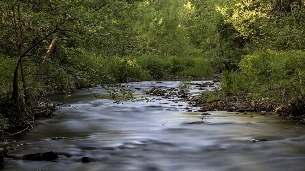
The photo at the top of this page is not Dismal River.
It is a regional stand-in, honestly captioned but generic — we will not put a name to a river we cannot prove. Send us a photograph you took here and it replaces the stand-in, with your credit on it.
Add a photo of this water
Landscape, not fish — the water itself. Reviewed by hand before it appears. The first one published here earns the Pioneer badge.
Fished this water? Add a photo
Reviewed by hand before it appears. Pick the water, not the spot — we never publish exact locations.
Access
Thedford - the gauge reach and the most convenient orientation point on the river.
Highway 83 crossing - bridge access on the upper river.
Nebraska National Forest, Bessey District - public land access in the corridor.
Dunning area - access near the Middle Loup confluence.
Highway 2 corridor crossings - scattered bridge access through the Sandhills.
Nebraska Game and Parks access points - limited public access through ranch country.
Middle Loup confluence - the bottom of the Dismal reach.
Seasons
Spring: steady spring-fed flows and the most comfortable wading of the year.
Summer: cold water holds trout through the heat while the surrounding country bakes.
Fall: brown trout color up and move, and the Sandhills are at their best.
Winter: cold but rarely frozen solid, thanks to the constant groundwater input.
From the water
No logged trips yet. Be the first to put this water on your map.
Log this water
Fished it or cleaned it? Log in or create a free account to log a trip with photos and earn the waterway badge.
Questions
What is the current flow on the Dismal River?
As of Sep 17, 5:45 am, the USGS gauge Dismal River near Thedford, Nebr. reads 247 cfs, with water temperature 58.3 F. Conditions update every 15 minutes.
What species can you catch on the Dismal River?
Anglers target Brown Trout, Channel Catfish, Longnose Gar, Northern Pike, Rainbow Trout, Smallmouth Bass on the Dismal River in Nebraska.
Where can you access the Dismal River?
Thedford - the gauge reach and the most convenient orientation point on the river. Highway 83 crossing - bridge access on the upper river. Nebraska National Forest, Bessey District - public land access in the corridor. Dunning area - access near the Middle Loup confluence. Highway 2 corridor crossings - scattered bridge access through the Sandhills. Nebraska Game and Parks access points - limited public access through ranch country. Middle Loup confluence - the bottom of the Dismal reach.
When is the best time to fish the Dismal River?
Spring: steady spring-fed flows and the most comfortable wading of the year. Summer: cold water holds trout through the heat while the surrounding country bakes. Fall: brown trout color up and move, and the Sandhills are at their best. Winter: cold but rarely frozen solid, thanks to the constant groundwater input.
Where are the fishing regulations for the Dismal River?
Regulations change by season and section. Read the current rules on the Nebraska agency site: https://outdoornebraska.gov/guides-maps/fishing-guides-reports/fishing-guide/