Spring Creek Fishing Guides
Pennsylvania's best-known limestone spring creek, a wild brown trout fishery through the Nittany Valley with no-harvest regulations throughout.
Map of the Spring Creek
36 numbered points: 1 access point, 1 bait & fly shop, 11 bridges, 9 parks and conservation areas, 2 agency offices, 6 regulation section limits, 1 hazard, 3 springs, 1 USGS gauge, 1 point of interest. Tap a marker for details. Reviewed Sep 25, 2026.
- Access / boat ramp (1)
- Bait, tackle & fly shop (1)
- Bridge crossing (11)
- Park / conservation area (9)
- Agency / conservation office (2)
- Regulation section limit (6)
- Dam / hazard (1)
- Spring (3)
- USGS gauge (1)
- Point of interest (1)
Print it. Bag it. Bring it.Phones die, screens crack, and most of this water has no signal. Print this map, fold it into a zip-top bag or dry bag with your license, and you have a backup your electronics can’t give you. Every marker is numbered so you can say exactly where you are.
Open the printable mapAll 36 points on this map
| # | Point | Type | Lat, Lon | Notes |
|---|---|---|---|---|
| 1 | Upper limit of Spring Creek's special-regulation water PFBC section 2 - upper limit | Regulation section limit | 40.79748, -77.80605 | Upstream end of the 11.0-mile PFBC section 2 reach. Everything downstream of here to the mouth is special-regulation water; the creek above it is not. |
| 2 | General Potter Highway (US 322 / PA 144 Truck) Potter Township | Bridge crossing | 40.78680, -77.71603 | Highest road crossing of the chained centreline, about 1.3 km down from the headwater end. |
| 3 | Fasick Park Harris Township | Park / conservation area | 40.78189, -77.76802 | Township park on the south bank near Boalsburg; the footpath ladder through this stretch is all unnamed and was not mapped. |
| 4 | Boalsburg Pike Harris Township | Bridge crossing | 40.78055, -77.79302 | |
| 5 | Mount Nittany Expressway (US 322) Two carriageways, one crossing | Bridge crossing | 40.78948, -77.79878 | Northbound and southbound decks are separate OSM ways 30 m apart and ship as a single crossing. |
| 6 | Linden Hall Road College Township | Bridge crossing | 40.79299, -77.79841 | The Brush Valley Road crossing sits 60 m downstream and is not mapped separately. |
| 7 | Oak Hall Parklet College Township | Park / conservation area | 40.79325, -77.79929 | Small roadside parklet on the bank, 16 m off the centreline. |
| 8 | Boalsburg Road College Township | Bridge crossing | 40.79510, -77.80610 | 260 m below the upper limit of the special-regulation water. |
| 9 | Glenn Park Lemont | Park / conservation area | 40.80776, -77.82155 | |
| 10 | East Branch Road College Township | Bridge crossing | 40.80837, -77.81949 | |
| 11 | Cairns Crossing Lemont · creekside open space | Park / conservation area | 40.81003, -77.82054 | The Elmwood Street bridge sits 33 m away and rides in here rather than as a second point. |
| 12 | The Lemont Village Green Lemont | Park / conservation area | 40.81109, -77.81719 | |
| 13 | TCO Fly Shop - State College 2030 E College Ave | Bait, tackle & fly shop | 40.81891, -77.81732 | The only tackle or fly shop OSM carries anywhere on the creek. Open and trading - its own Central PA fishing report was published in 2026. |
| 14 | East College Avenue PA 26 corridor | Bridge crossing | 40.81804, -77.81881 | |
| 15 | Spring Creek Park Houserville · College Township | Park / conservation area | 40.82072, -77.82961 | The main signed creekside park on the State College stretch, 61 m off the water. |
| 16 | Puddintown Road College Township | Bridge crossing | 40.82085, -77.83282 | |
| 17 | Houserville Road College Township | Bridge crossing | 40.82965, -77.83191 | |
| 18 | USGS 01546400 Spring Creek at Houserville Flow and stage | USGS gauge | 40.83367, -77.82750 | Sits at the Trout Road (T365) bridge, which rides in here rather than as a separate crossing. Roster coordinate landed 23 m off the chained centreline. |
| 19 | Interstate 99 / US 220 Two carriageways, one crossing | Bridge crossing | 40.84342, -77.82287 | |
| 20 | Benner Spring Benner Township | Spring | 40.85114, -77.82230 | 31 m off the centreline. One of the limestone risings that make this a year-round cold-water creek. |
| 21 | Benner Spring State Fish Hatchery Pennsylvania Fish and Boat Commission | Agency / conservation office | 40.85768, -77.81620 | PFBC research station and hatchery on the left bank; re-typed from the OSM aquaculture landuse polygon. |
| 22 | Upper limit of the Catch-and-Release Fly-Fishing Only reach PFBC section 3 - upper limit | Regulation section limit | 40.87783, -77.79442 | Upstream end of the 1.26-mile Fisherman's Paradise reach, and the downstream end of PFBC section 2. Landed 7 m off the chained line. |
| 23 | Fisherman's Paradise parking Walk-in · no ramp | Access / boat ramp | 40.87991, -77.79260 | The signed angler parking for the Fisherman's Paradise reach, 36 m off the water. Spring Creek is a wadeable trout stream - there are no boat launches anywhere on it. |
| 24 | Forked Spring Benner Township | Spring | 40.88006, -77.79417 | |
| 25 | Bellefonte State Fish Hatchery at Fisherman's Paradise Pennsylvania Fish and Boat Commission | Agency / conservation office | 40.88185, -77.79419 | The hatchery the Paradise reach is named for; re-typed from the OSM aquaculture polygon. |
| 26 | Lower limit of the Catch-and-Release Fly-Fishing Only reach PFBC section 3 - lower limit | Regulation section limit | 40.88348, -77.78887 | Downstream end of the Fisherman's Paradise reach and the upstream end of PFBC section 4. |
| 27 | USGS 01546500 Spring Creek near Axemann Second USGS station on the creek | Point of interest | 40.88986, -77.79427 | Not the sheet's gauge - the water page reads 01546400 at Houserville. Sits at the Spring Creek Road bridge, which rides in here. |
| 28 | Buffalo Run Road (PA 550) Benner Township | Bridge crossing | 40.90162, -77.79748 | First mapped crossing in 11 km - the Benner and Paradise stretch has almost no road access, which is why the walk-in parking matters. |
| 29 | Masullo Park Bellefonte Borough | Park / conservation area | 40.90923, -77.78468 | |
| 30 | Upper limit of the closed section at Bellefonte PFBC section 5 - upper limit | Regulation section limit | 40.91019, -77.78236 | Upstream end of a 0.43-mile closed reach through the Bellefonte hatchery water. Read the PFBC page before fishing here. |
| 31 | Big Spring Bellefonte | Spring | 40.90917, -77.78114 | The rising the town is named for, 144 m off the centreline. |
| 32 | Weir below Big Spring Unnamed in OSM | Dam / hazard | 40.91080, -77.78106 | Mapped as a weir, 2 m off the chained centreline, inside the closed reach. |
| 33 | Lower limit of the closed section, at the West High Street bridge PFBC section 5 - lower limit | Regulation section limit | 40.91153, -77.78086 | The section boundary and the West High Street crossing are the same point - the PASDA limit landed 18 m from the bridge, so they ship as one marker. |
| 34 | Krauss Park Bellefonte Borough | Park / conservation area | 40.91470, -77.78368 | The West Lamb Street bridge sits 40 m away and rides in here. |
| 35 | Milesburg Park Milesburg Borough | Park / conservation area | 40.94184, -77.78913 | Last park on the creek; the Commercial Street bridge is 190 m upstream. |
| 36 | Lower limit of the special-regulation water, at the mouth PFBC section 6 - lower limit | Regulation section limit | 40.94301, -77.78730 | Spring Creek ends here at Bald Eagle Creek in Milesburg, beside the Mill Street (PA 144 / PA 150) bridge. Chained centreline and PASDA limit agree to 9 m. |
Guides on the Spring Creek
Claimed profiles take booking requests. Unclaimed profiles are built from public records so the river is never empty; the guide can claim or remove one any time.
No guides listed yet
Guide or outfit this water? Create your profile. Listing is free, the commission is 10% or 7% with a premium profile, and premium profiles list first on this water.
About the Spring Creek
Spring Creek rises from limestone springs in the Nittany Valley of Centre County and runs north past State College, Houserville and Bellefonte before joining Bald Eagle Creek. It is the water most people mean when they talk about Pennsylvania limestone fishing. The springs that feed it hold temperature within a narrow band year round, and the dissolved carbonate in the water supports an insect population dense enough to grow wild brown trout at a rate that freestone streams in the same county cannot approach.
The fishery is entirely wild and entirely catch and release. The whole stream is managed under no-harvest regulations, a legacy of the industrial contamination that closed it to harvest decades ago, and the population has responded with some of the highest wild trout densities measured anywhere in the state. Brown trout dominate by a wide margin, with rainbow and brook trout present in smaller numbers. The fish see a great deal of pressure and behave accordingly.
The famous water is the Fisherman’s Paradise section near Bellefonte, but the creek fishes well along much of its length and the reaches through Houserville and the Benner Springs area get less attention. Access is unusually good for a stream of this reputation, with the Spring Creek Canyon corridor, several public parcels and a rail trail providing parking and walking access at many points along the valley.
Because the flow is spring-fed it stays remarkably steady, and the creek is fishable in conditions that would put a freestone stream out of shape entirely. Winter fishing is genuinely productive here for the same reason. Sulphurs in late spring and tricos in late summer are the hatches anglers plan around, but midges keep fish looking up through the cold months, which makes this a year-round destination.
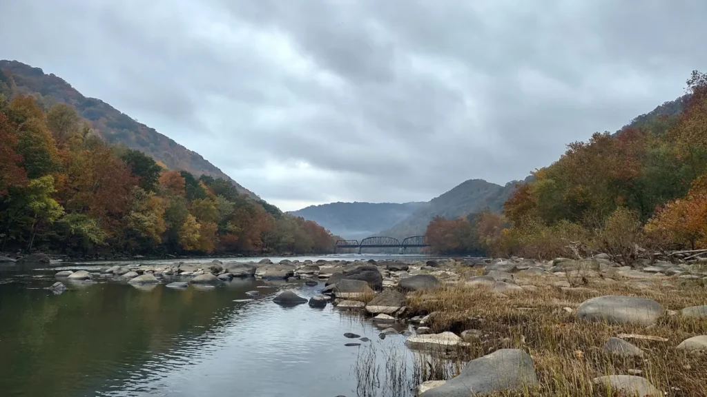
This water needs a real photo
The photo at the top of this page is not Spring Creek.
It is a regional stand-in, honestly captioned but generic — we will not put a name to a river we cannot prove. Send us a photograph you took here and it replaces the stand-in, with your credit on it.
Add a photo of this water
Landscape, not fish — the water itself. Reviewed by hand before it appears. The first one published here earns the Pioneer badge.
Fished this water? Add a photo
Reviewed by hand before it appears. Pick the water, not the spot — we never publish exact locations.
Access
Houserville - the gauge reach on the middle creek above Bellefonte.
Fisherman's Paradise - the best-known section of the stream, below Bellefonte.
Spring Creek Canyon - a protected corridor with walking access along the water.
Benner Springs - access near the state fish culture station on the middle creek.
Bellefonte - the town on the lower creek with in-town access and supplies.
State College - the nearest city and the upper valley approach to the creek.
Milesburg - the confluence with Bald Eagle Creek at the bottom end.
Seasons
Spring: sulphur hatches from late May into June bring the best dry fly fishing of the year.
Summer: steady spring flows keep the creek cold, with trico hatches through August mornings.
Fall: consistent conditions and less pressure make October and November quietly excellent.
Winter: genuinely fishable throughout, with midges keeping wild browns feeding on the surface.
From the water
No logged trips yet. Be the first to put this water on your map.
Log this water
Fished it or cleaned it? Log in or create a free account to log a trip with photos and earn the waterway badge.
Questions
What is the current flow on the Spring Creek?
As of Nov 2, 6:45 am, the USGS gauge Spring Creek at Houserville, PA reads 38 cfs. Conditions update every 15 minutes.
What species can you catch on the Spring Creek?
Anglers target Brook Trout, Brown Trout, Rainbow Trout on the Spring Creek in Pennsylvania.
Where can you access the Spring Creek?
Houserville - the gauge reach on the middle creek above Bellefonte. Fisherman's Paradise - the best-known section of the stream, below Bellefonte. Spring Creek Canyon - a protected corridor with walking access along the water. Benner Springs - access near the state fish culture station on the middle creek. Bellefonte - the town on the lower creek with in-town access and supplies. State College - the nearest city and the upper valley approach to the creek. Milesburg - the confluence with Bald Eagle Creek at the bottom end.
When is the best time to fish the Spring Creek?
Spring: sulphur hatches from late May into June bring the best dry fly fishing of the year. Summer: steady spring flows keep the creek cold, with trico hatches through August mornings. Fall: consistent conditions and less pressure make October and November quietly excellent. Winter: genuinely fishable throughout, with midges keeping wild browns feeding on the surface.
Where are the fishing regulations for the Spring Creek?
Regulations change by season and section. Read the current rules on the Pennsylvania agency site: https://www.fishandboat.com/Fishing/Pages/FishingRegulations.aspx