Battle Creek Fishing Guides
A small granite-country trout creek draining the slopes below Mount Rushmore, with wild brown trout and brook trout in a tight, wooded canyon.
Guides on the Battle Creek
Claimed profiles take booking requests. Unclaimed profiles are built from public records so the river is never empty; the guide can claim or remove one any time.
No guides listed yet
Guide or outfit this water? Create your profile. Listing is free, the commission is 10% or 7% with a premium profile, and premium profiles list first on this water.
About the Battle Creek
Battle Creek rises in the high granite of the central Black Hills and runs east past Keystone toward Hermosa and the open prairie beyond. The gauge sits above Keystone, on the reach that drains the country immediately below Mount Rushmore, and it measures a genuinely small stream. This is a creek an angler can step across in places, running through ponderosa pine and spruce with granite outcrops crowding the banks and a canopy that closes over the water for long stretches.
The character is freestone. Battle Creek runs hard and cold with snowmelt through April and May, settles into a clear low-summer flow by July, and can get genuinely thin in a dry August. The channel alternates between short plunge pools behind granite ledges, shallow riffles over decomposed granite gravel, and slower flats where the valley opens. Structure is mostly rock and fallen timber rather than undercut bank, which means fish hold in predictable places once you learn to read the pools.
Brown trout are the dominant fish through the gauge reach and the water below it, and they are wild and stream-born rather than stocked. Brook trout push up into the colder headwater tributaries and the shaded upper canyon, where they are small, numerous and willing. Rainbows appear in the stocked sections nearer Keystone and in the lower valley. Nothing here runs large by Western standards, and the appeal is the opposite of size: precise, close-quarters fishing on a stream where a careful approach matters more than a long cast.
The overhead cover that keeps the creek cold is also the main obstacle. Roll casts, bow-and-arrow casts and a short rod earn their keep, and most of the productive water is fished from in the stream rather than from the bank. Summer thunderstorms over the granite can raise and color the creek within an hour, so it pays to watch the sky as much as the water.
The surrounding country is the most heavily visited corner of the Black Hills, and the practical consequence is traffic rather than crowding on the water itself. Keystone fills with Mount Rushmore visitors through the summer, but very few of them walk the creek. Mixed public and private ground along the valley makes access the thing to sort out before you fish, and the posted boundaries are worth respecting carefully here.
This water needs a real photo
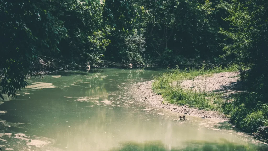
The photo at the top of this page is not Battle Creek.
It is a regional stand-in, honestly captioned but generic — we will not put a name to a river we cannot prove. Send us a photograph you took here and it replaces the stand-in, with your credit on it.
Add a photo of this water
Landscape, not fish — the water itself. Reviewed by hand before it appears. The first one published here earns the Pioneer badge.
Fished this water? Add a photo
Reviewed by hand before it appears. Pick the water, not the spot — we never publish exact locations.
Access
Keystone - the village at the gauge reach, with parking and the most direct access to the upper creek.
Mount Rushmore National Memorial - the drainage divide above the creek, with the main visitor infrastructure.
Hermosa - the lower valley where the creek leaves the hills for the prairie.
Highway 40 - the road tracing the lower creek with intermittent pullouts.
Highway 16A - the Iron Mountain Road above the drainage, scenic and slow.
Black Hills National Forest - the public ground holding most of the fishable upper reaches.
Custer State Park - the adjoining public land to the south with additional creek access.
Seasons
Spring: high cold snowmelt through April and May, with the creek pushy and off color after storms.
Summer: clear and low by July, with early and late light fishing best and the headwaters staying coldest.
Fall: settled flows, cooling water and brown trout coloring up ahead of the spawn.
Winter: cold, often iced over, with limited access once snow closes the side roads.
From the water
No logged trips yet. Be the first to put this water on your map.
Log this water
Fished it or cleaned it? Log in or create a free account to log a trip with photos and earn the waterway badge.
Questions
What species can you catch on the Battle Creek?
Anglers target Brook Trout, Brown Trout, Rainbow Trout on the Battle Creek in South Dakota.
Where can you access the Battle Creek?
Keystone - the village at the gauge reach, with parking and the most direct access to the upper creek. Mount Rushmore National Memorial - the drainage divide above the creek, with the main visitor infrastructure. Hermosa - the lower valley where the creek leaves the hills for the prairie. Highway 40 - the road tracing the lower creek with intermittent pullouts. Highway 16A - the Iron Mountain Road above the drainage, scenic and slow. Black Hills National Forest - the public ground holding most of the fishable upper reaches. Custer State Park - the adjoining public land to the south with additi...
When is the best time to fish the Battle Creek?
Spring: high cold snowmelt through April and May, with the creek pushy and off color after storms. Summer: clear and low by July, with early and late light fishing best and the headwaters staying coldest. Fall: settled flows, cooling water and brown trout coloring up ahead of the spawn. Winter: cold, often iced over, with limited access once snow closes the side roads.
Where are the fishing regulations for the Battle Creek?
Regulations change by season and section. Read the current rules on the South Dakota agency site: https://gfp.sd.gov/pages/regulations/