Cow Bayou Fishing Guides
An Orange County bayou running from freshwater timber down to the tidal Sabine system, with bass up top and redfish and flounder in the lower reach.
Guides on the Cow Bayou
Claimed profiles take booking requests. Unclaimed profiles are built from public records so the river is never empty; the guide can claim or remove one any time.
No guides listed yet
Guide or outfit this water? Create your profile. Listing is free, the commission is 10% or 7% with a premium profile, and premium profiles list first on this water.
About the Cow Bayou
Cow Bayou rises in the pine and hardwood flats of northern Orange County and runs south through Mauriceville and Bridge City to meet the Neches and Sabine confluence above Sabine Lake. It is one of the defining waters of the Golden Triangle, and what makes it worth fishing is that it spans two different fisheries in a single short drainage. The upper reach is freshwater bayou; the lower reach is tidal, brackish and connected to the bay.
The upper bayou near the Mauriceville gauge is narrow, stained and slow, lined with cypress and hardwood and overhung enough that shade is the dominant feature. Flow responds hard to rainfall, and this is country that gets a great deal of it, so the bayou can go from nearly still to swollen and pushing within a day. The bottom is soft, the banks are cut, and laydown timber is everywhere and is where the fish are.
Downstream of Bridge City the character changes completely. Tide moves the water, salinity climbs, and marsh grass replaces the hardwood. Redfish work the shorelines and the drains on a falling tide, southern flounder stage at the cuts and creek mouths through the fall, and speckled trout push in when the salinity suits them. The transition zone in between is the interesting water, where a largemouth and a slot redfish can come from the same stretch of bank.
Access is straightforward by southeast Texas standards. There are public ramps in Bridge City and Orange serving the lower bayou, the Interstate 10 and state highway crossings give bank and kayak access in the middle, and the upper bayou around Mauriceville is small water best suited to a kayak. Much of the bank is private, so the water itself is the working right of way, and the public ramps are the reliable way in.
Season and rainfall govern everything. Heavy rain pushes fresh water far down the bayou and moves the salt line miles toward the bay, which relocates the whole fishery for a week or more. Spring is strong for bass on the upper cover. Fall is the marquee period, when flounder run the lower bayou and redfish feed hard. Summer is hot and best at first light, and winter concentrates fish in the deeper bends and the channel.
This water needs a real photo
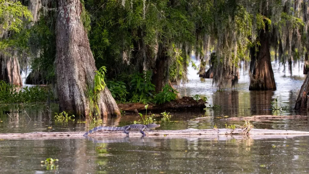
The photo at the top of this page is not Cow Bayou.
It is a regional stand-in, honestly captioned but generic — we will not put a name to a river we cannot prove. Send us a photograph you took here and it replaces the stand-in, with your credit on it.
Add a photo of this water
Landscape, not fish — the water itself. Reviewed by hand before it appears. The first one published here earns the Pioneer badge.
Fished this water? Add a photo
Reviewed by hand before it appears. Pick the water, not the spot — we never publish exact locations.
Access
Mauriceville - the Orange County community on the upper bayou and the gauge location.
Bridge City - the town on the lower bayou with public ramps and the tidal reach.
Orange - the county seat on the Sabine with full services and tackle.
Sabine Lake - the bay system the bayou drains into below Bridge City.
Neches River - the larger river joining the same confluence.
Interstate 10 crossing - the highway bridge access in the middle reach.
Tony Houseman State Park and Wildlife Management Area - the public tract on the nearby Sabine.
Seasons
Spring: strong bass fishing on the upper bayou timber as the water warms.
Summer: hot and low, best at first light, with the salt line pushed well up the bayou.
Fall: the best of the year, with the flounder run and hard feeding redfish in the lower reach.
Winter: cool water with fish concentrated in the deeper bends and the main channel.
From the water
No logged trips yet. Be the first to put this water on your map.
Log this water
Fished it or cleaned it? Log in or create a free account to log a trip with photos and earn the waterway badge.
Questions
What is the current flow on the Cow Bayou?
As of Sep 17, 5:00 am, the USGS gauge Cow Bayou nr Mauriceville, TX reads 1 cfs. Conditions update every 15 minutes.
What species can you catch on the Cow Bayou?
Anglers target Blue Catfish, Bluegill, Channel Catfish, Largemouth Bass, Red Drum, Southern Flounder, Spotted Bass on the Cow Bayou in Texas.
Where can you access the Cow Bayou?
Mauriceville - the Orange County community on the upper bayou and the gauge location. Bridge City - the town on the lower bayou with public ramps and the tidal reach. Orange - the county seat on the Sabine with full services and tackle. Sabine Lake - the bay system the bayou drains into below Bridge City. Neches River - the larger river joining the same confluence. Interstate 10 crossing - the highway bridge access in the middle reach. Tony Houseman State Park and Wildlife Management Area - the public tract on the nearby Sabine.
When is the best time to fish the Cow Bayou?
Spring: strong bass fishing on the upper bayou timber as the water warms. Summer: hot and low, best at first light, with the salt line pushed well up the bayou. Fall: the best of the year, with the flounder run and hard feeding redfish in the lower reach. Winter: cool water with fish concentrated in the deeper bends and the main channel.
Where are the fishing regulations for the Cow Bayou?
Regulations change by season and section. Read the current rules on the Texas agency site: https://tpwd.texas.gov/regulations/outdoor-annual/fishing/